
Desert Bound: Arizona Spring 19
Well, travel fans, I’ve finally gotten through the Paris pictures and am getting to our spring 2019 Arizona trip. We left for AZ a week later than we had planned due to colds acquired on our trip to France. Mine was on the flight over and Cathy’s was while we were there. Damp, cold weather and going in and out of overly heated buildings took it’s toll. What are ya gonna do? We held off on leaving in order to get over the colds before we hit the road. No fun traveling when sick.

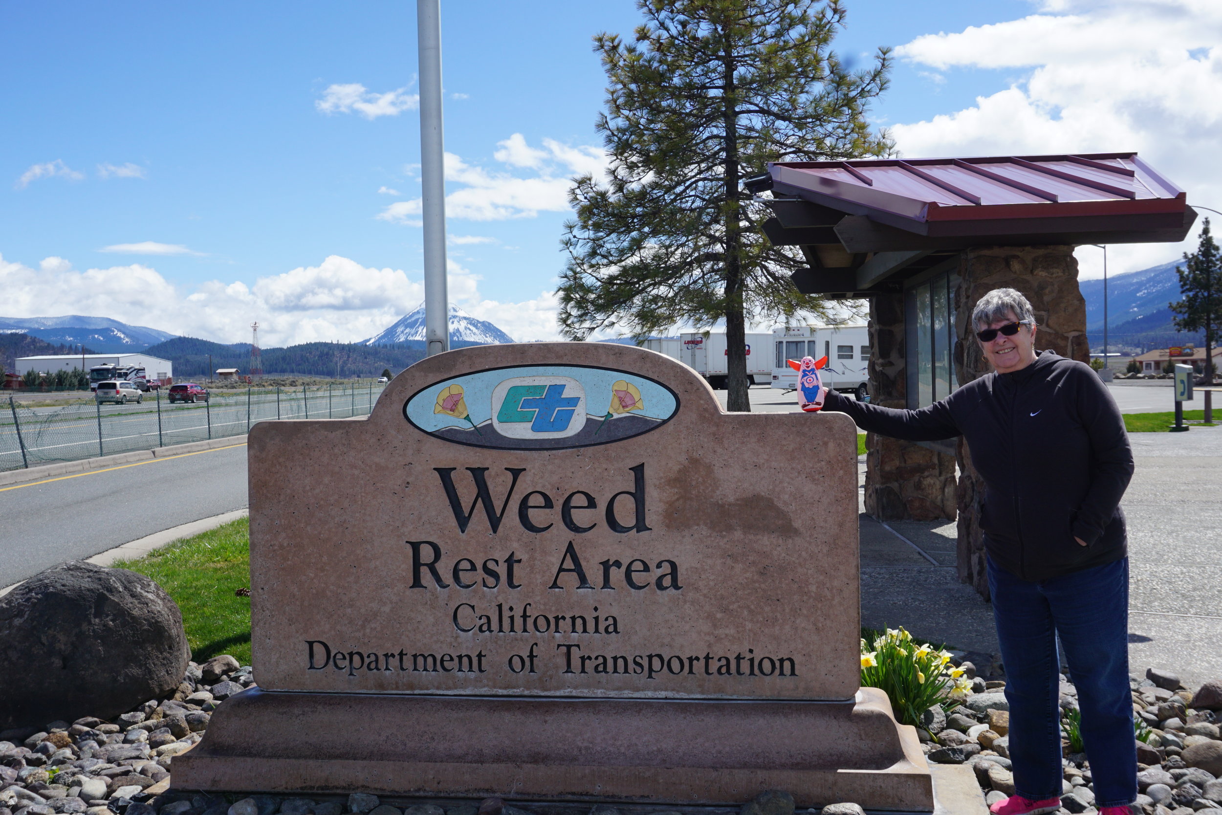
This trip we took the “coastal” route. Down through Oregon and California to just north of LA before heading over to old-folks land. We took four days, stopping in Roseburg, OR, Sacramento and Santa Clarita, CA. We hadn’t driven this way yet and the continuing winter weather, it snowed in Eastern Washington the week before we left, made the coast route preferable. We didn’t want to get caught in late winter weather in Idaho and Northern Nevada.
Found some really good little restaurants too. In Roseburg try Dino’s Ristorante Italiano. I know, Italian again??? Get used to it. It’s Northern Italian so the bolongnese sauce was lightly applied to the pasta, but delicious. The calamari was prepared perfectly. They have a pretty limited wine list, probably because Roseburg is pretty small, but if you’re in that town it’s worth a stop. In Sacramento we stayed almost downtown and ate at the Fat City Bar & Cafe. It’s in a restored old building. Their food matches the quality of the restoration. The house salad is delicious and big enough that a salad and appetizer is enough for dinner. I had the meatloaf. Now, this is not your mother’s dried out lump of hamburger you had to smother in ketchup to get down. It’s like a giant meatball loaf and with the marinara sauce smothering it it’s like eating a meatball sandwich without the bread. In Santa Clarita we hit the Piccola Trattoria. A smallish place where eating outside is actually a covered, enclosed porch. I’d highly recommend this place. It’s a broad menu and excellently prepared. I had ravioli with carciofi (artichoke) and gamberi. Cathy had the special soup, pea with pancetta. The soup only comes in bowl size and you better be hungry. It’s rich and filling. This place compare favorably with good Italian restaurants in Italy and Sicily.
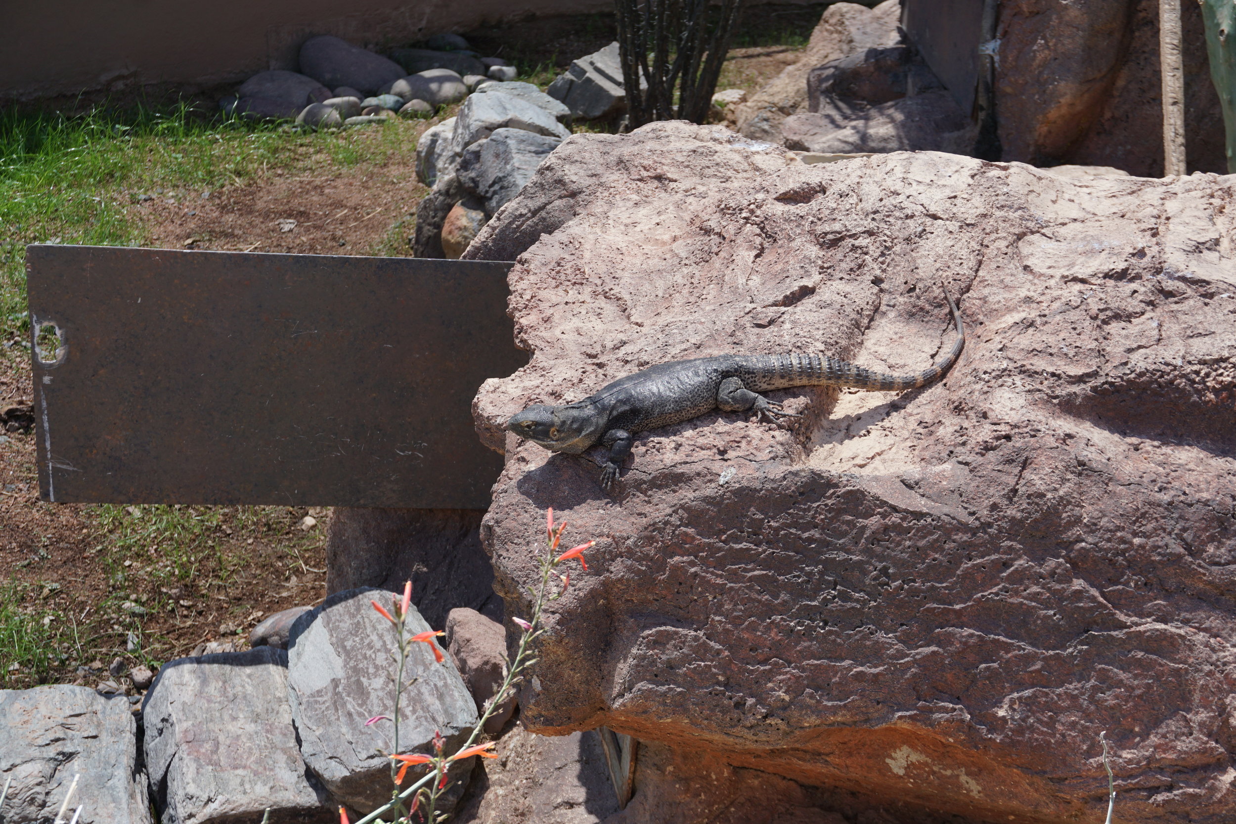
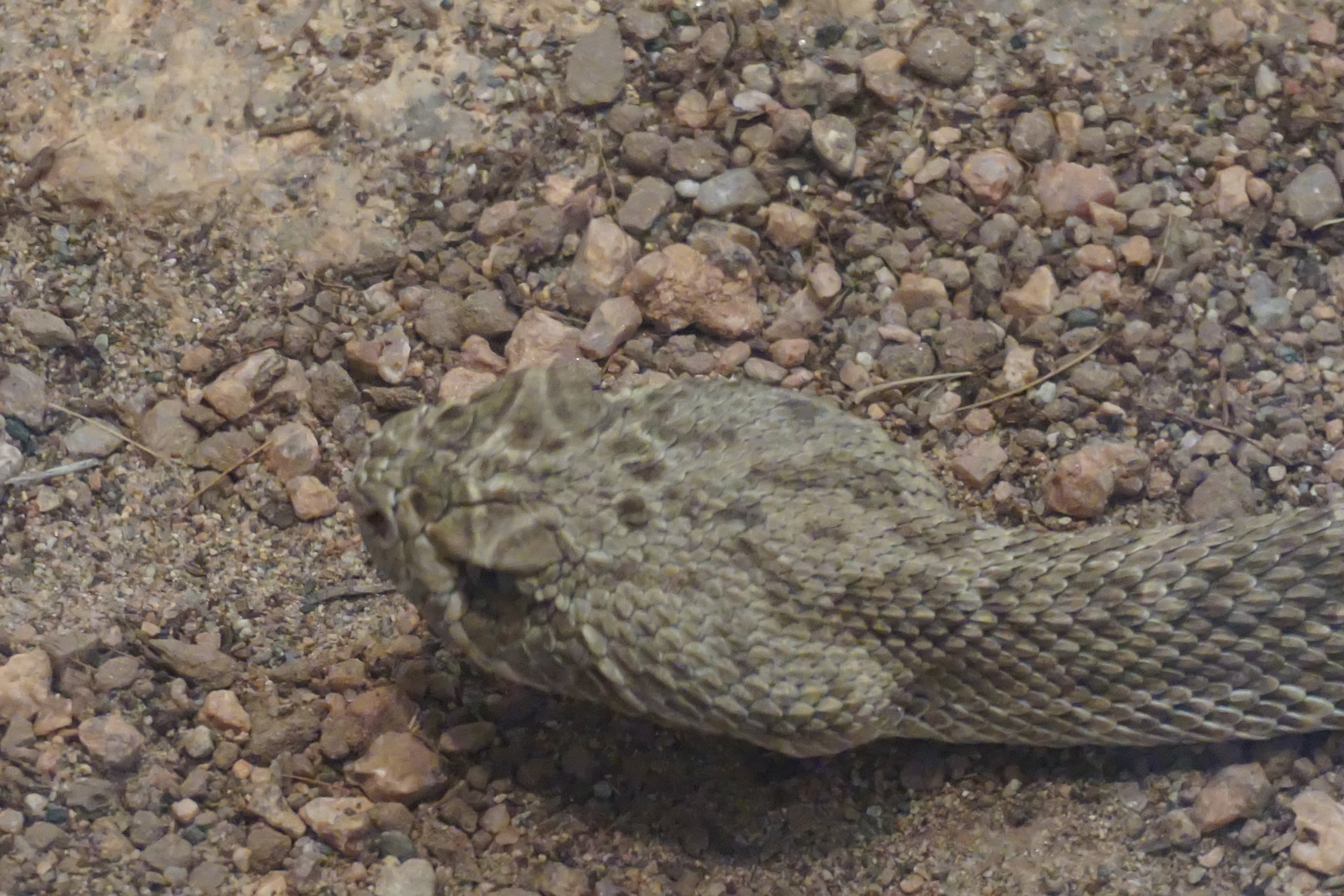
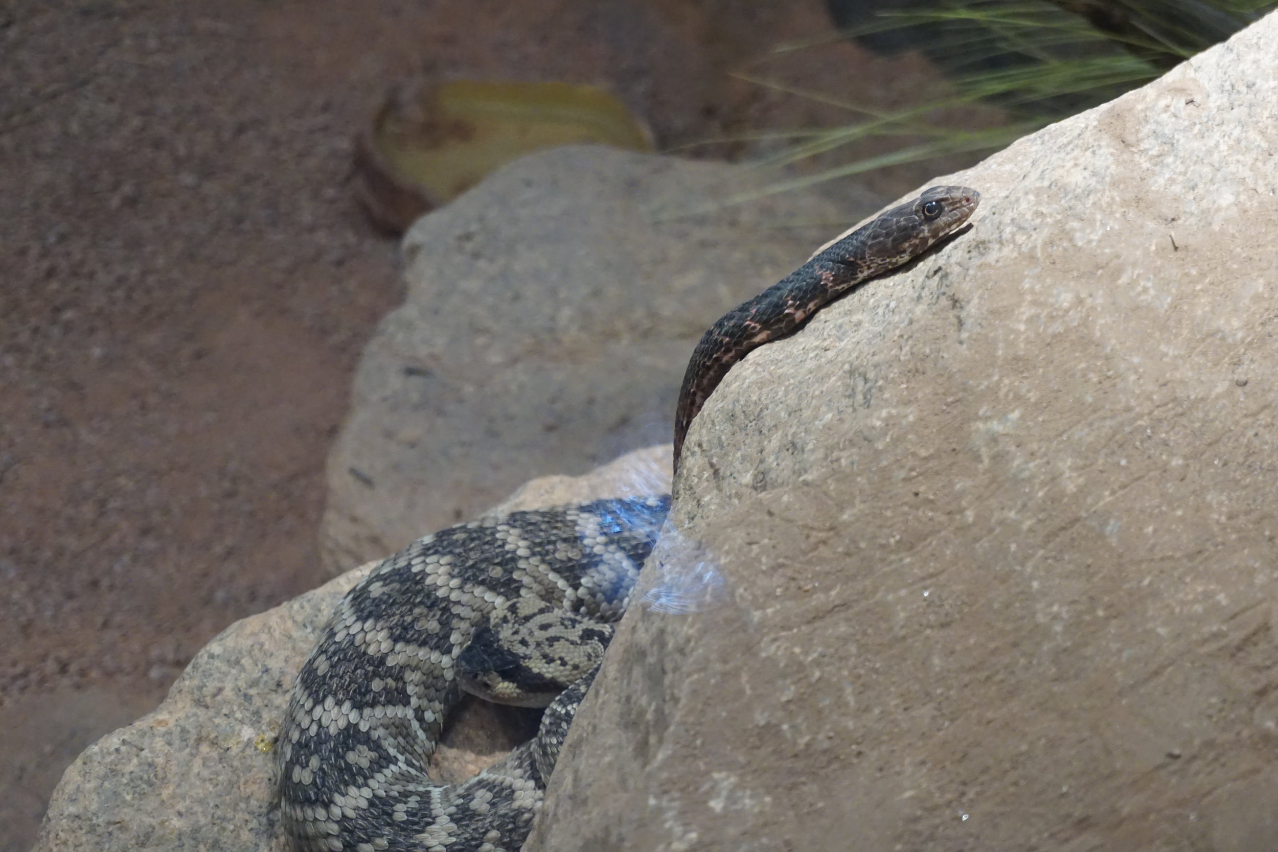
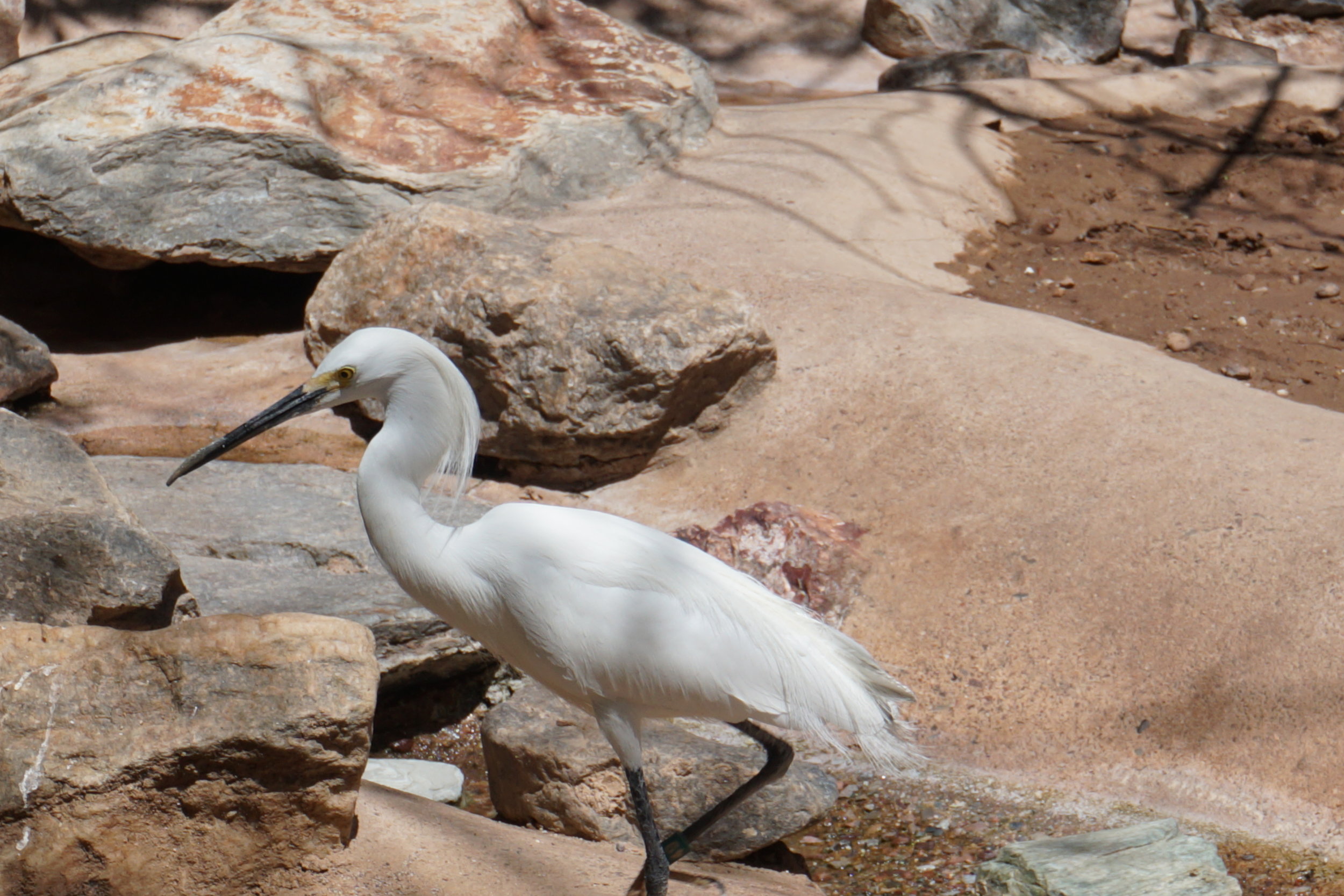
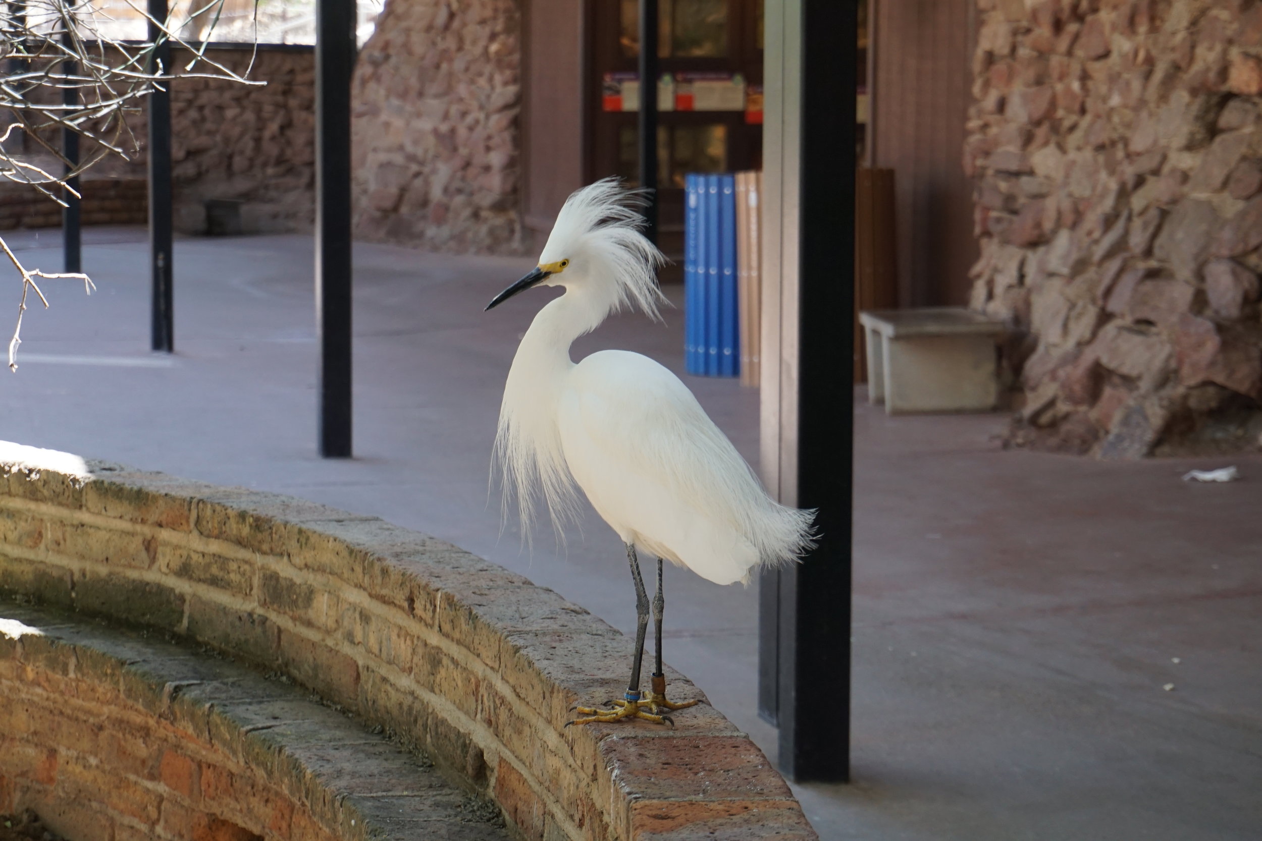
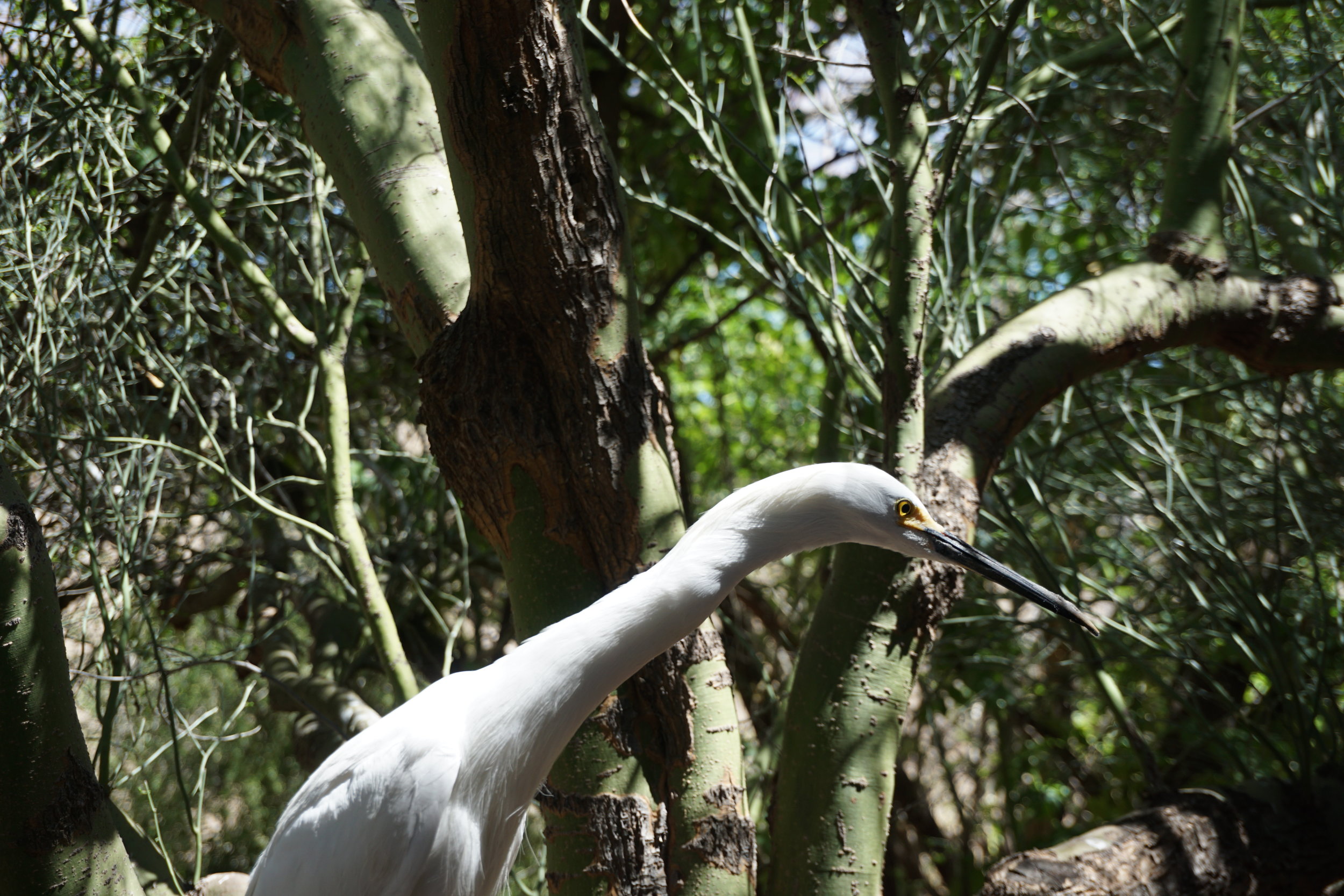
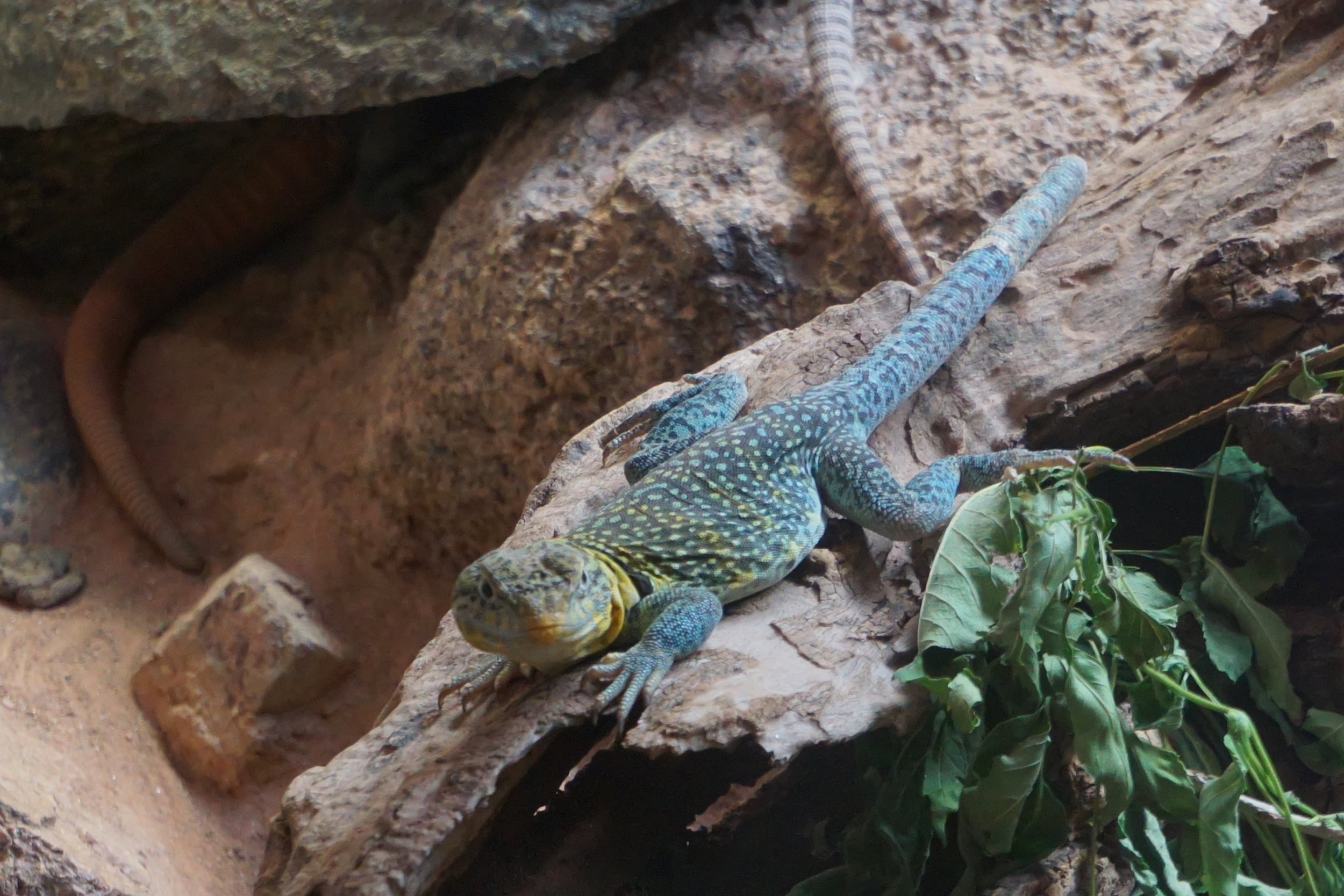
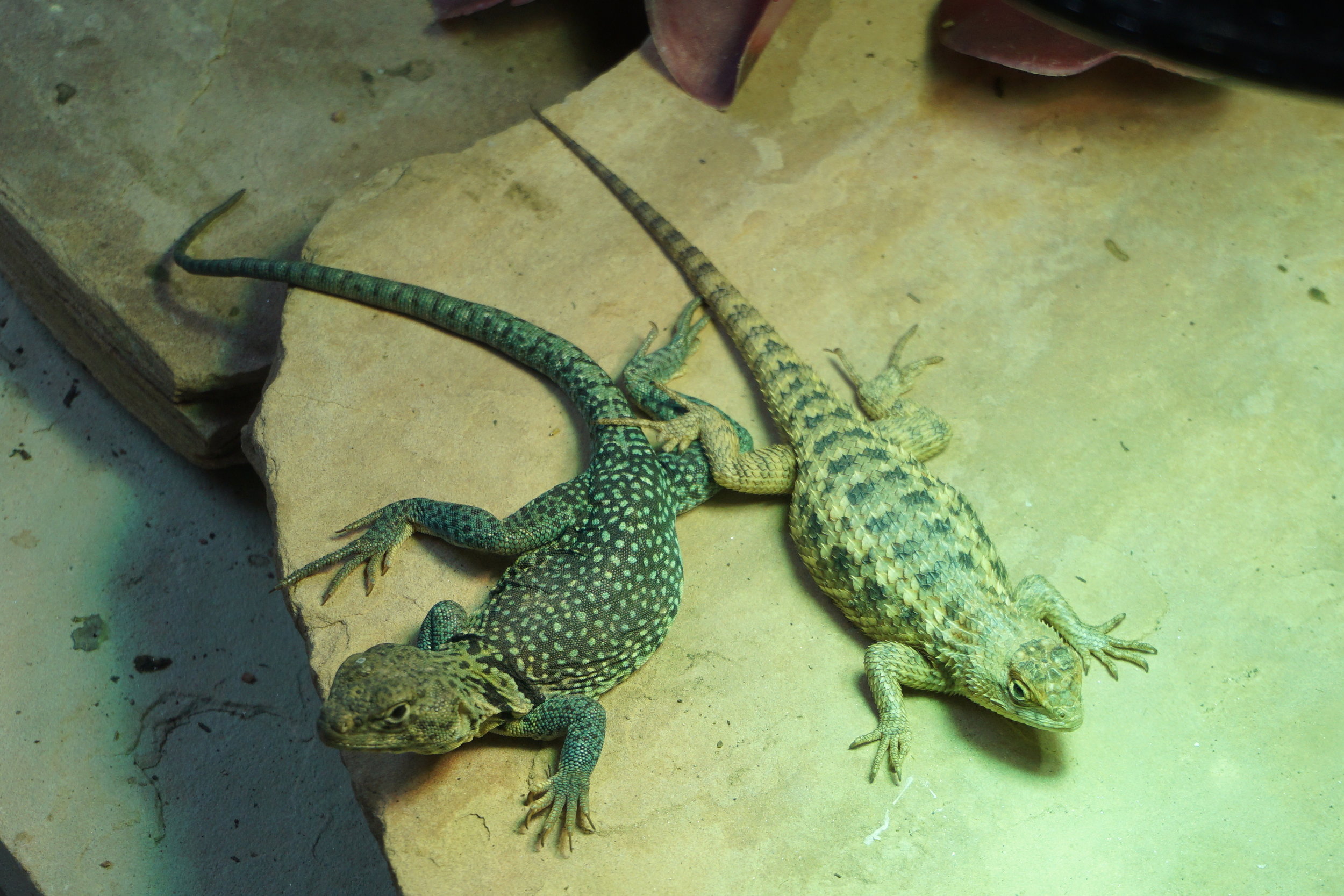
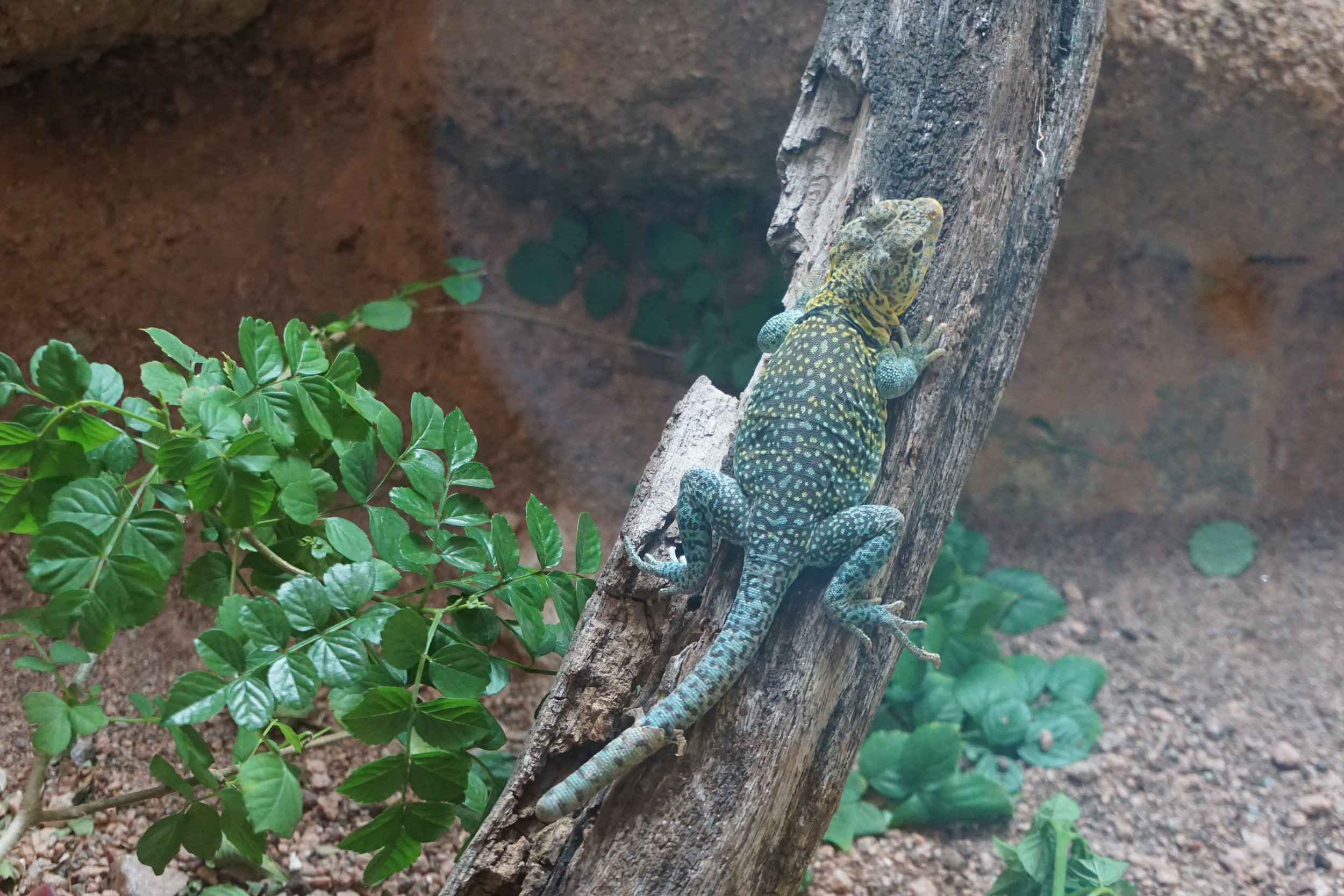
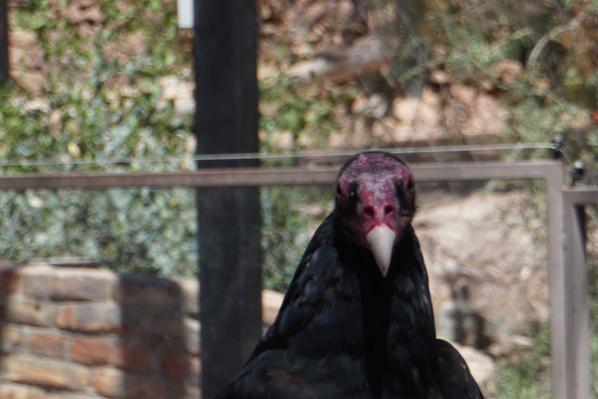
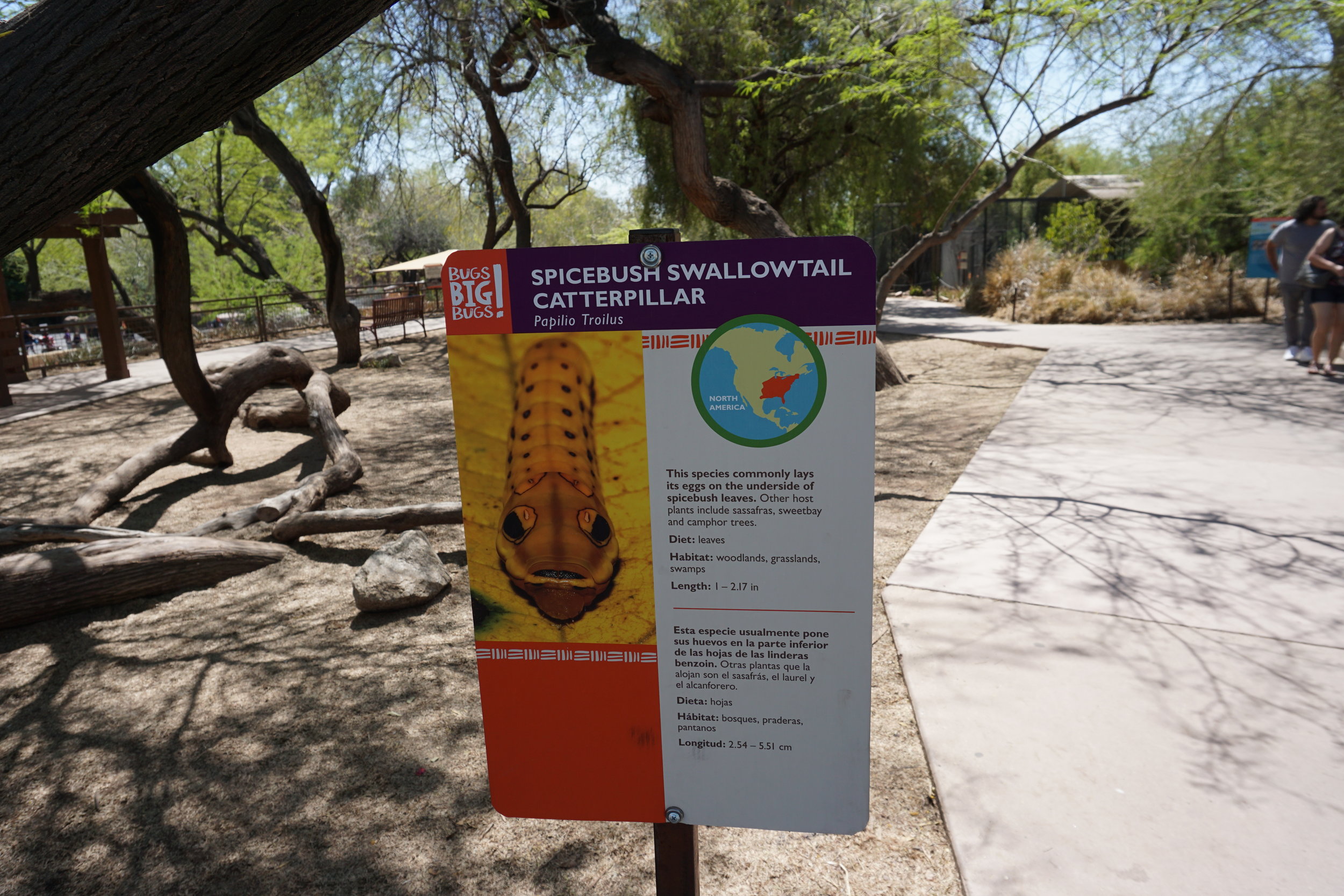
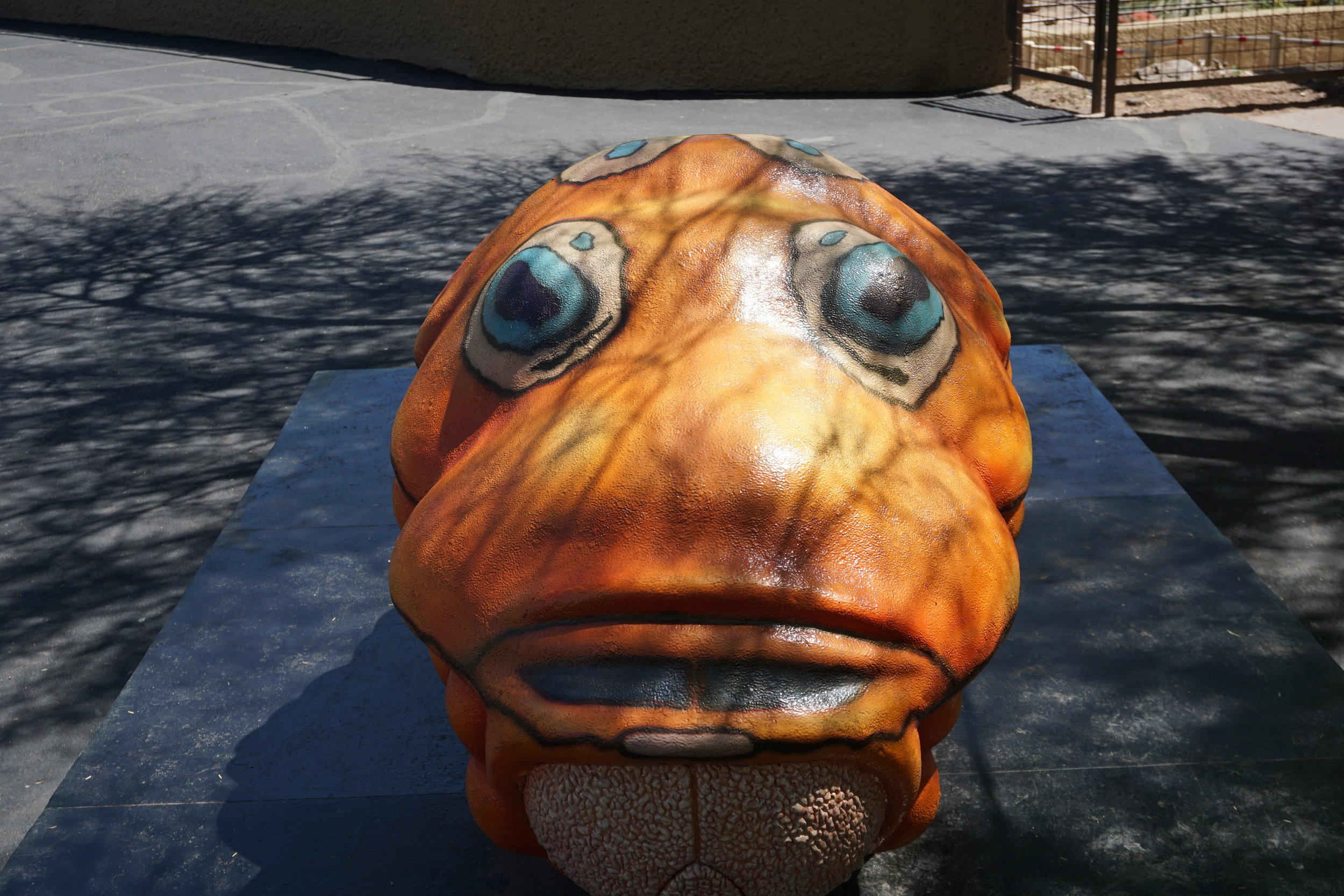
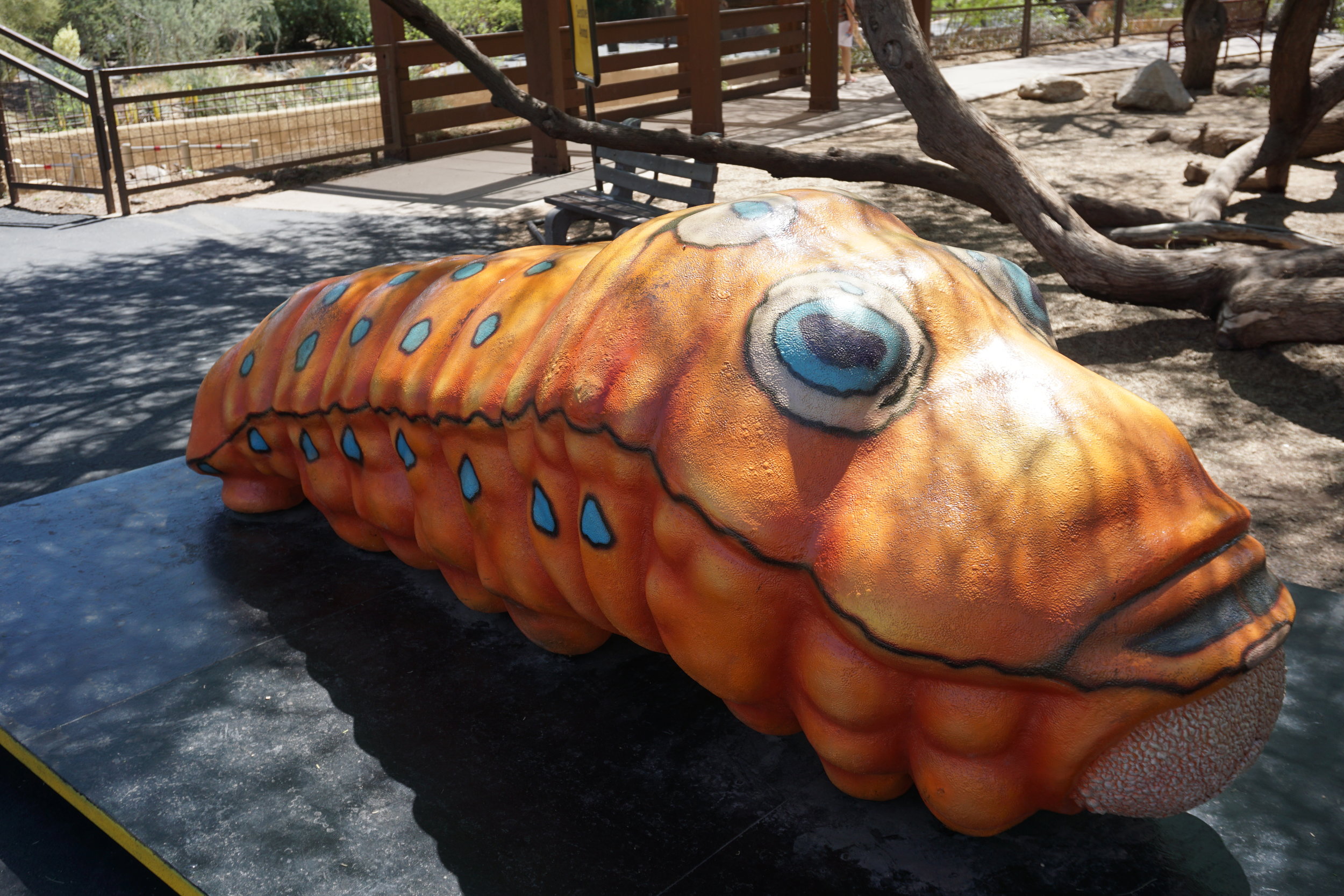
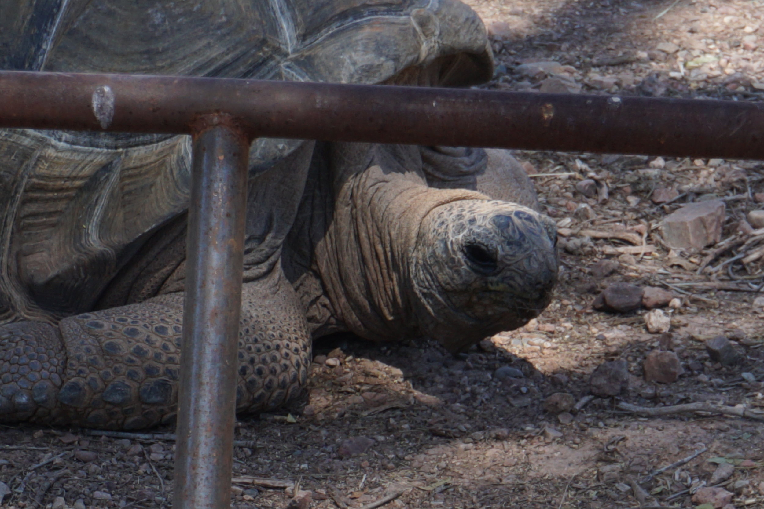
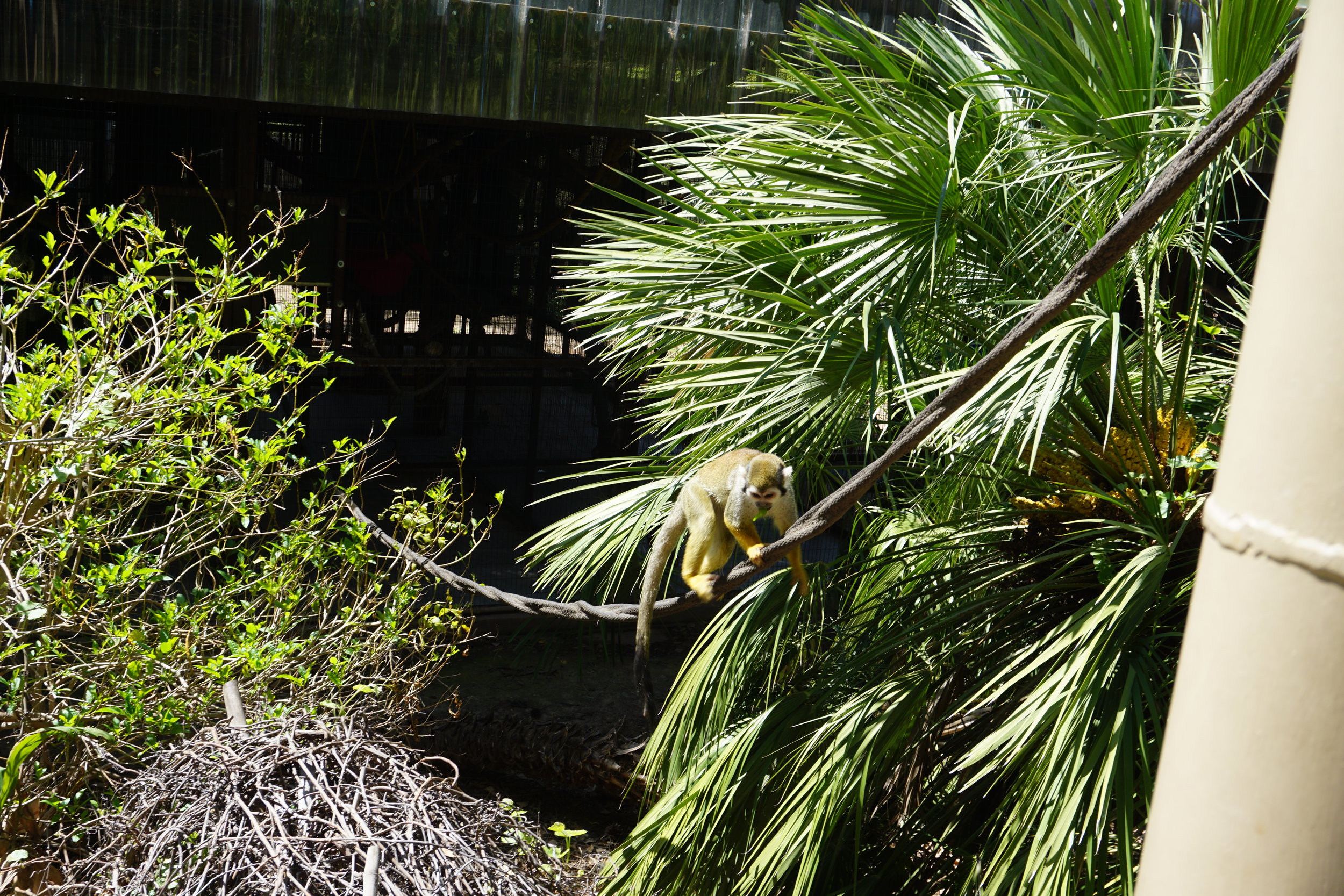
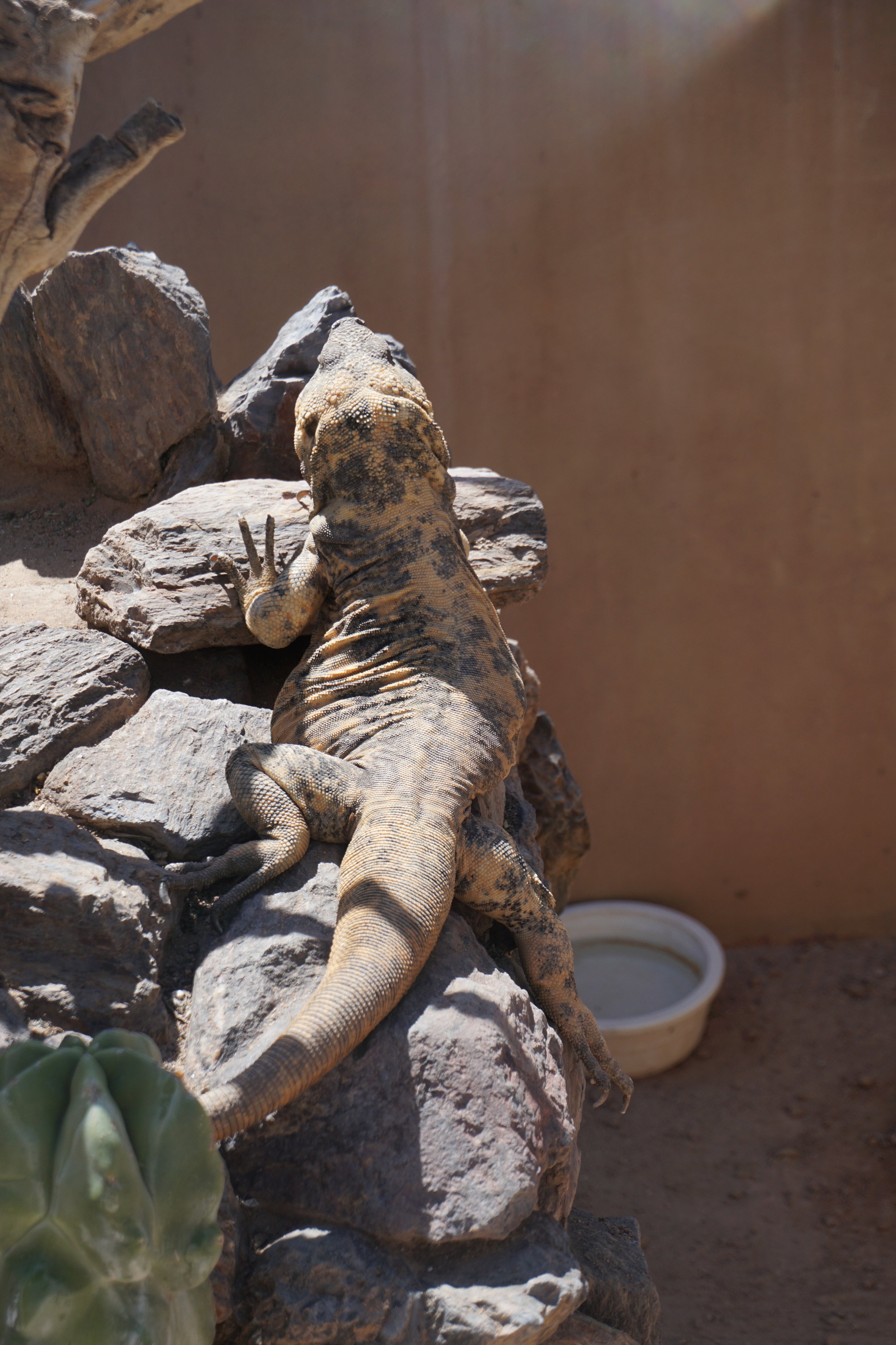
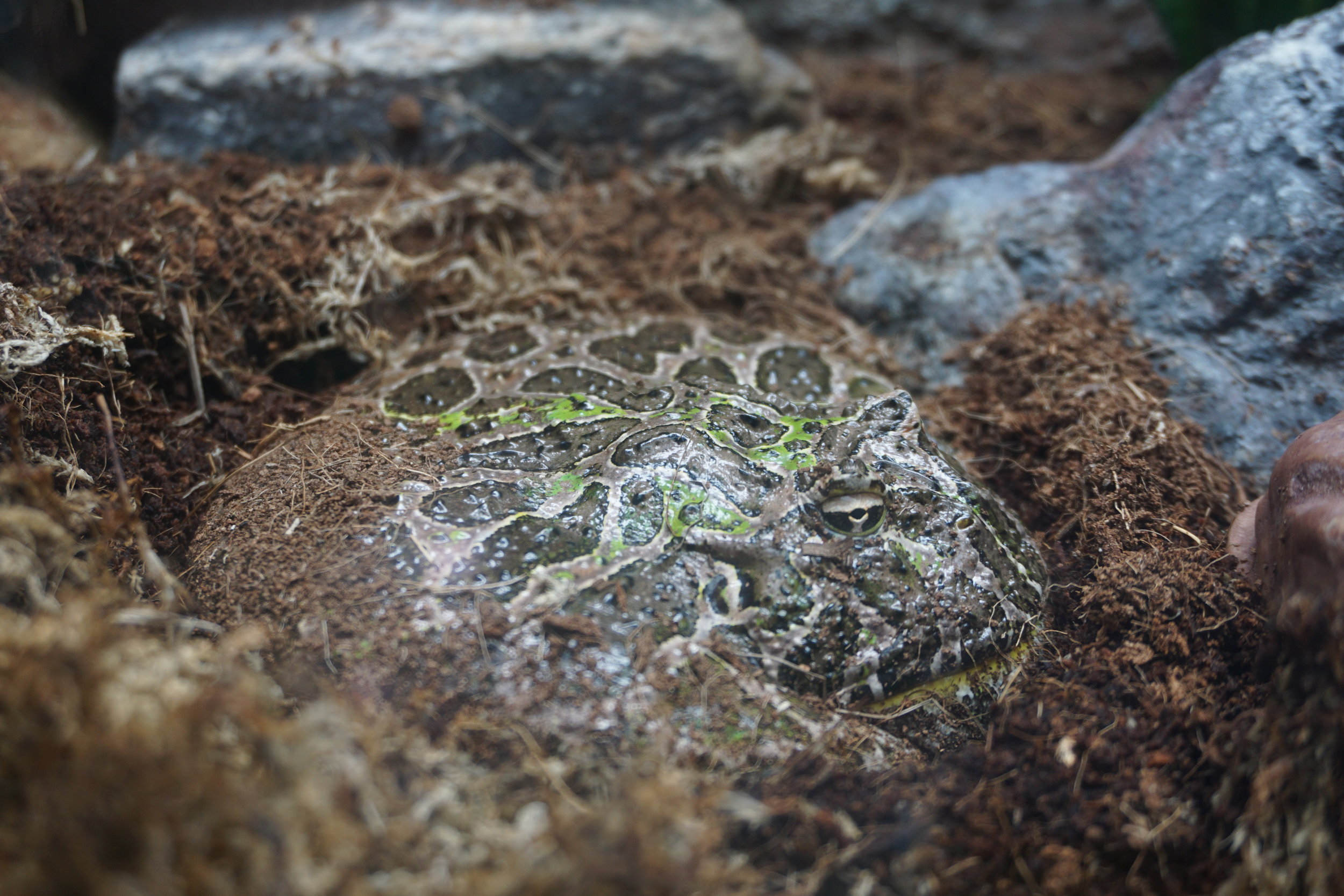
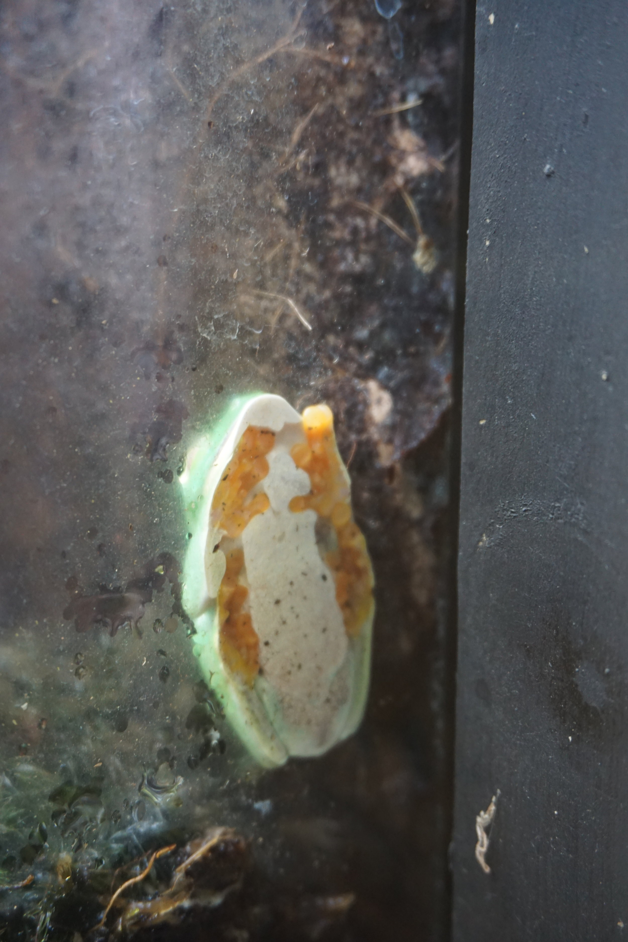
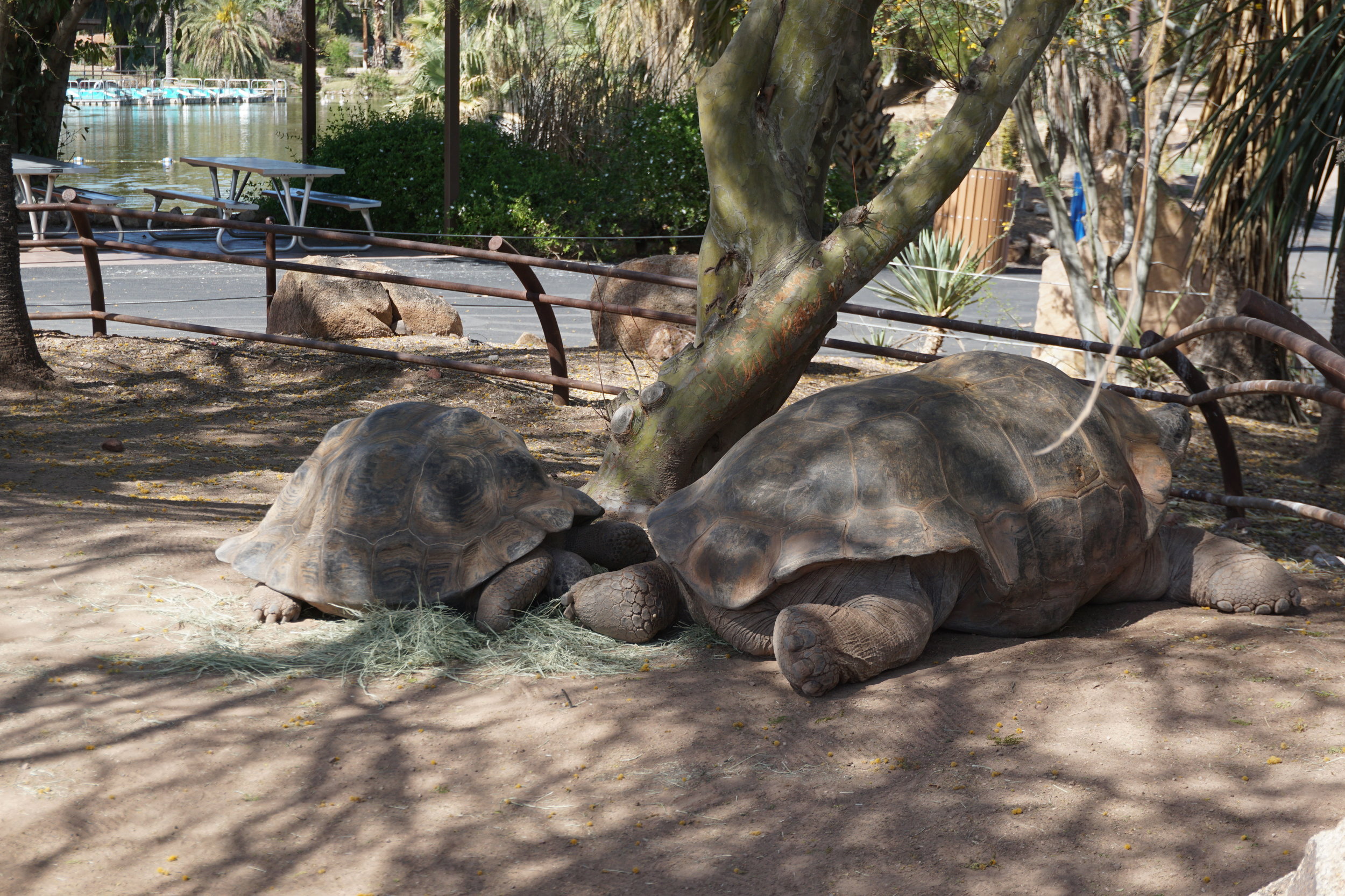
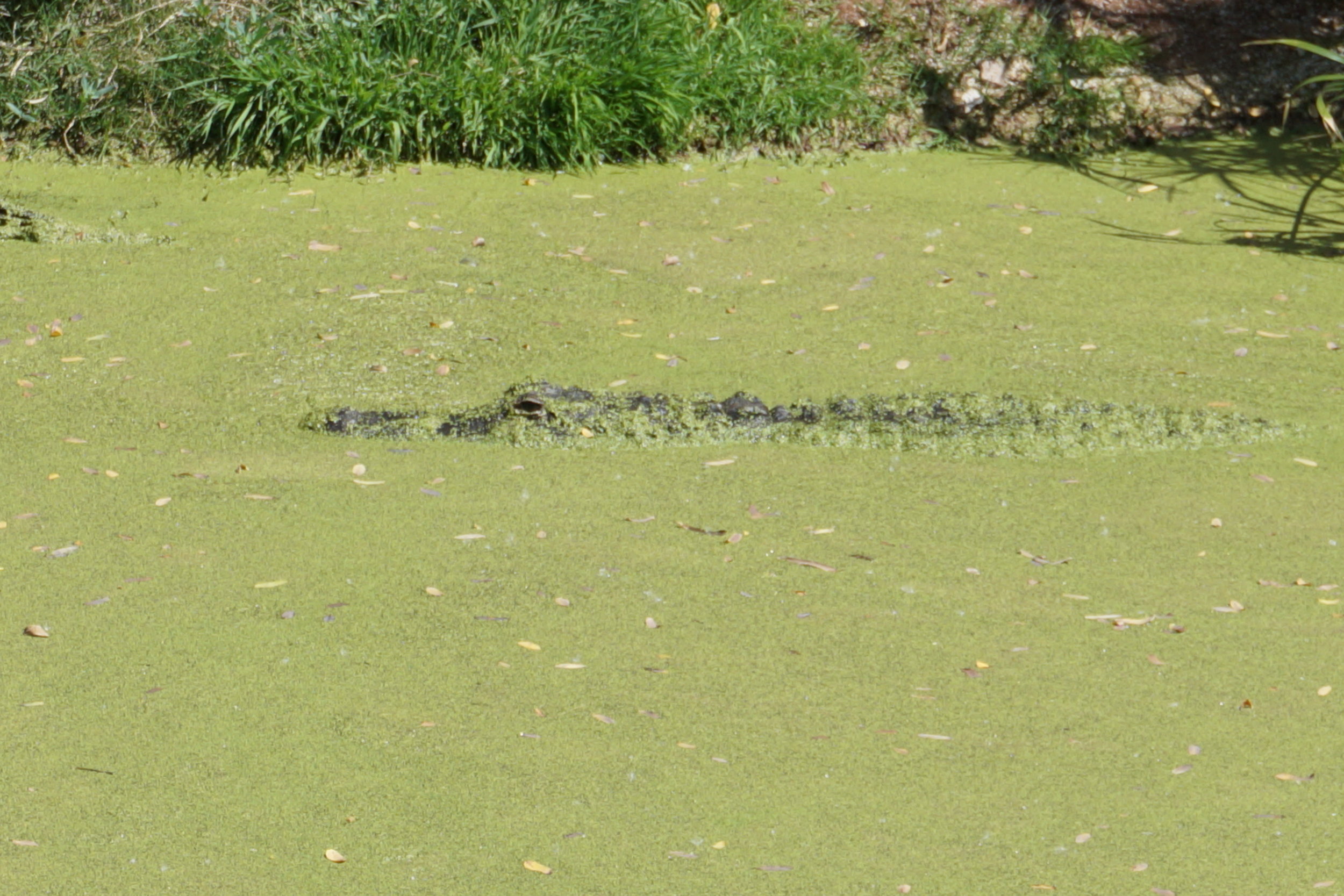
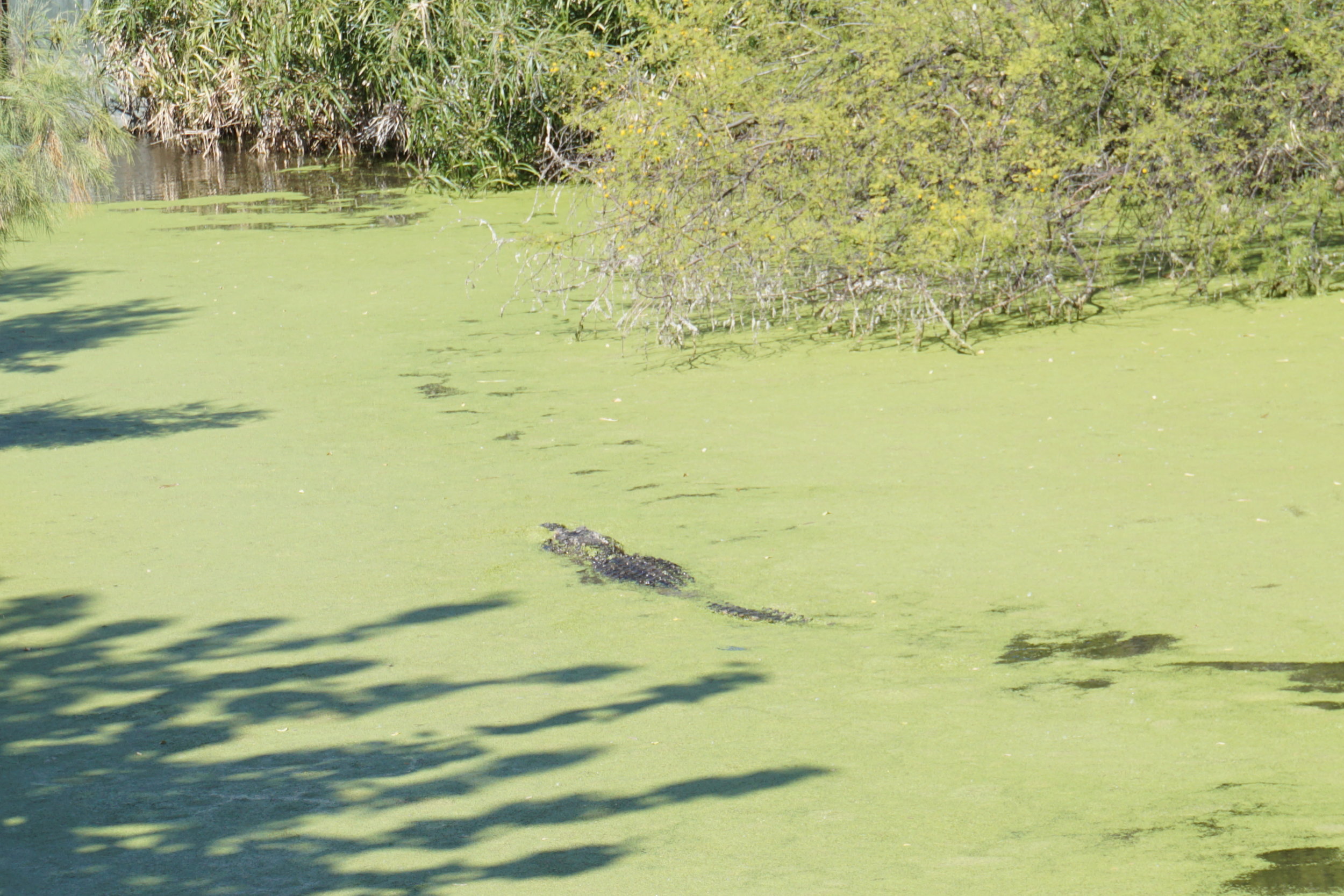
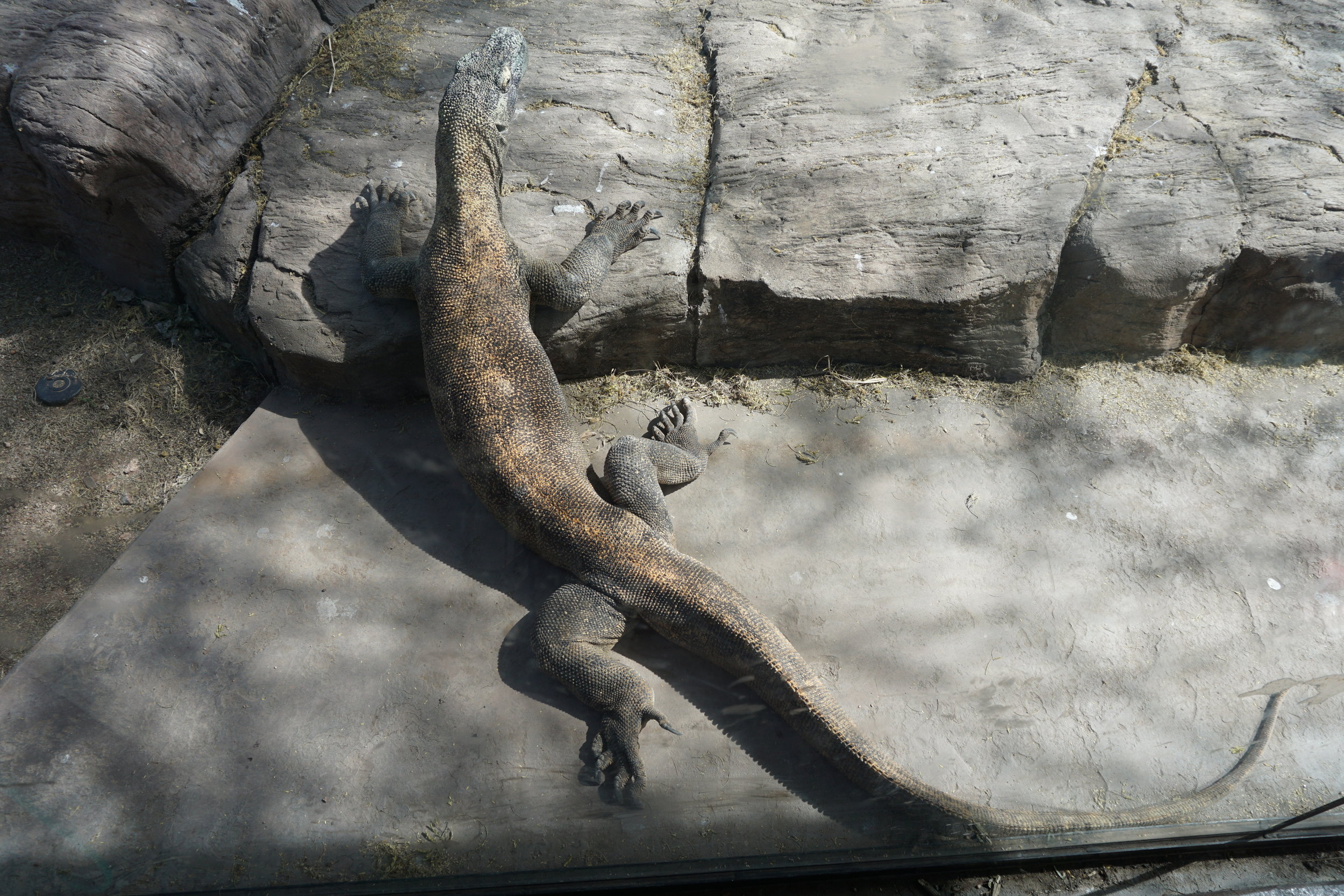
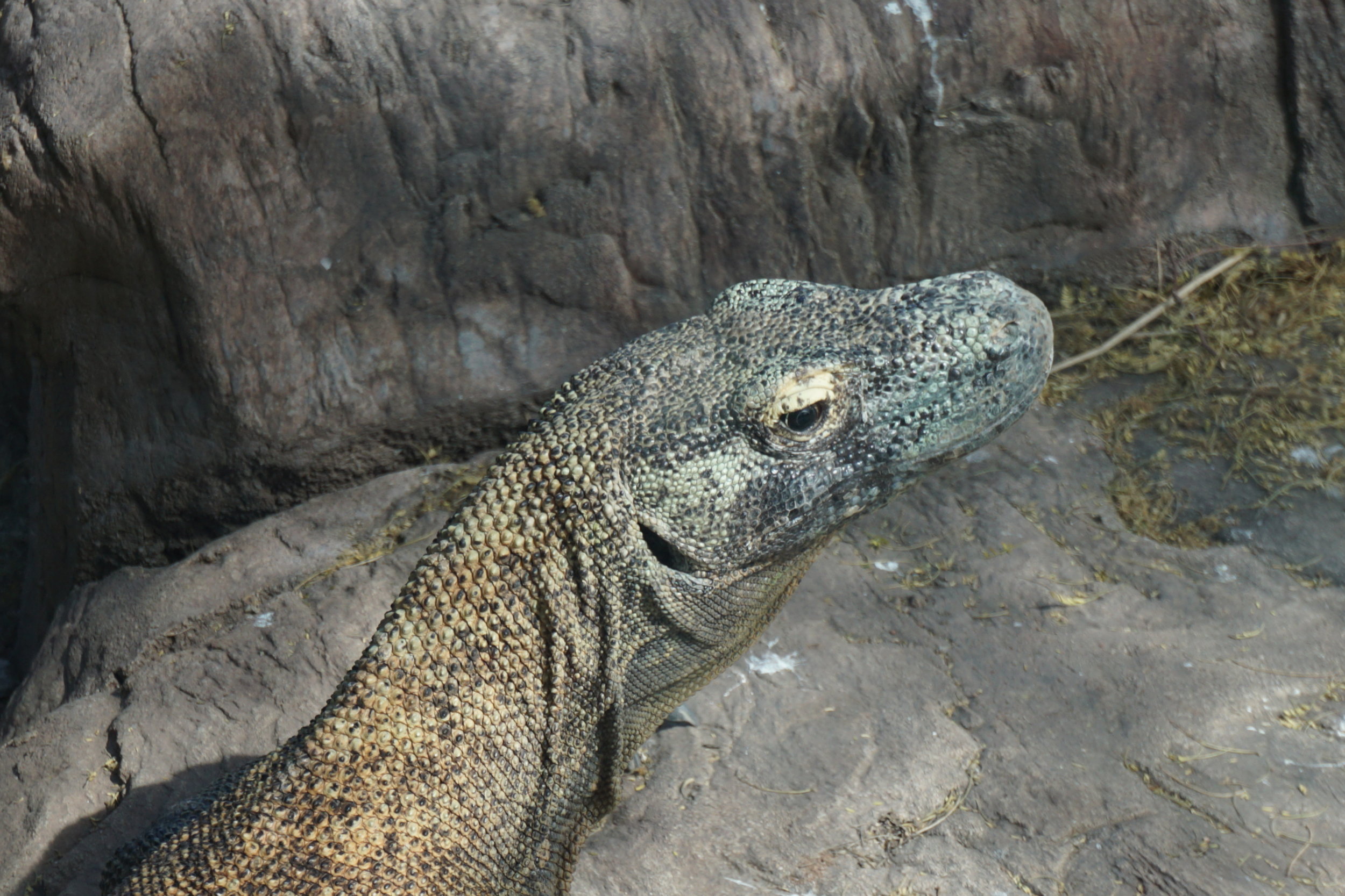
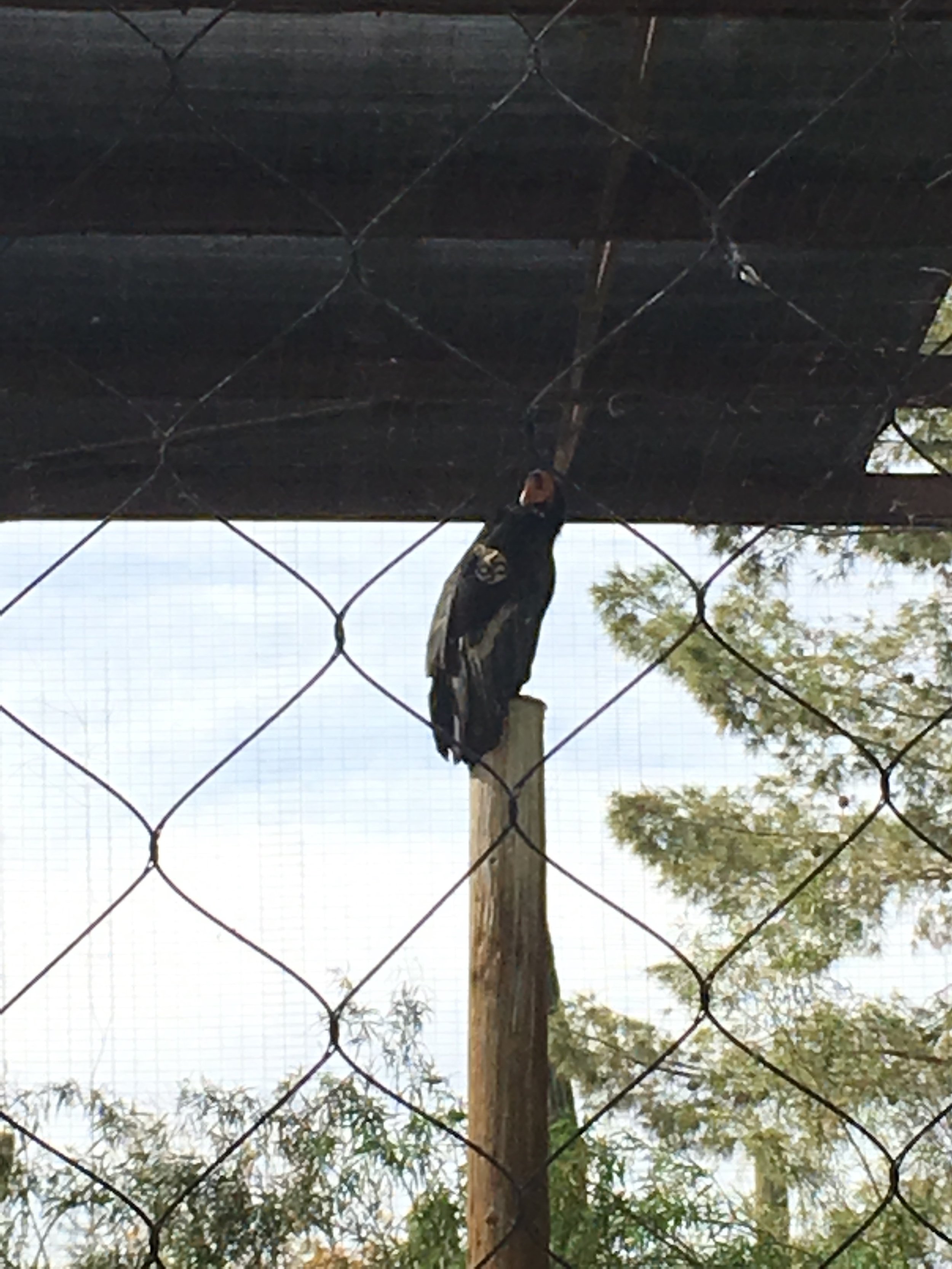
Our first “excursion” was to the Phoenix Zoo. We’d never been and we got a 2-fer by using out Woodland Park Zoo membership cards. It’s heavy on desert fauna, no surprise.


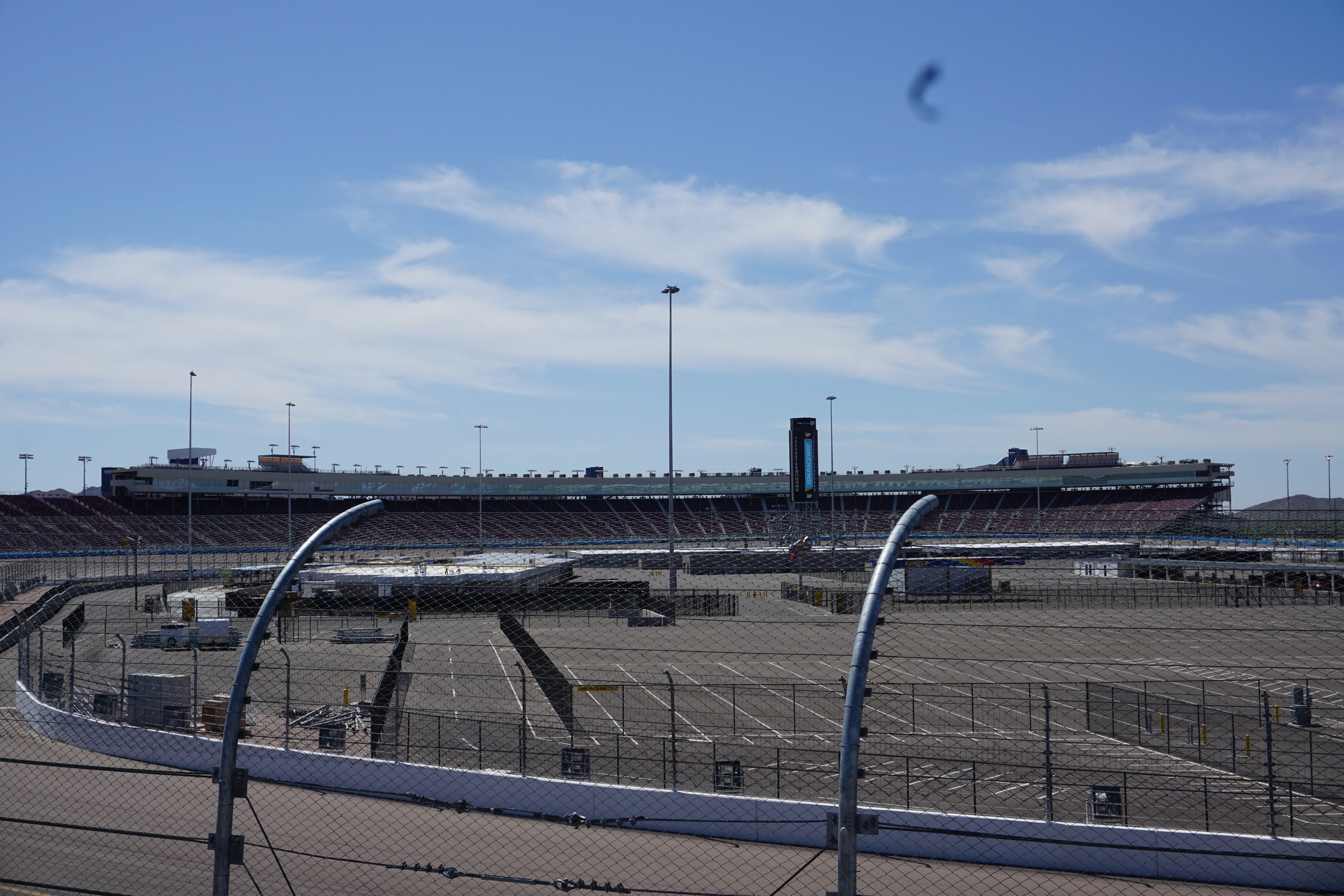
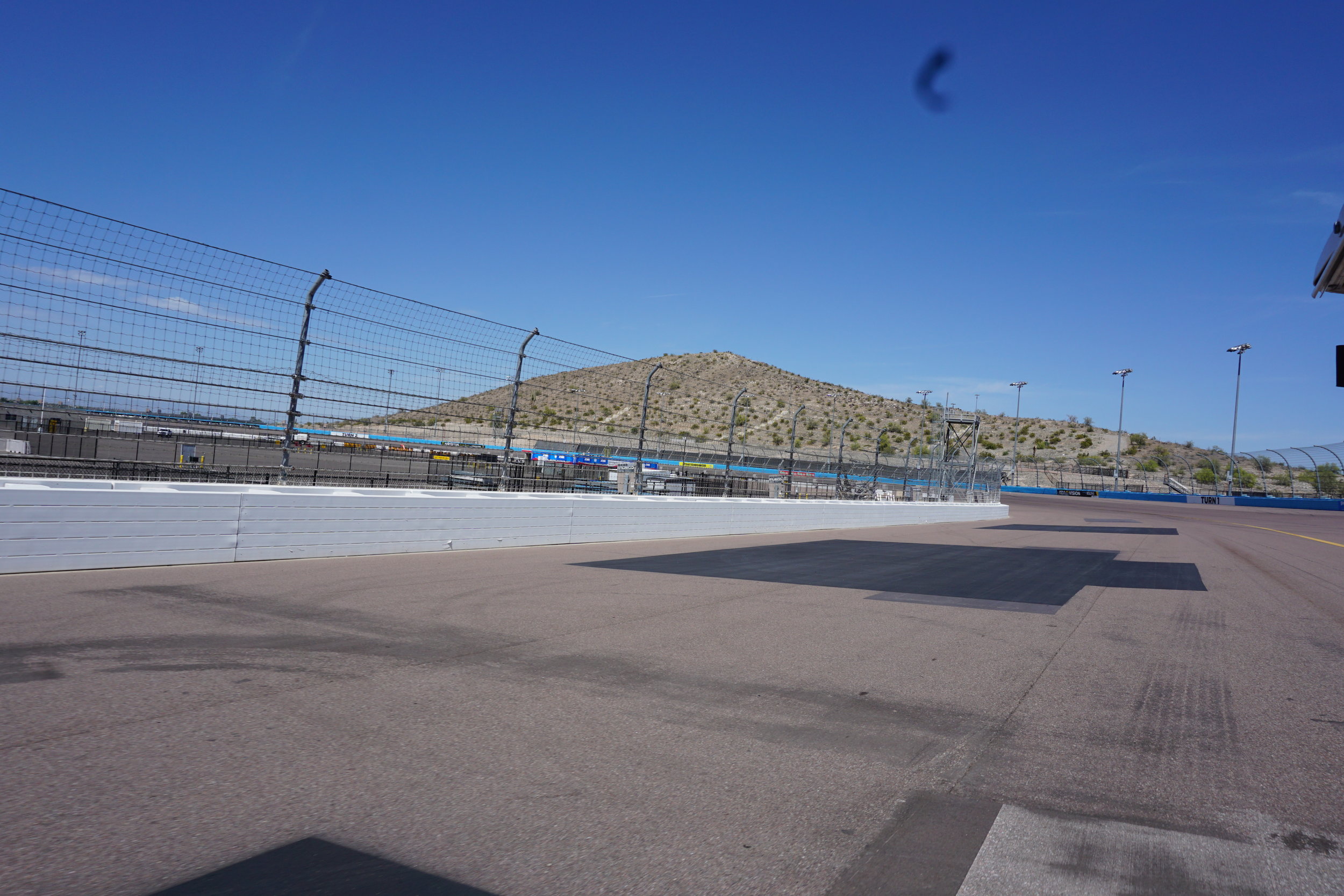
On our trips around the country we have adopted a habit of stopping at super speedways on our route for photos. Last year we tried to get to ISM speedway in Tolleson, on the southwest side of Phoenix. It was closed for reconstruction and we couldn’t get close. This time it was different. We pulled into the only open gate, one for maintenance access, that had a guard shack and the guard was nice enough to tell us that there was a new tour available. You could do a Segway tour for $80 or a golf cart ride for $40, the catch was we had to wait 20-30 minutes for the tour operators to return from lunch. Not a problem. When they returned we hopped into the cart and off we went. The guides conduct Segway tours in Colorado during the summer and the day we showed up was only the second day of their operations in Phoenix. They missed spring training but were going to do tours till some time in May and head back to Colorado before it gets too hot in AZ. It’s a neat tour. Cathy’s cousin’s boyfriend volunteers at the races and hadn’t done the tour yet.
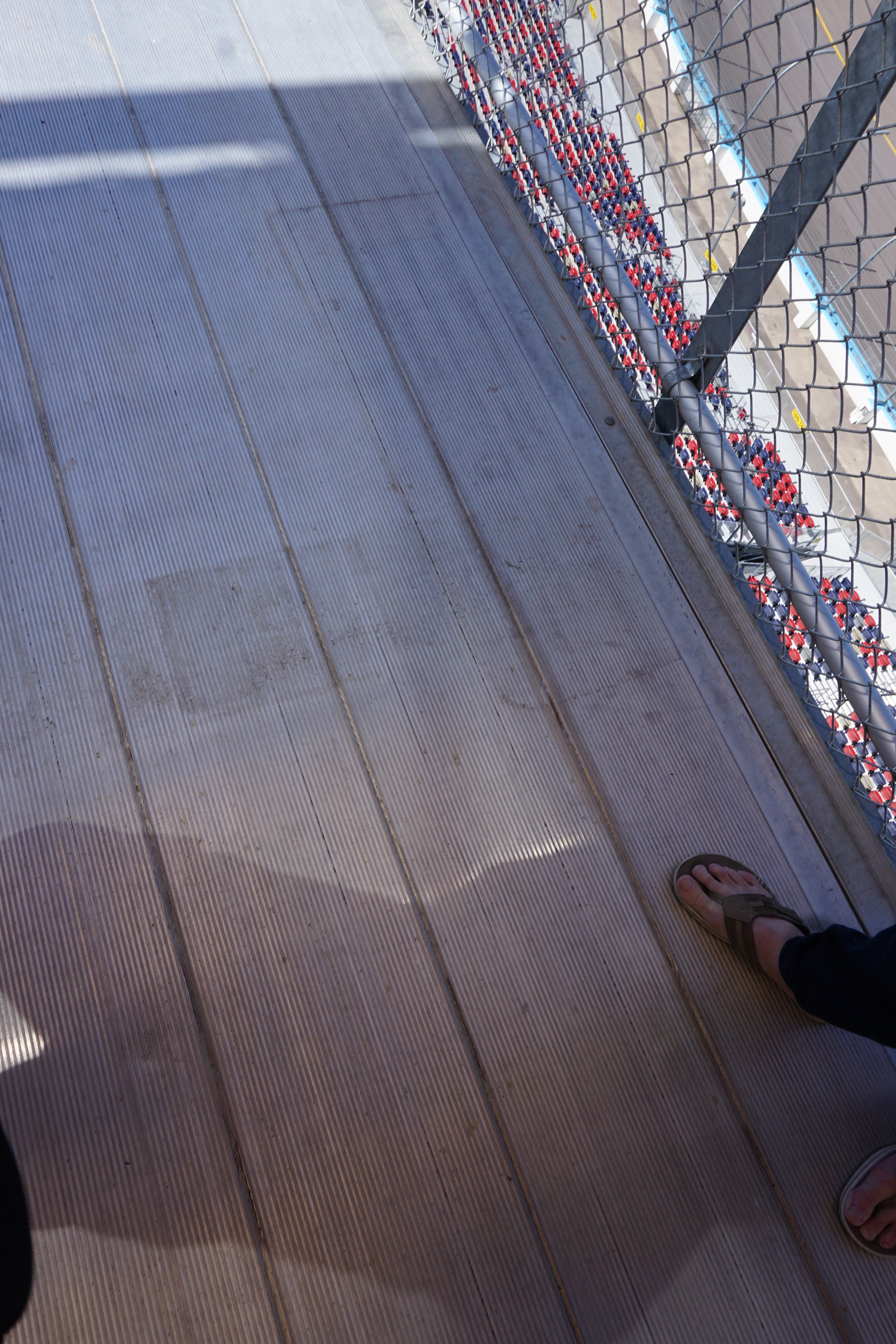
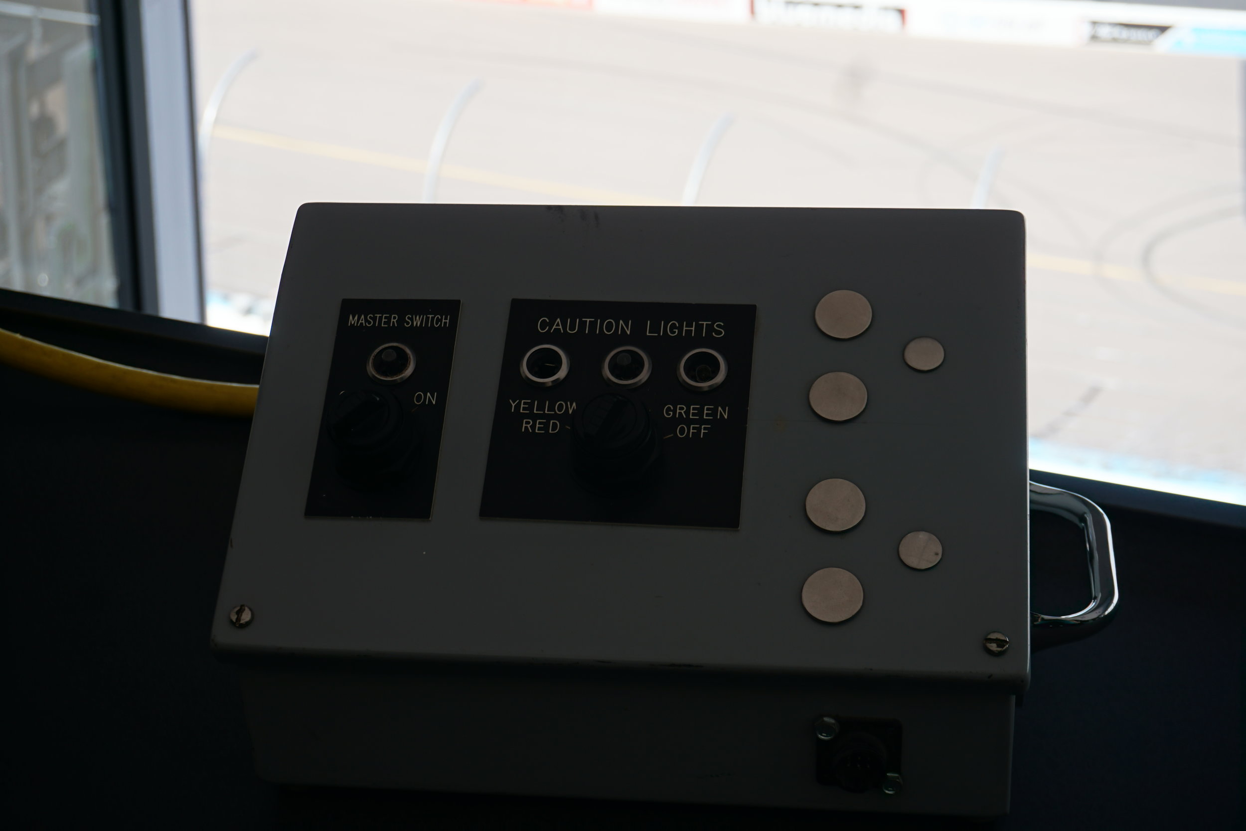
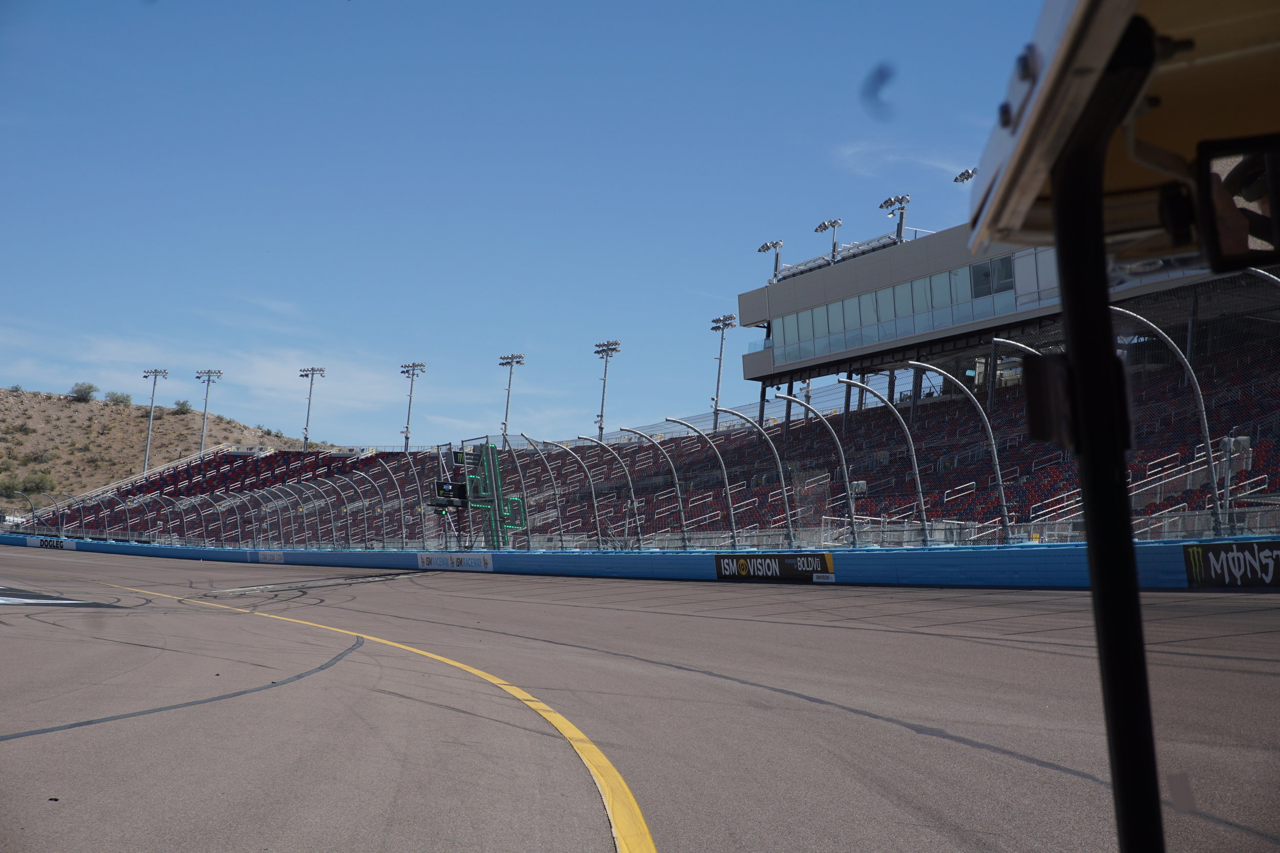
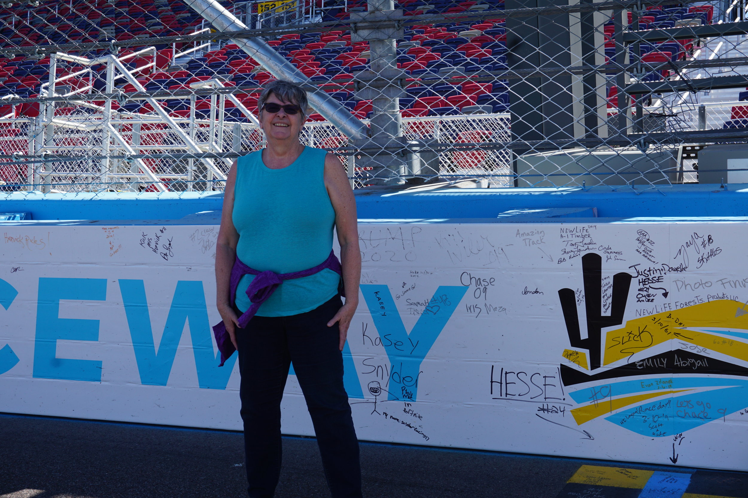
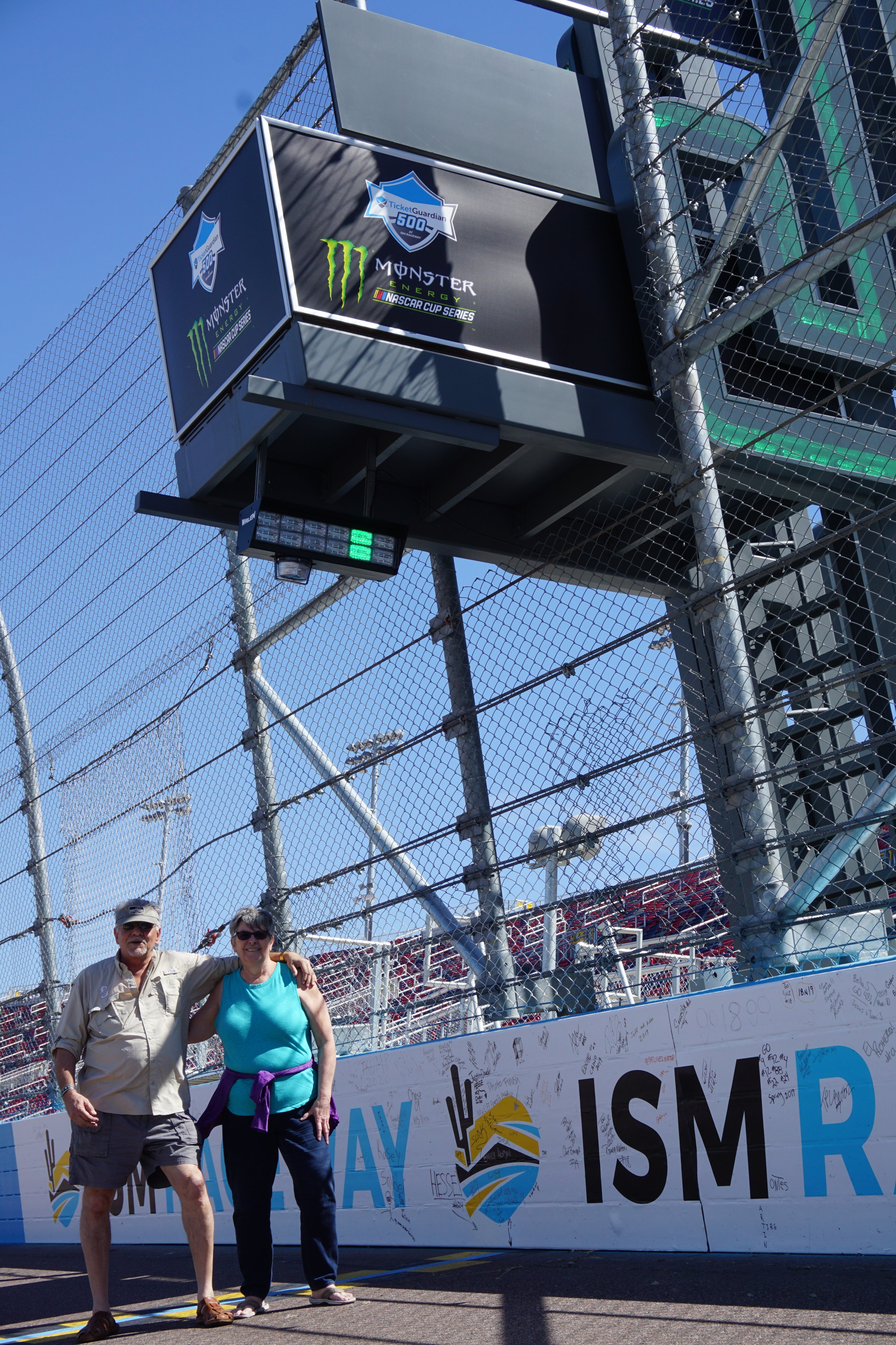
It’s a good tour. You get access to the press box, the track marshal’s office where the switches that control the red, yellow and green lights for racing are located. You get to ride all around the track, through the paddock and infield, and, at the end of the tour, get to sign your name on the start/finish line. Black marker for the yellow and a silver one for the black squares. I signed black and added the comment that this was the slowest I’ve ever been around a track. There is a strange mark on many of the photos. Not sure what caused it. There are shots with it and ones immediately after without it. I’ve cropped it out of some but decided to not spend the time on all of them.
After the tour we needed some lunch so, off to Google Maps and Yelp to find a nearby local, hopefully family-owned restaurant. We struck gold, maybe silver, again. The track is at the end of Avondale Road, just west of the 101 off of I-17. W. Buckeye Road is a little more than a mile south of I-17 and about 3/4 of a mile east of Avondale, on Buckeye is Mariscos Las Playitas. It’s a small Mexican seafood place with excellent food. As a clue to it’s authenticate preparations, construction workers were stopping by on their way home, it was late in the afternoon, to pick up take-away for home dinners. This is the first place we’ve experienced Aquachile sauce. It’s made from Serrano peppers and lime juice and the shrimp was cervice prepared. I had a Mariscos Rellenos, shrimp stuffed with cheese, wrapped with a jalapeno, dipped in batter and deep fried. Both were excellent. If you do a tour or are looking for lunch on the west side of Phoenix check this place out. You won’t regret it.

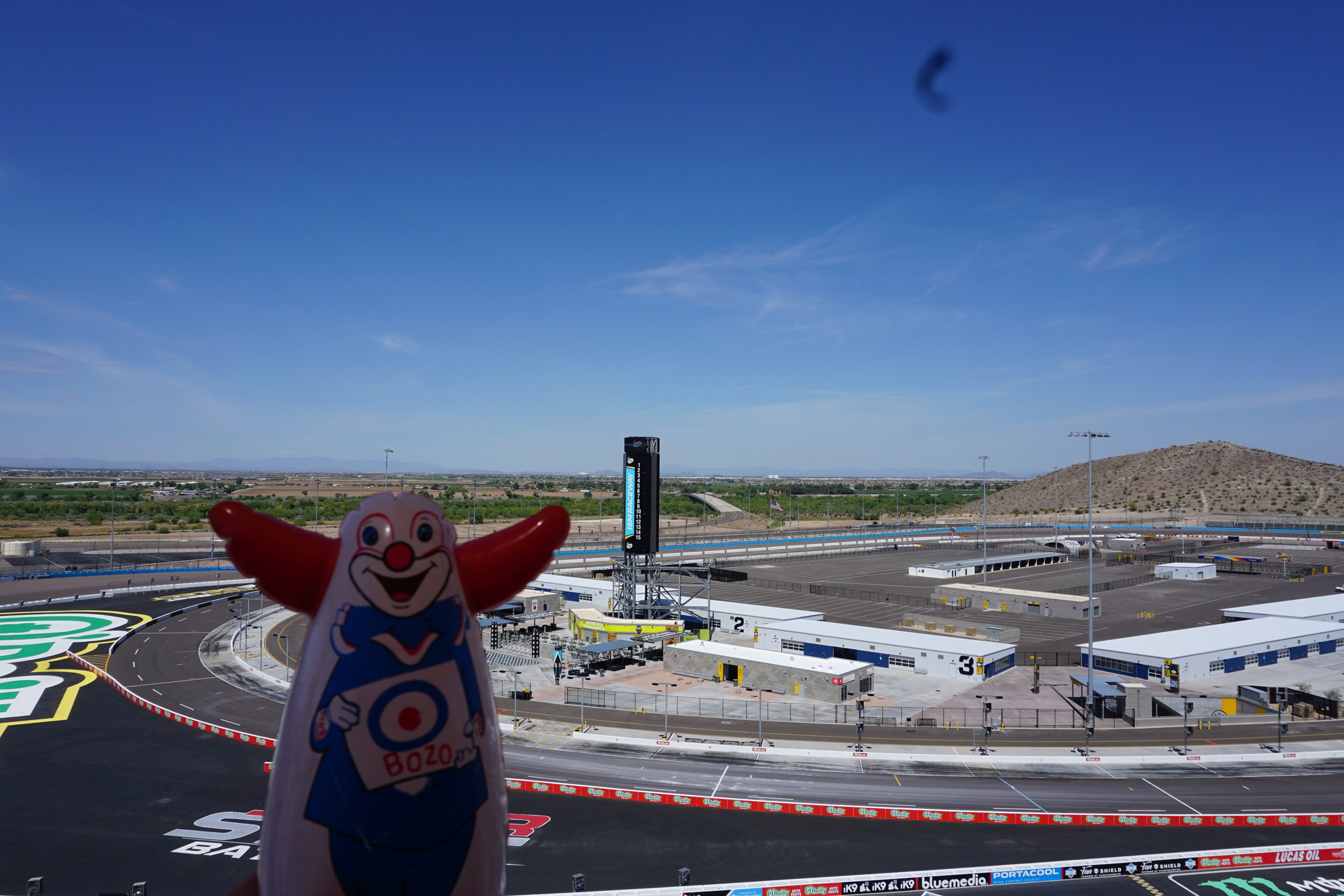
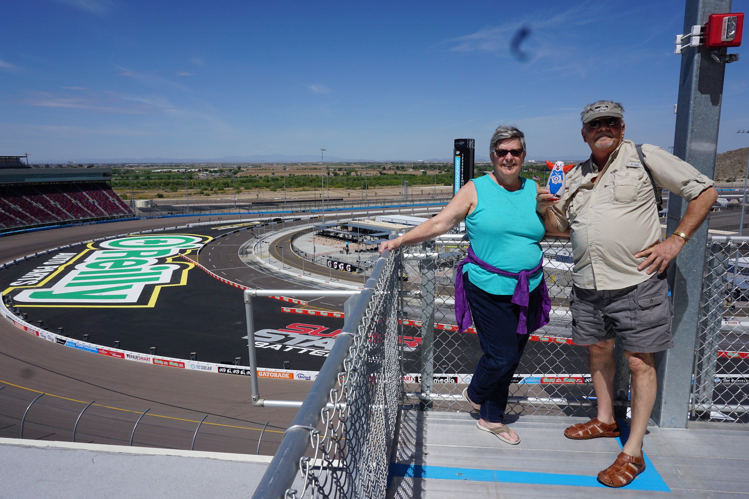
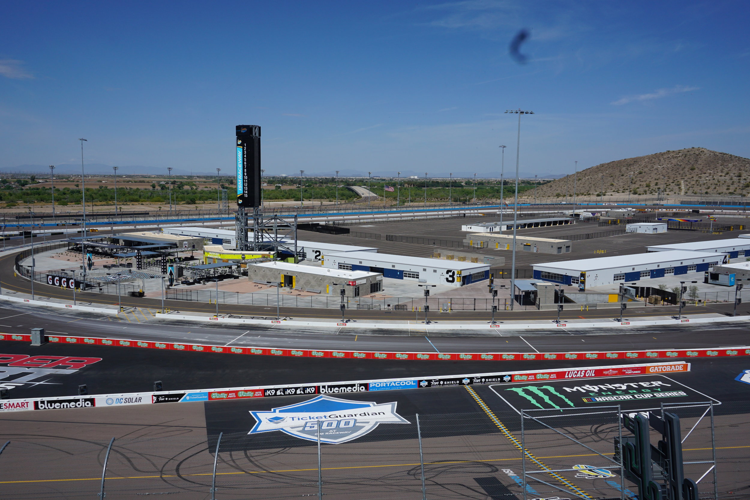
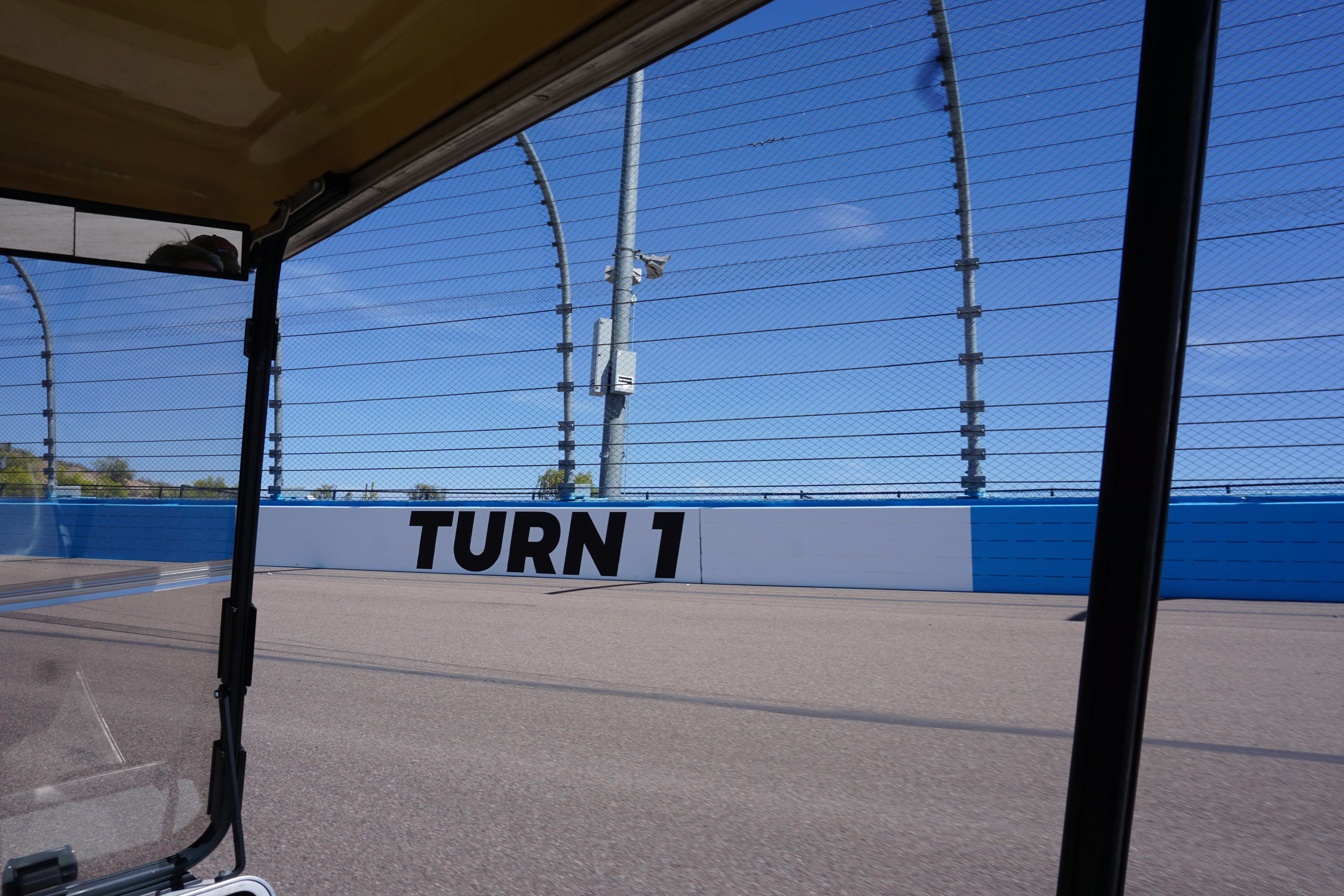
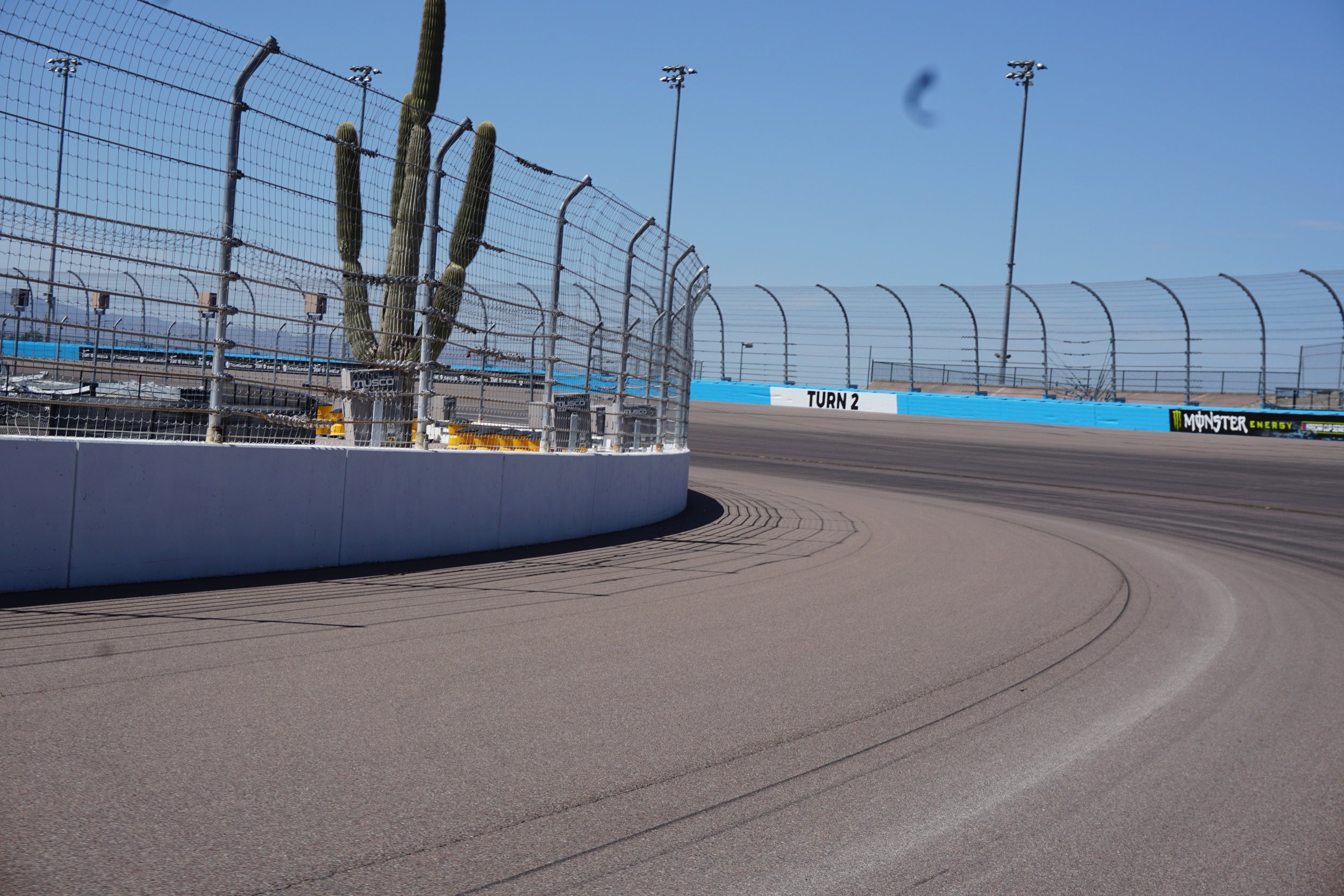
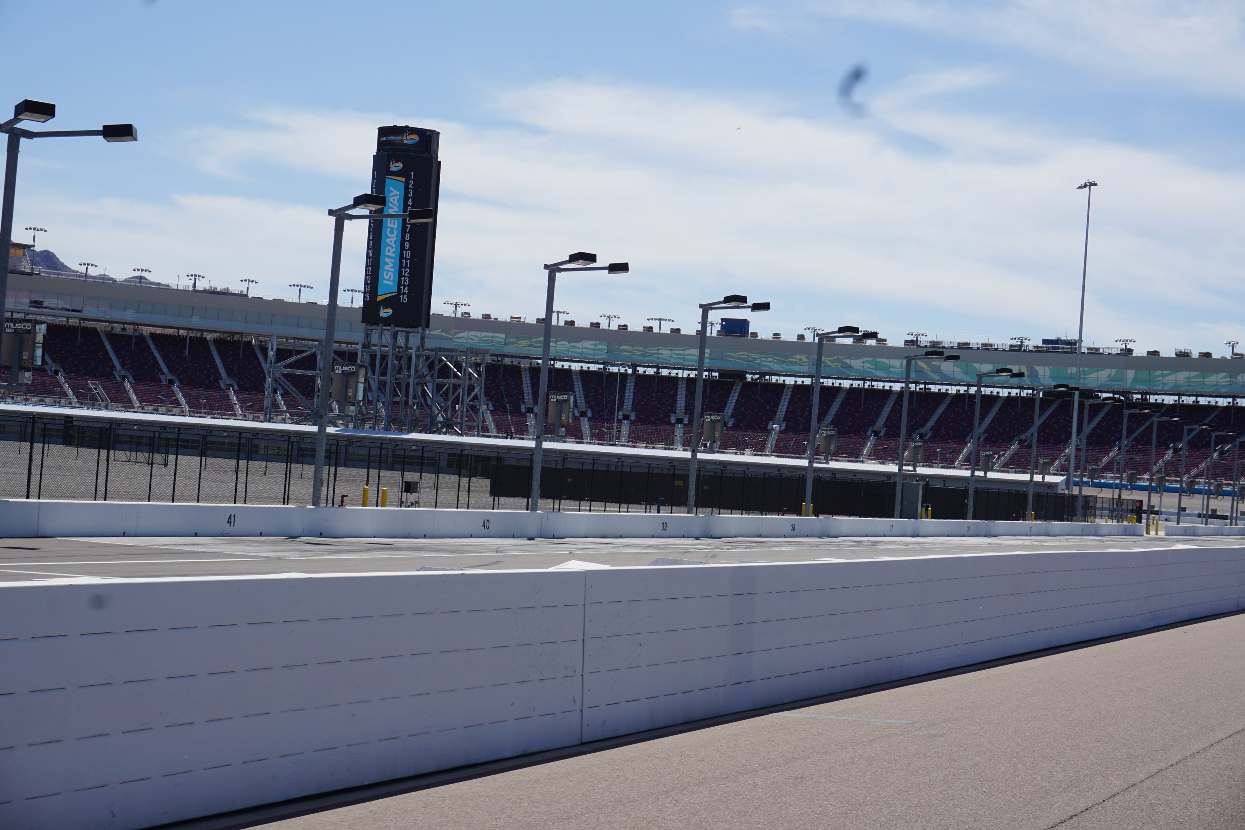
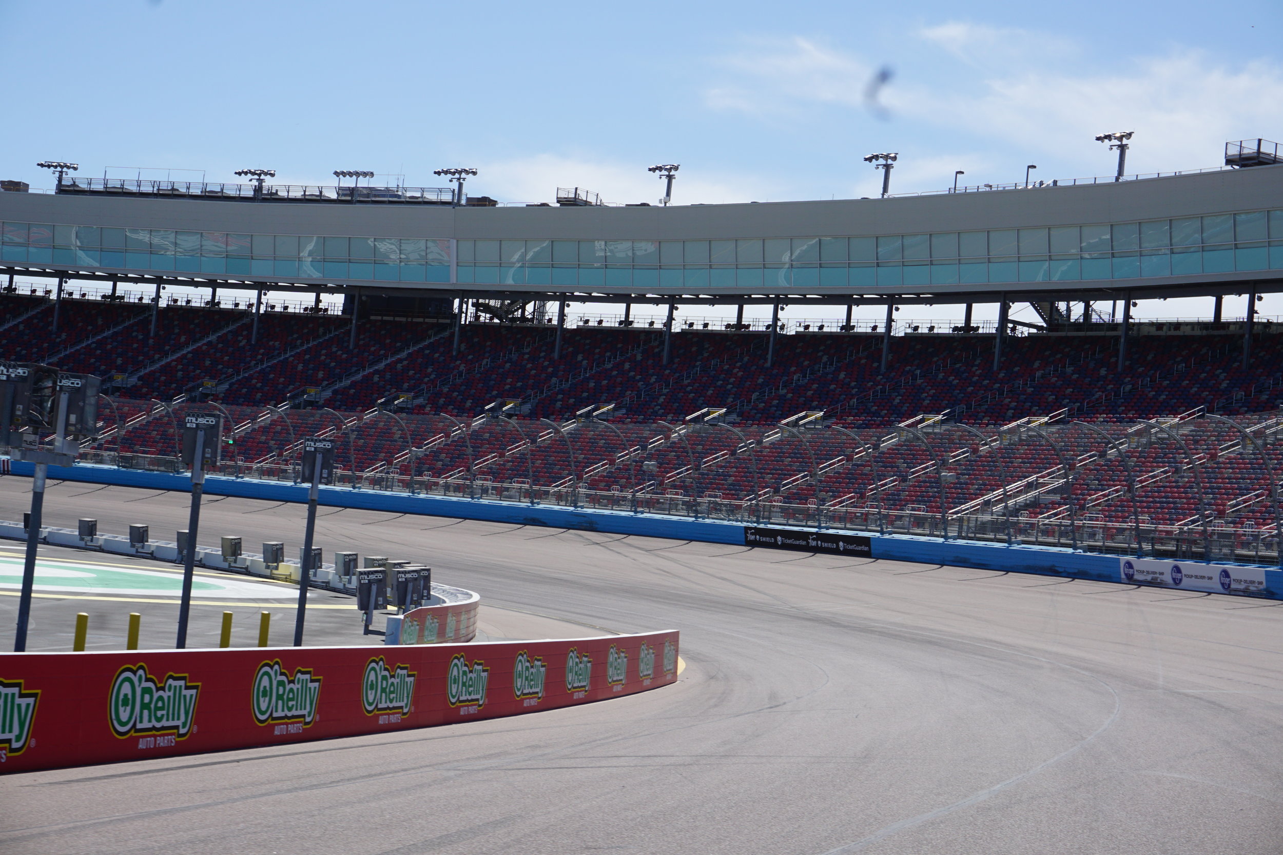
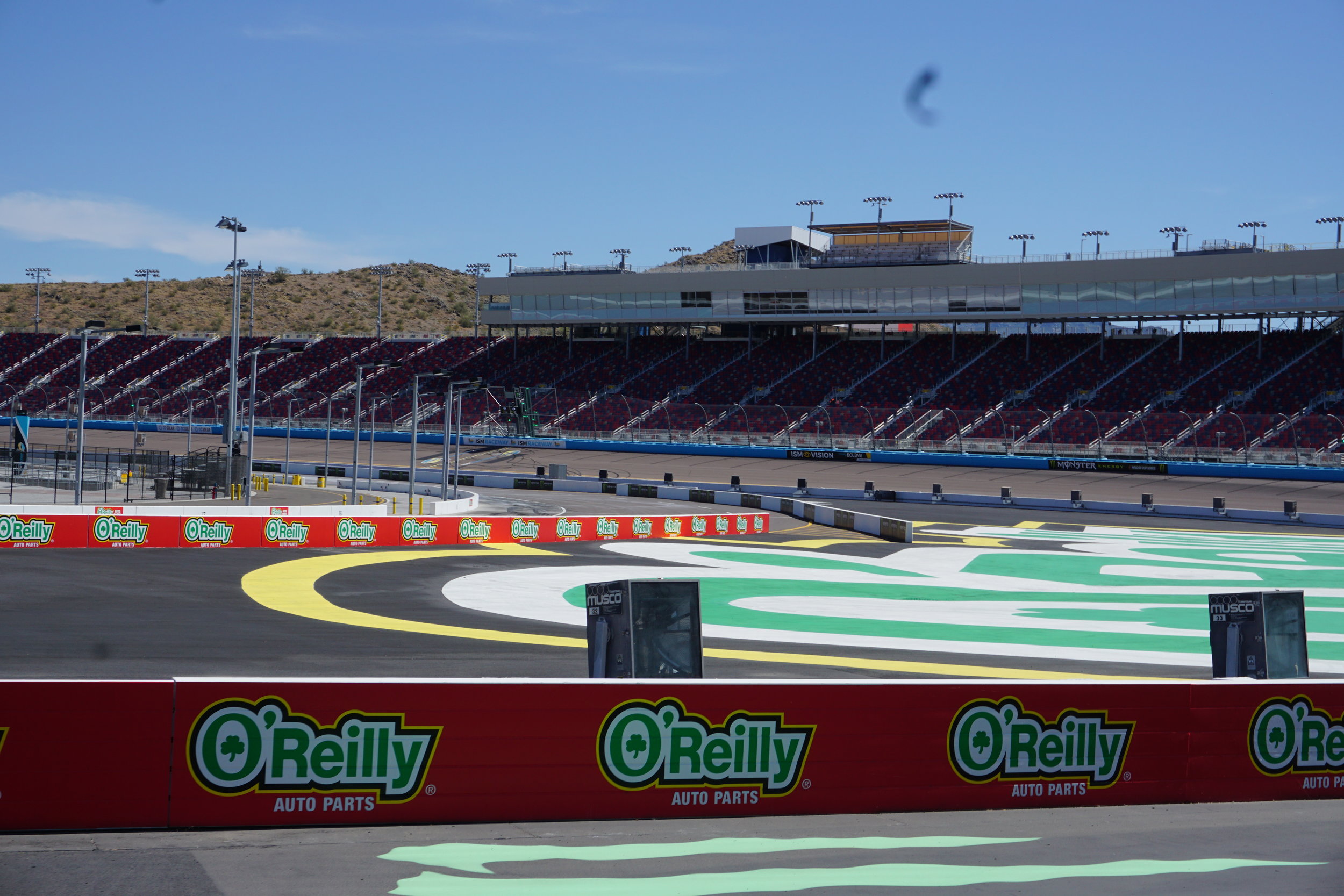

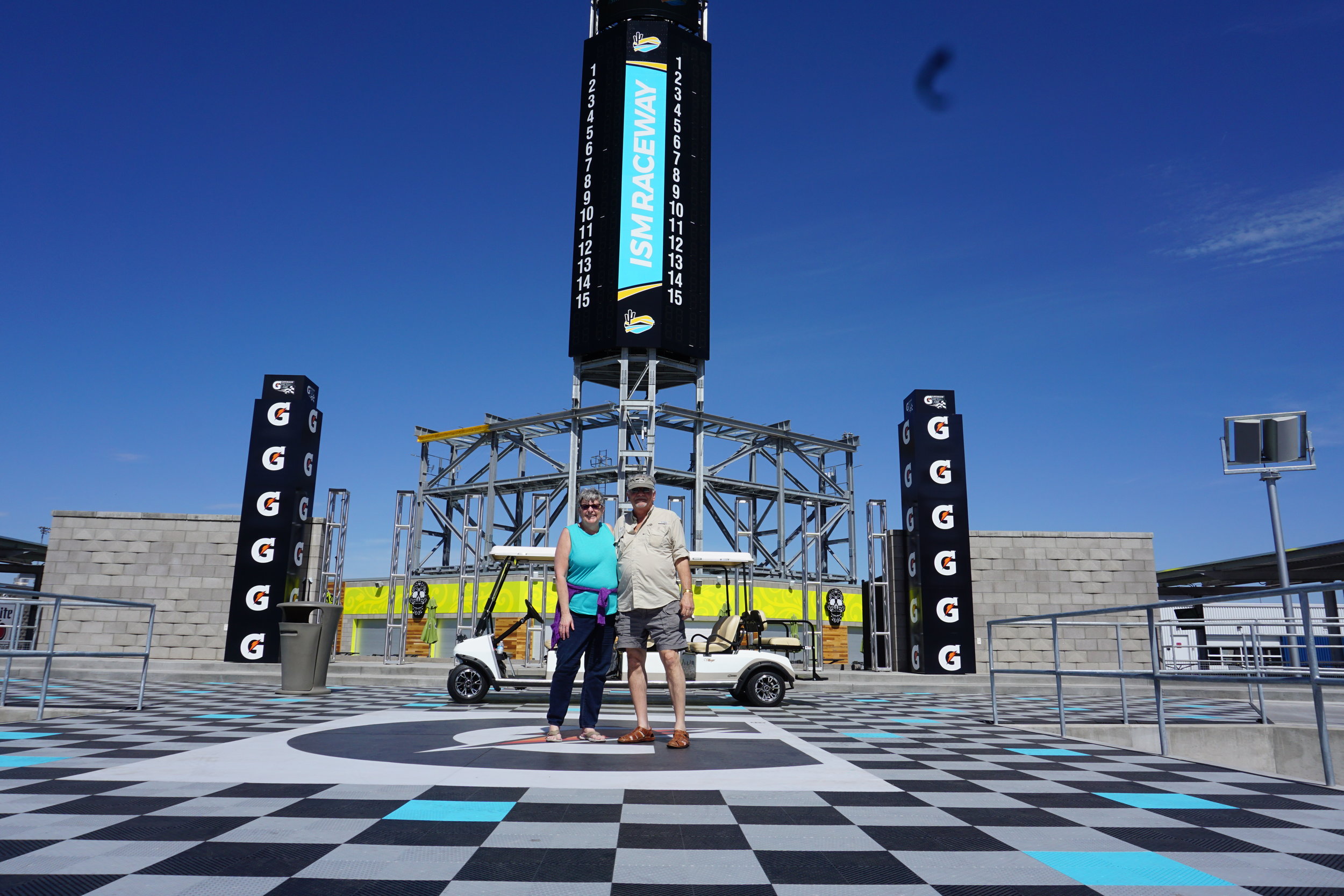

ISM speedway in Tolleson, AZ at the far southwest side of Phoenix.
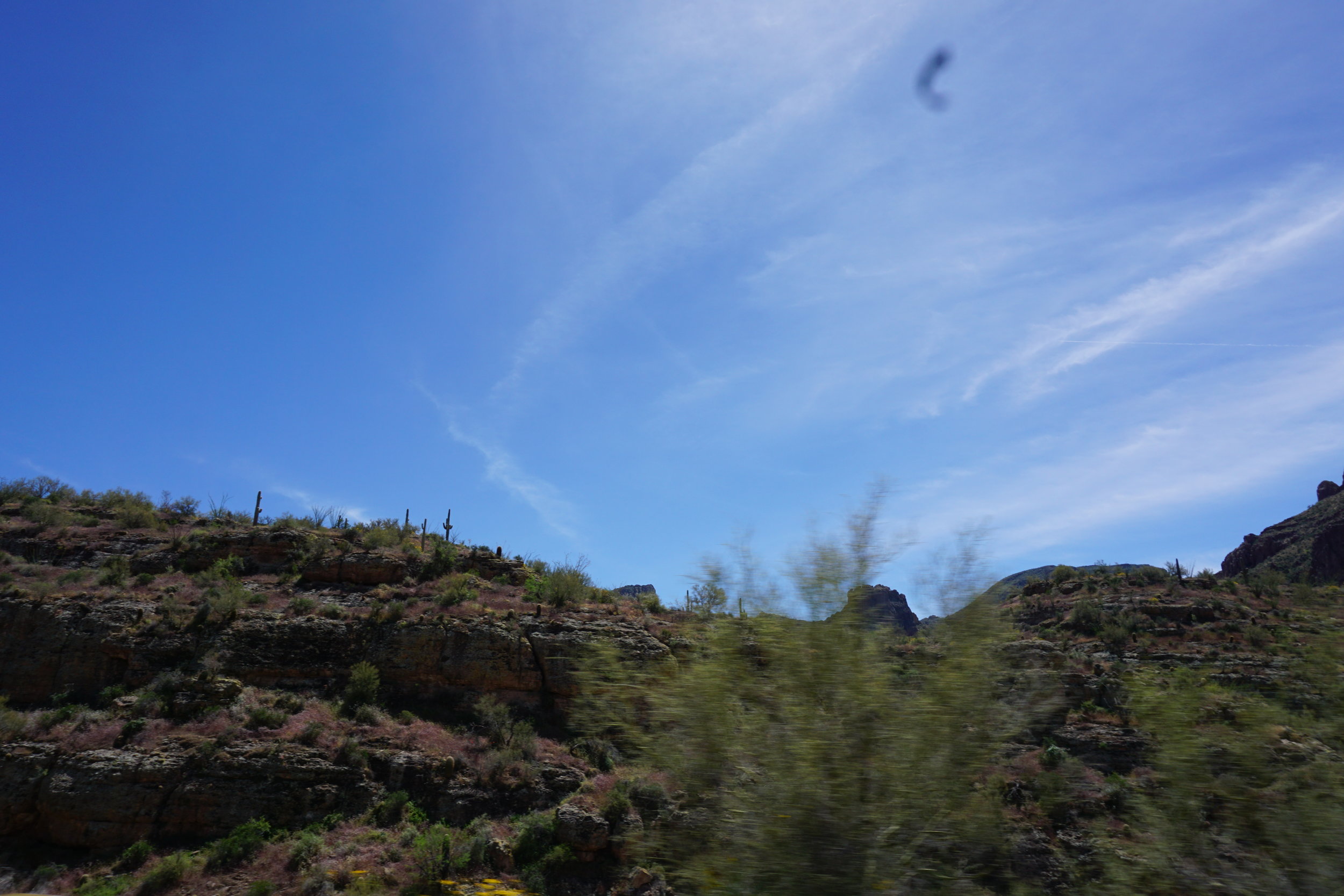
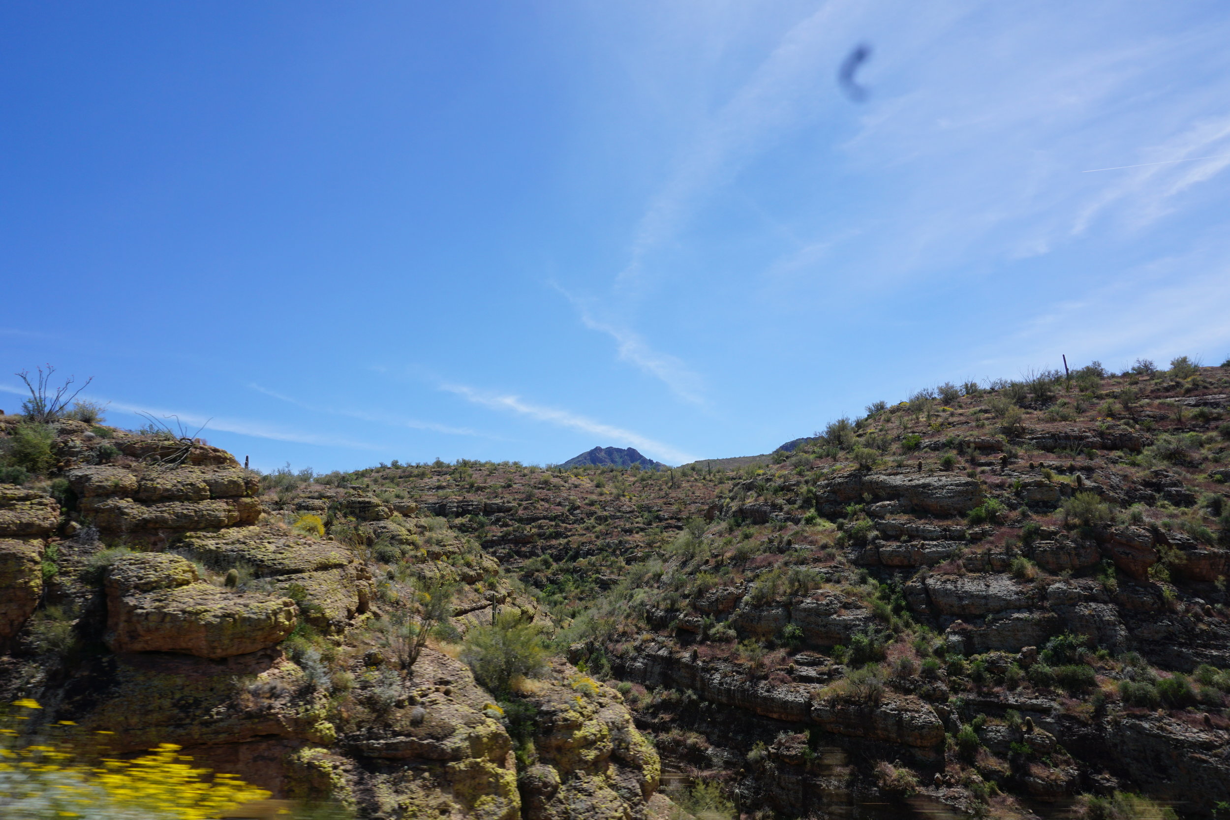
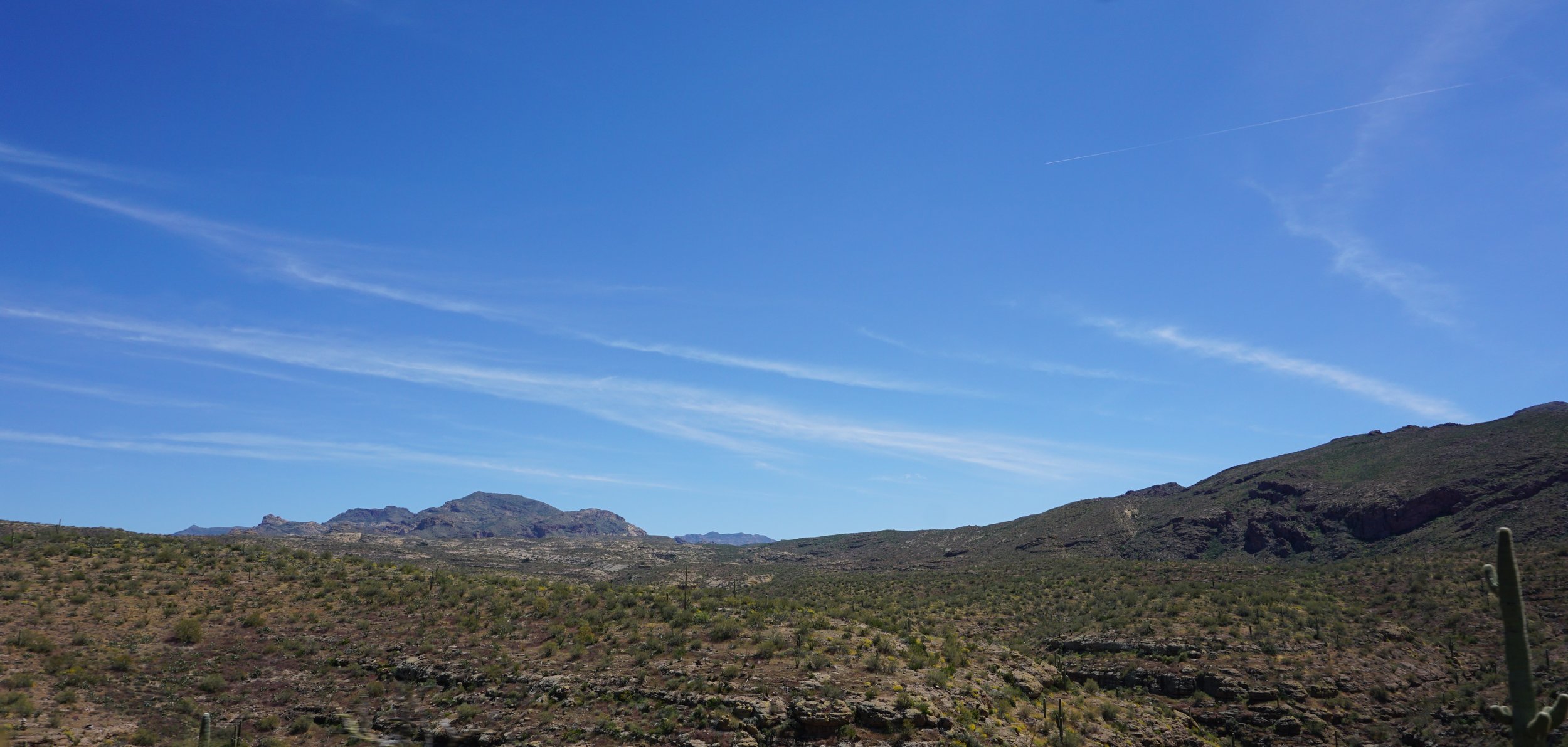
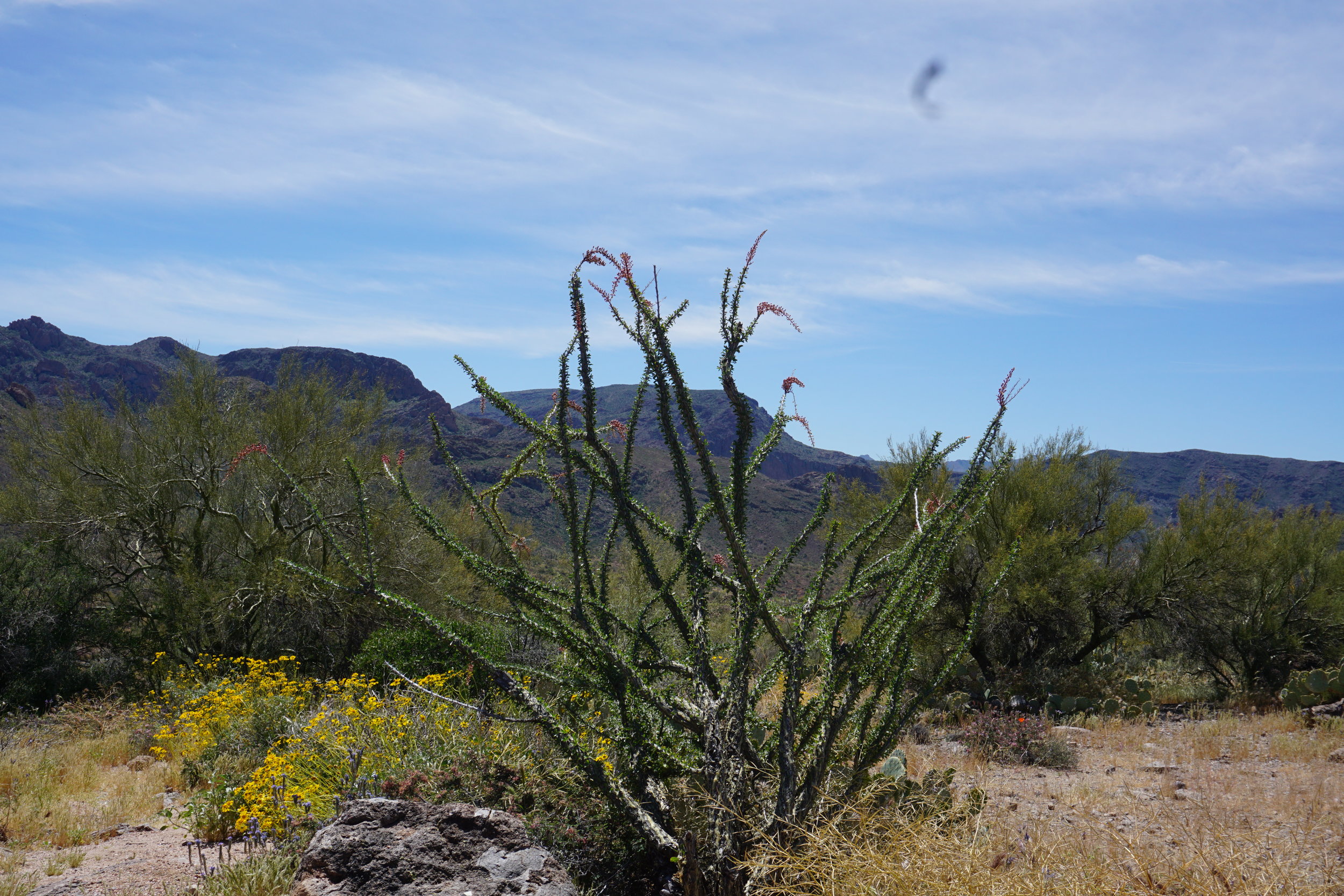
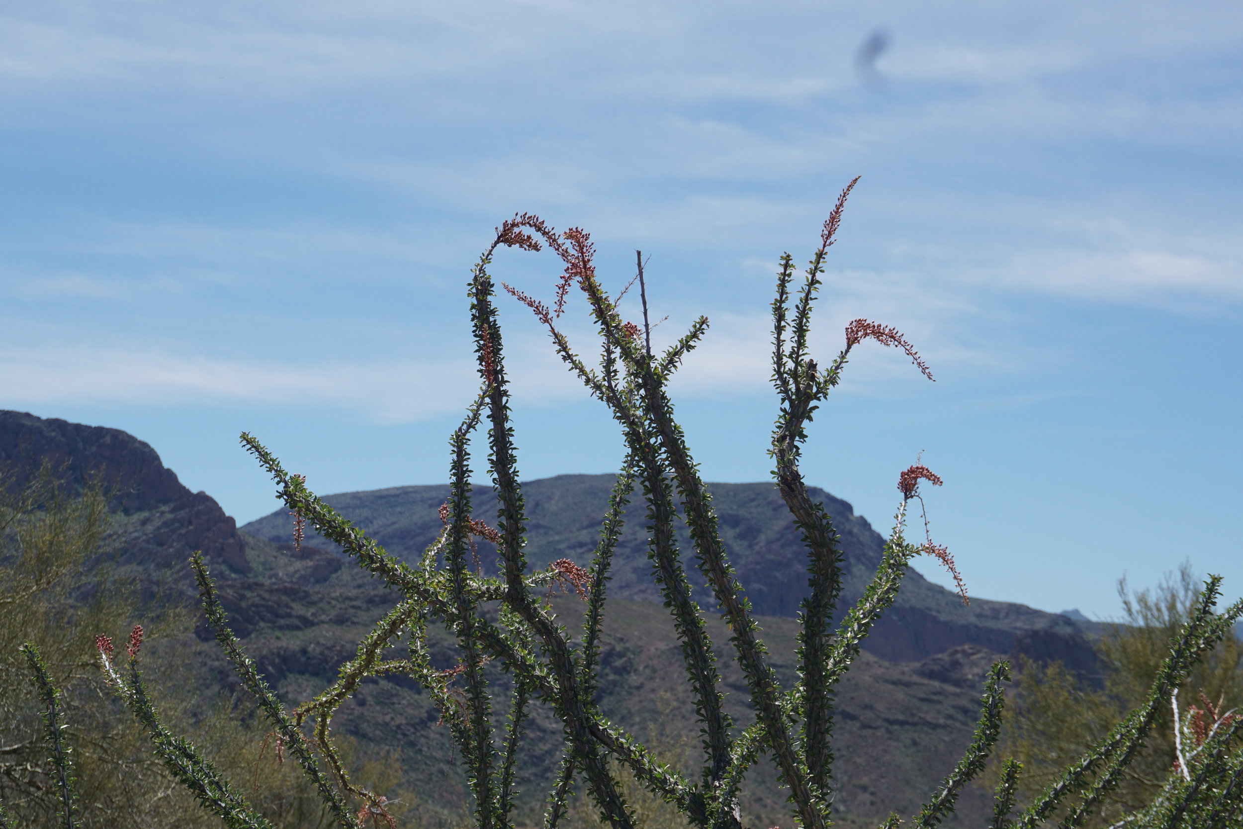
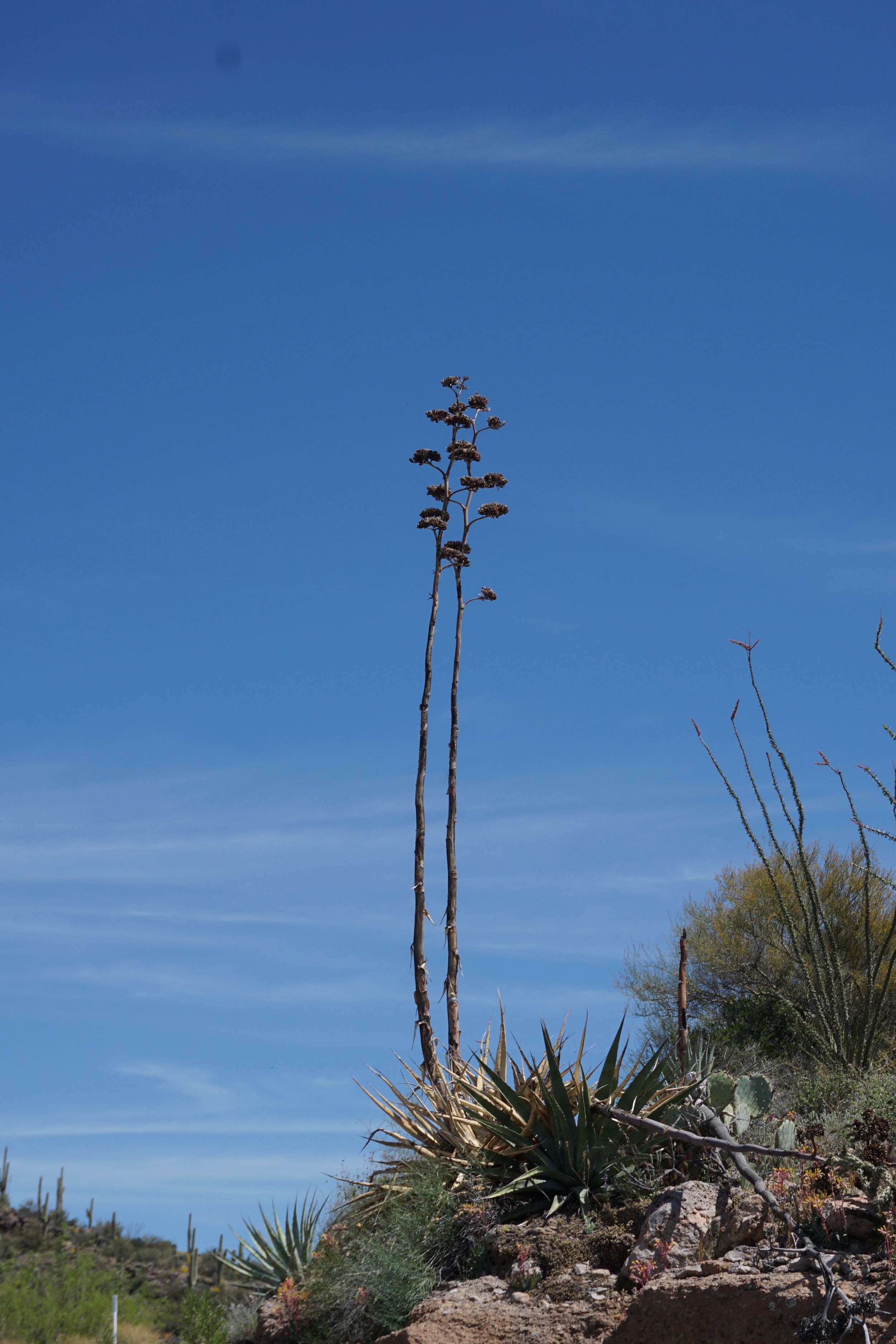
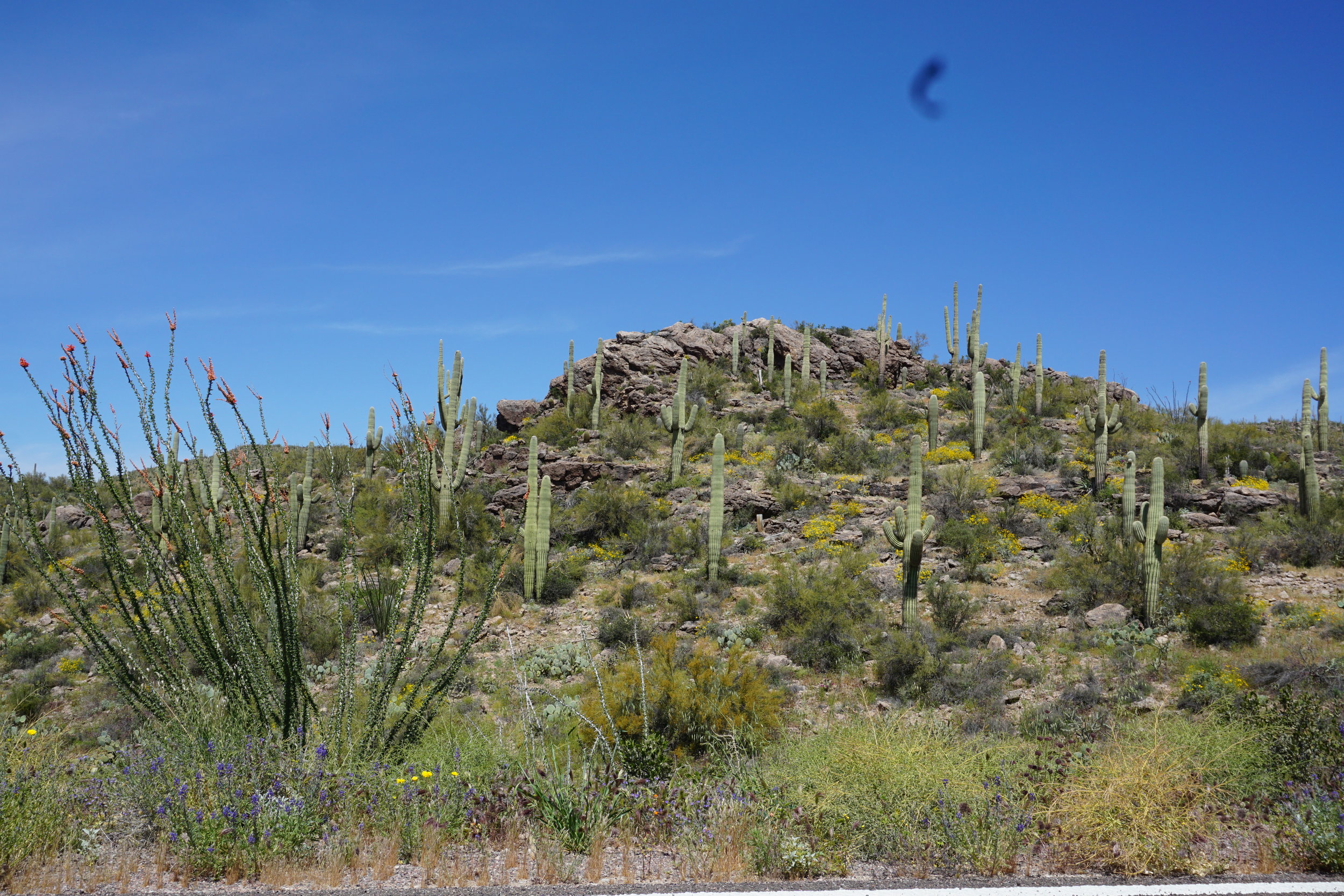
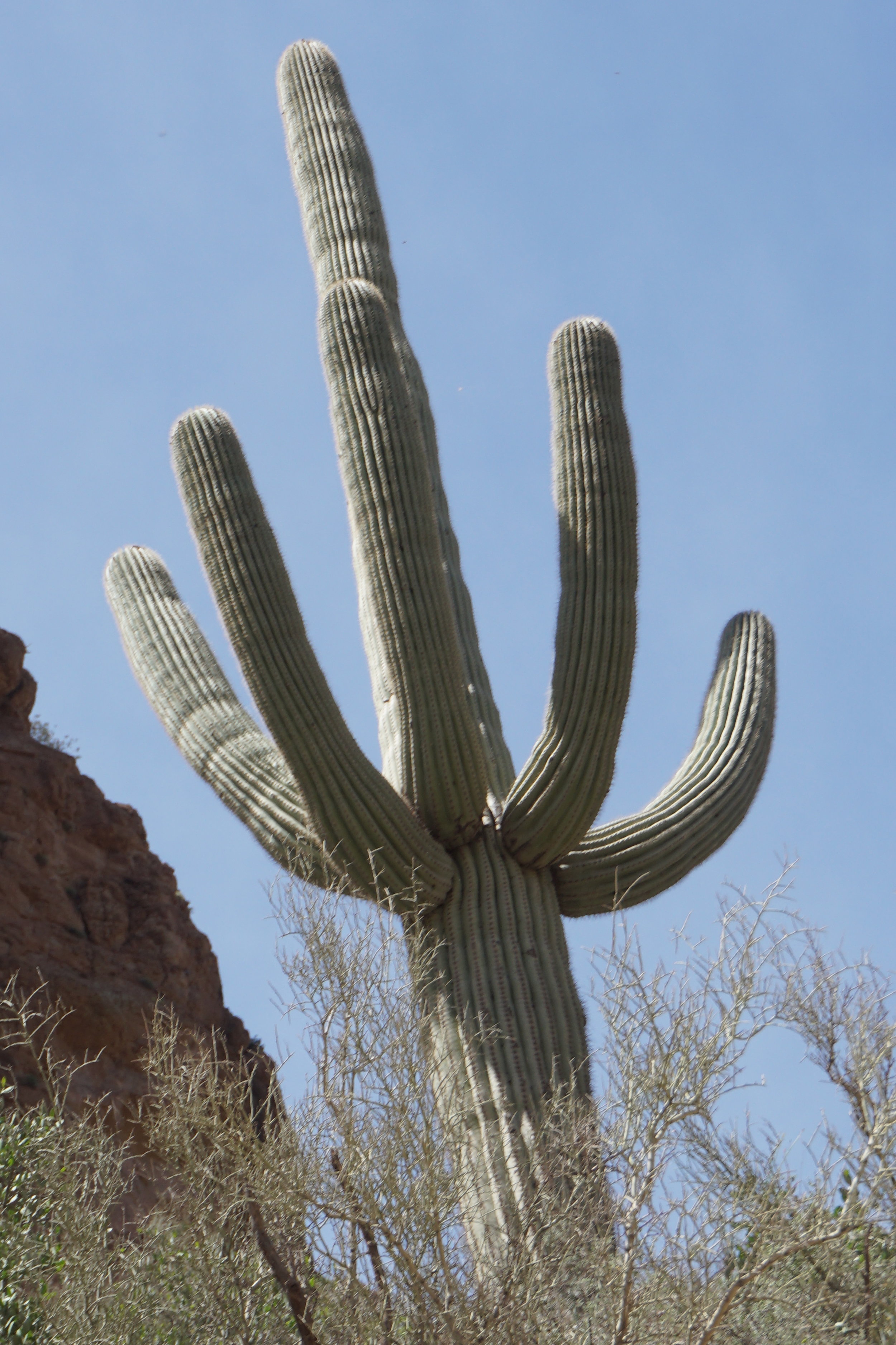
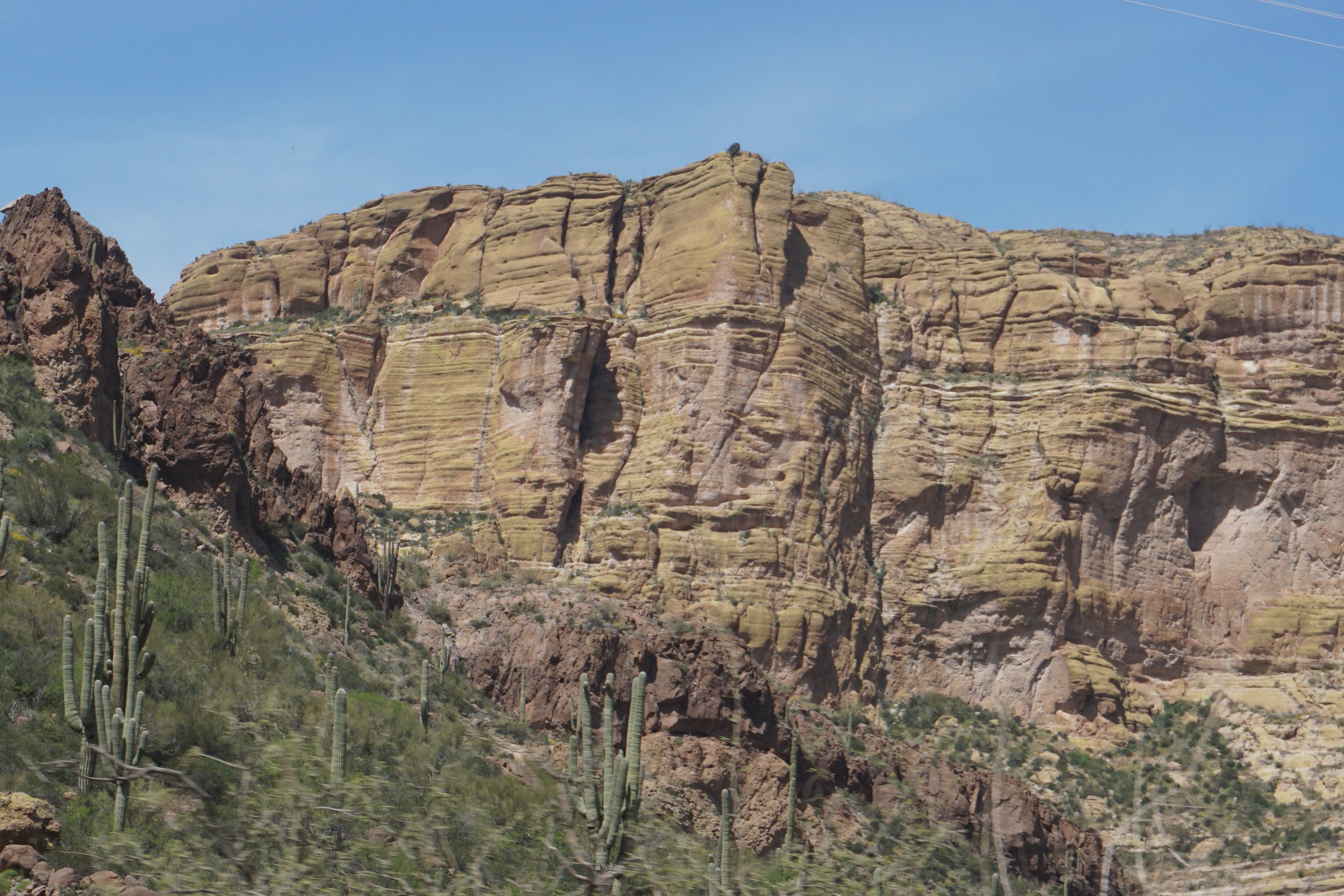
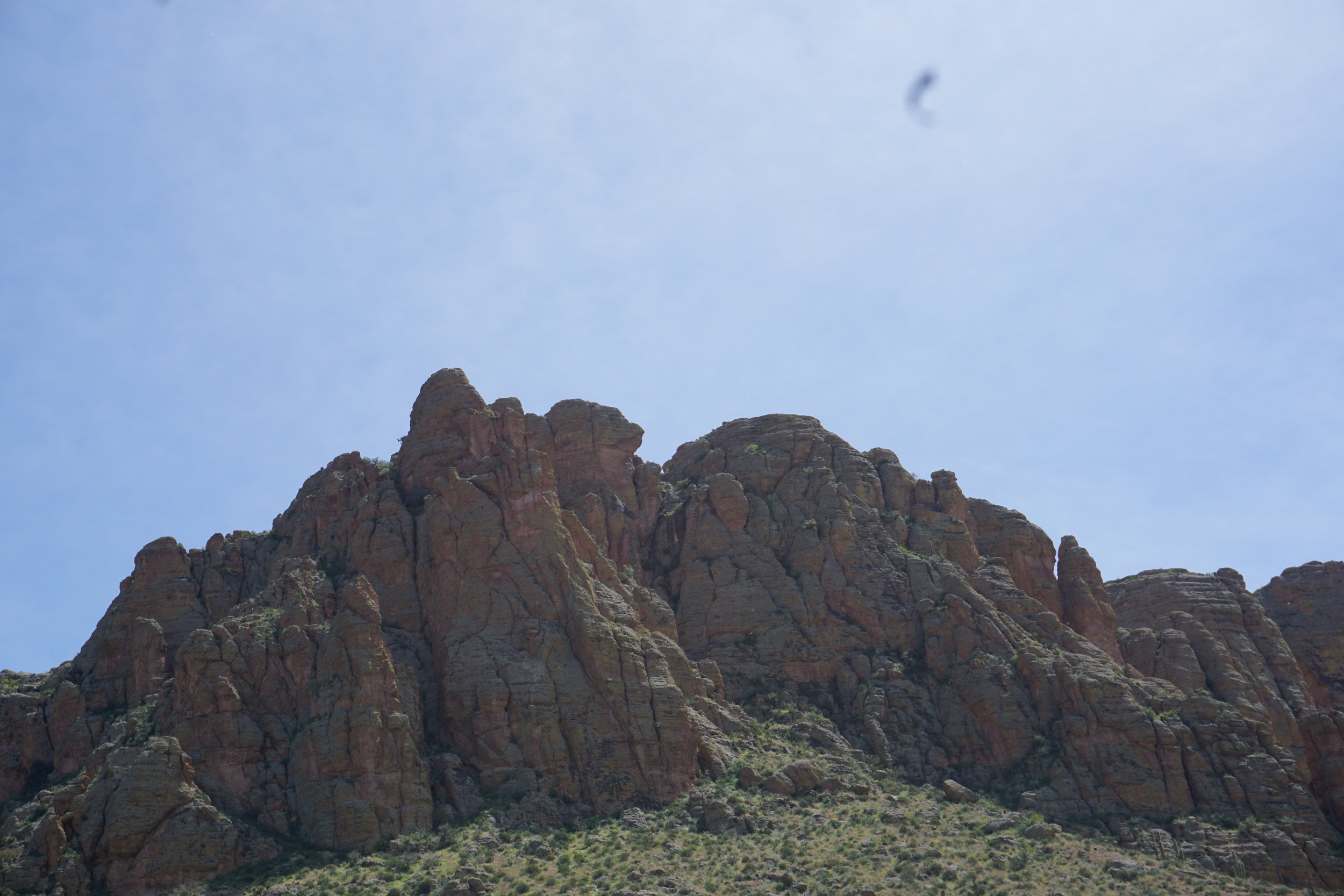
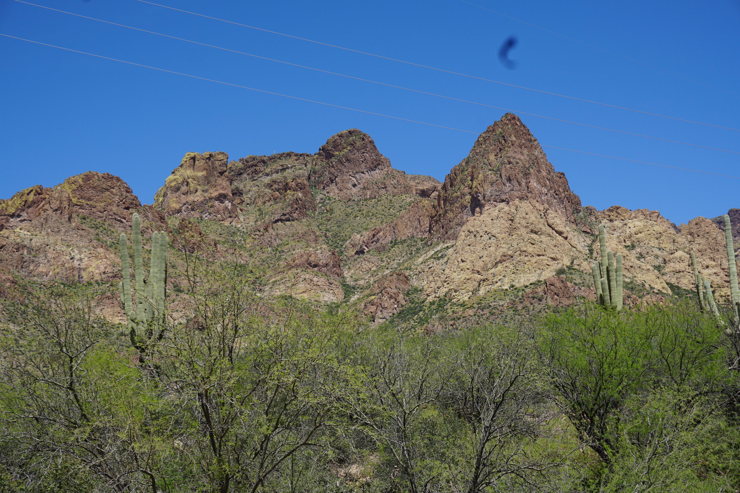
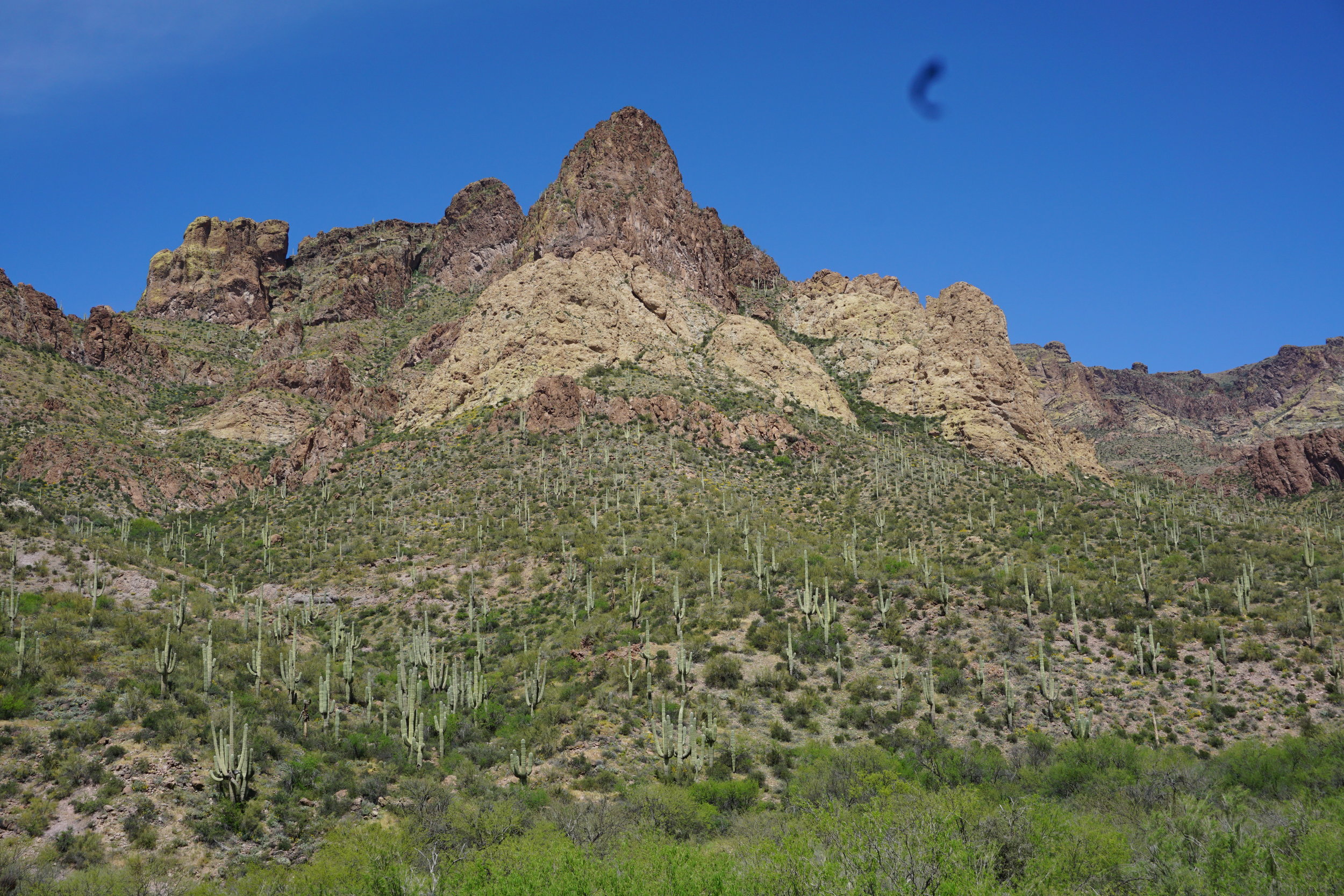
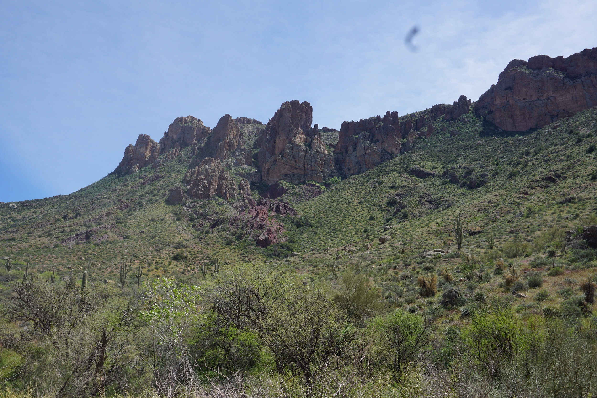
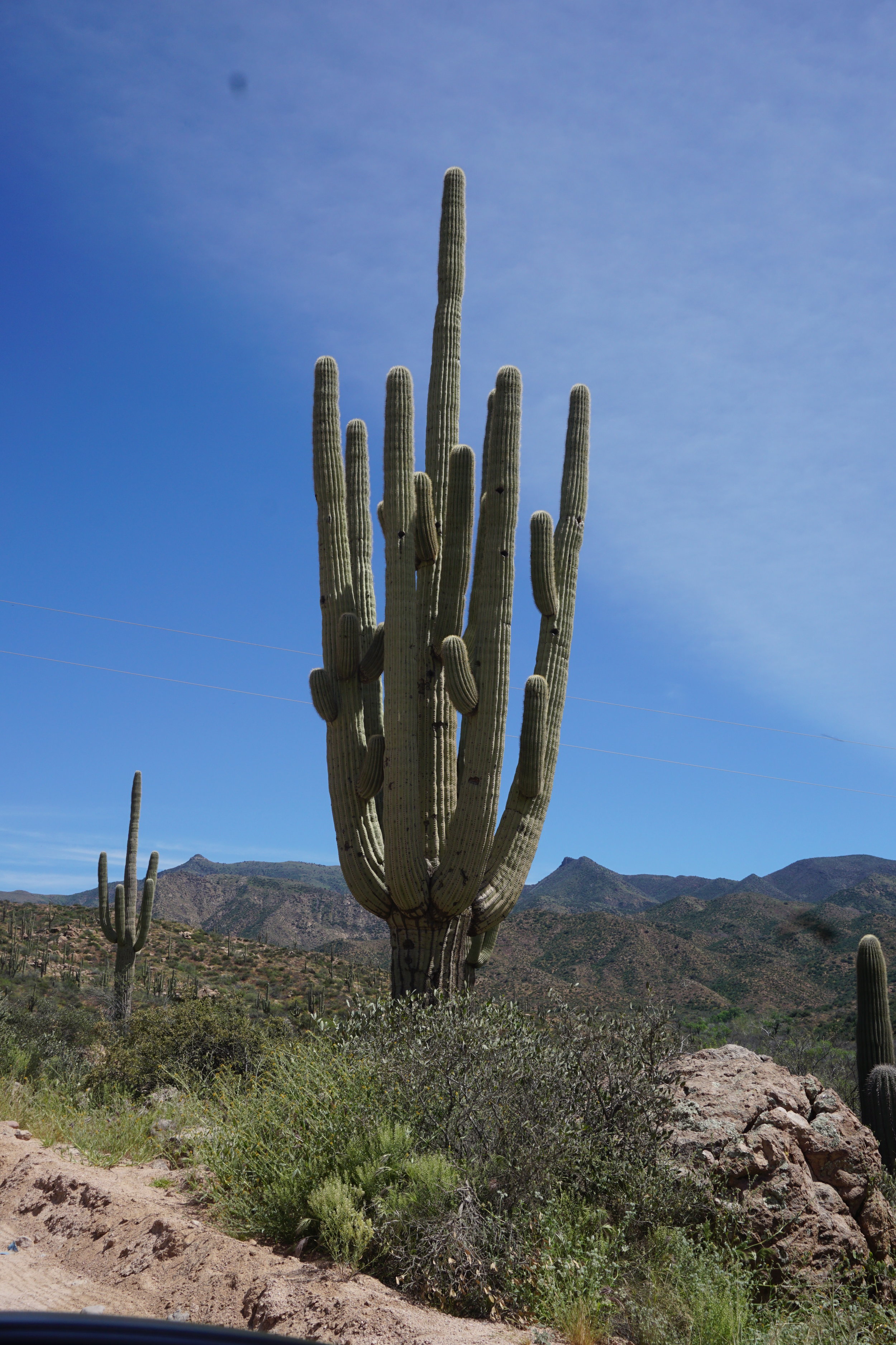
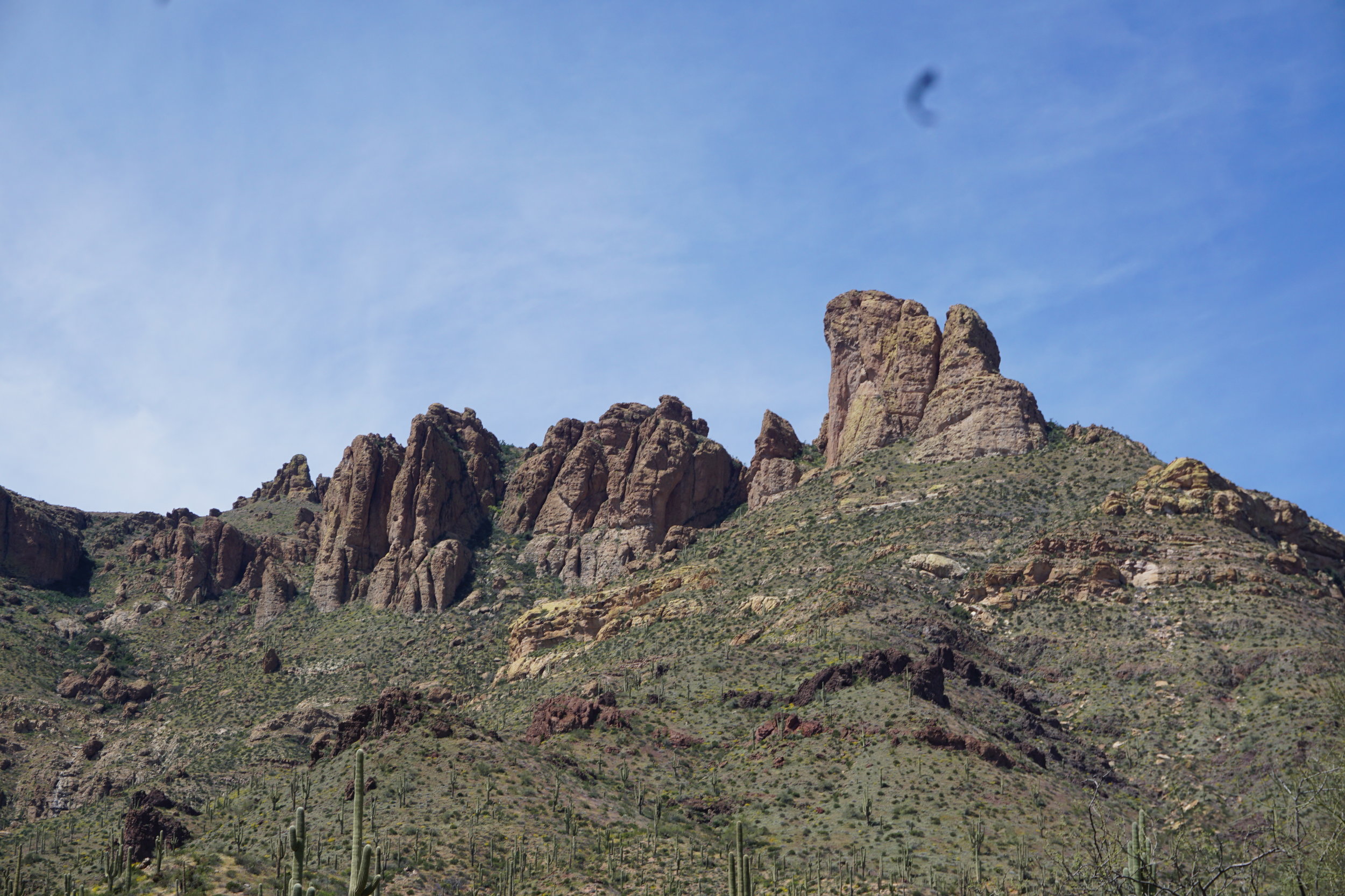
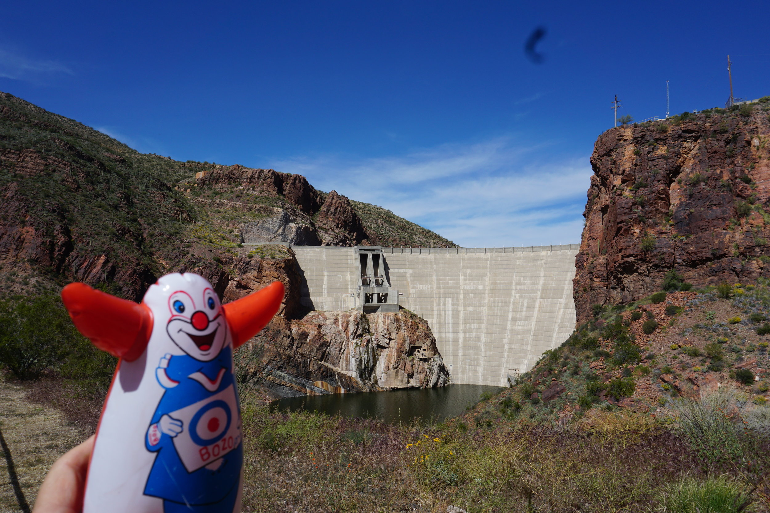
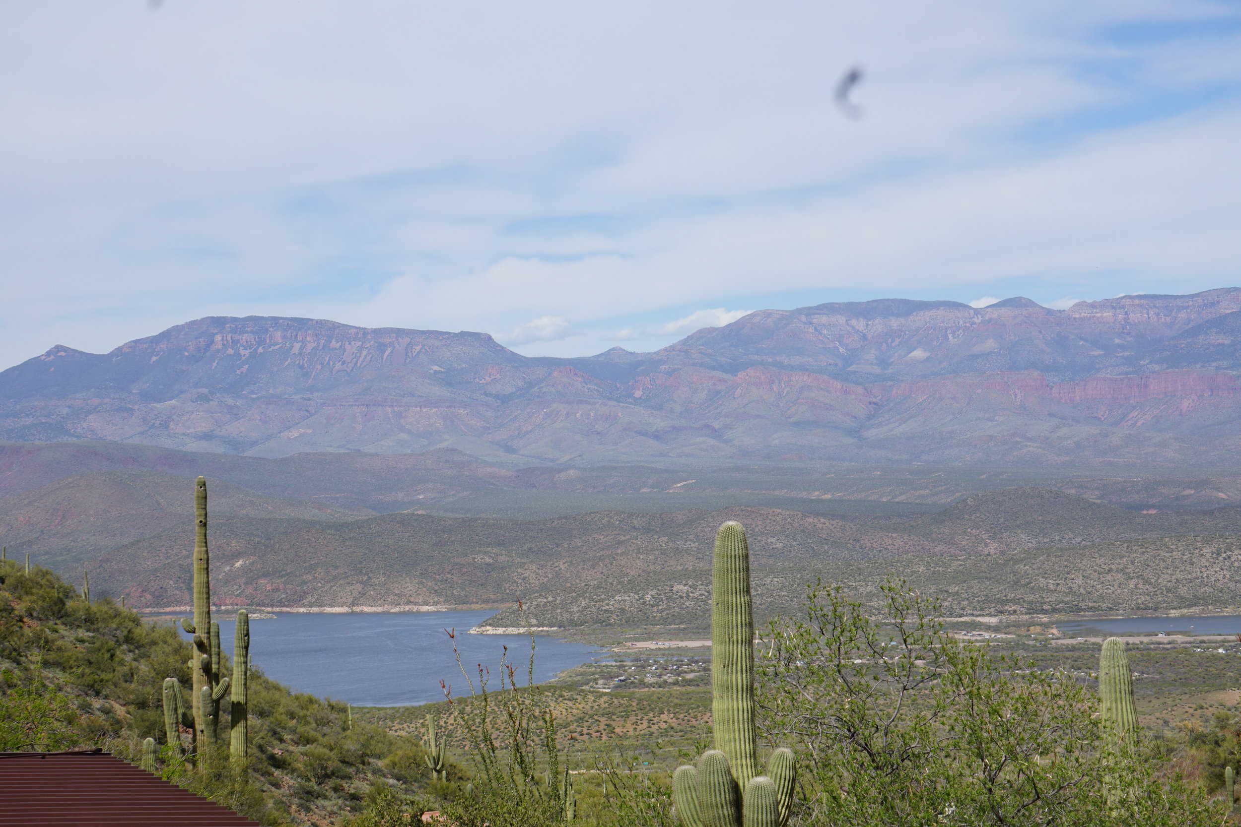
Our next day trip was into the Superstition Mountains and Tonto National Forrest to go to Roosevelt Lake. This is the second time we’ve taken this trip. Previous spring drives were in wetter times and the desert was more in bloom, but there were still some that hadn’t gone to seed yet, despite the heat. Luckily it was a relatively cool month. It got into the 90’s only a couple times while we were there. This included our trip to Copper Horse vineyard in the middle of the month.
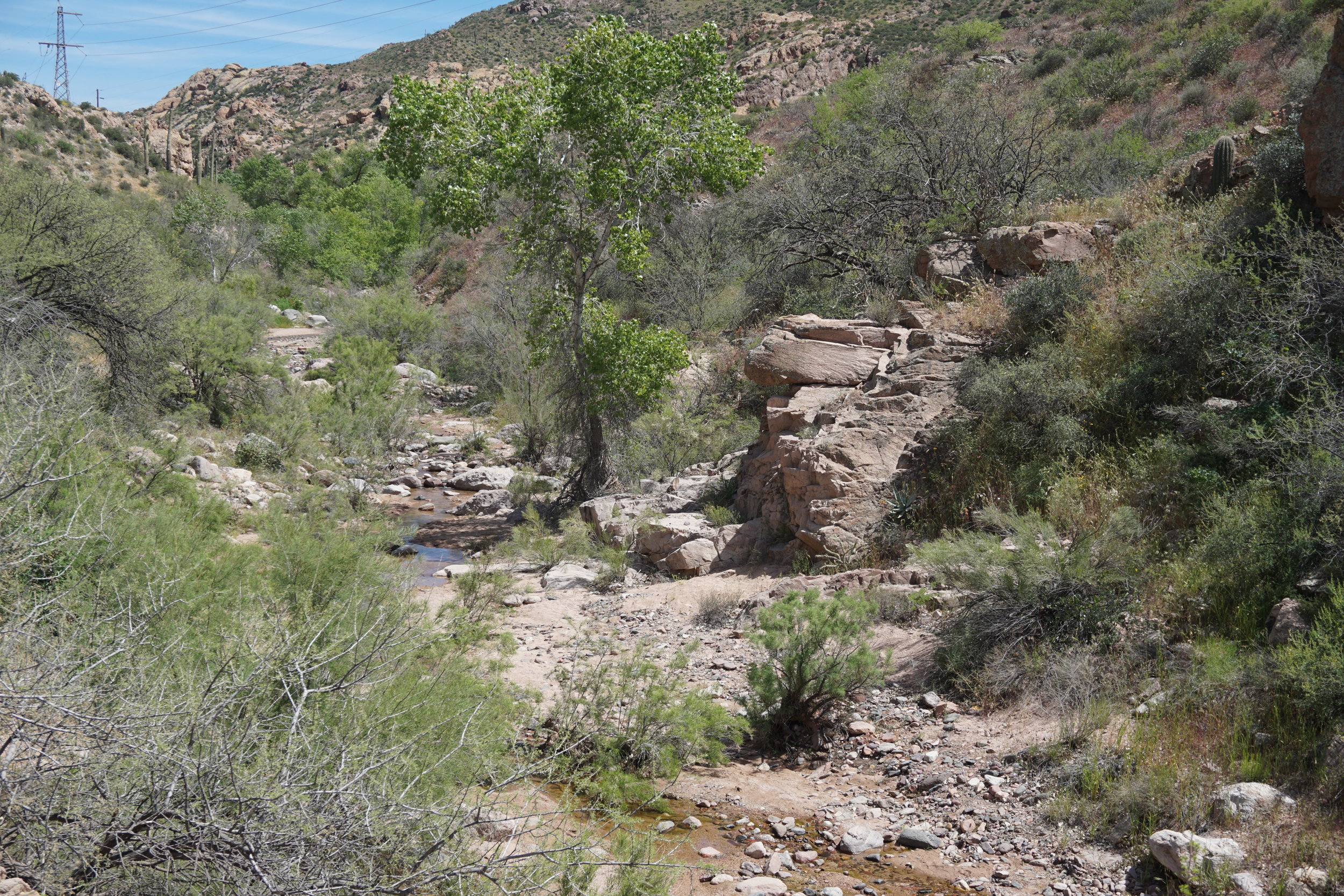
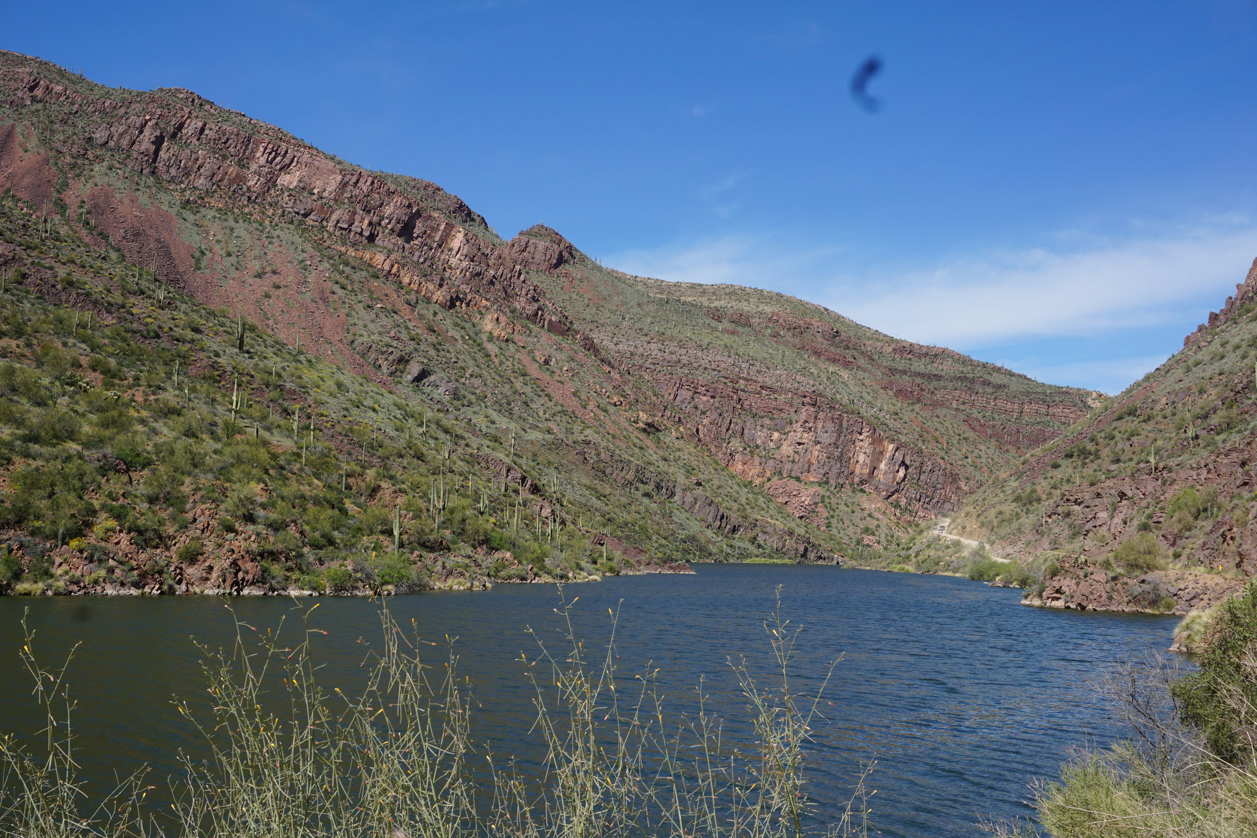
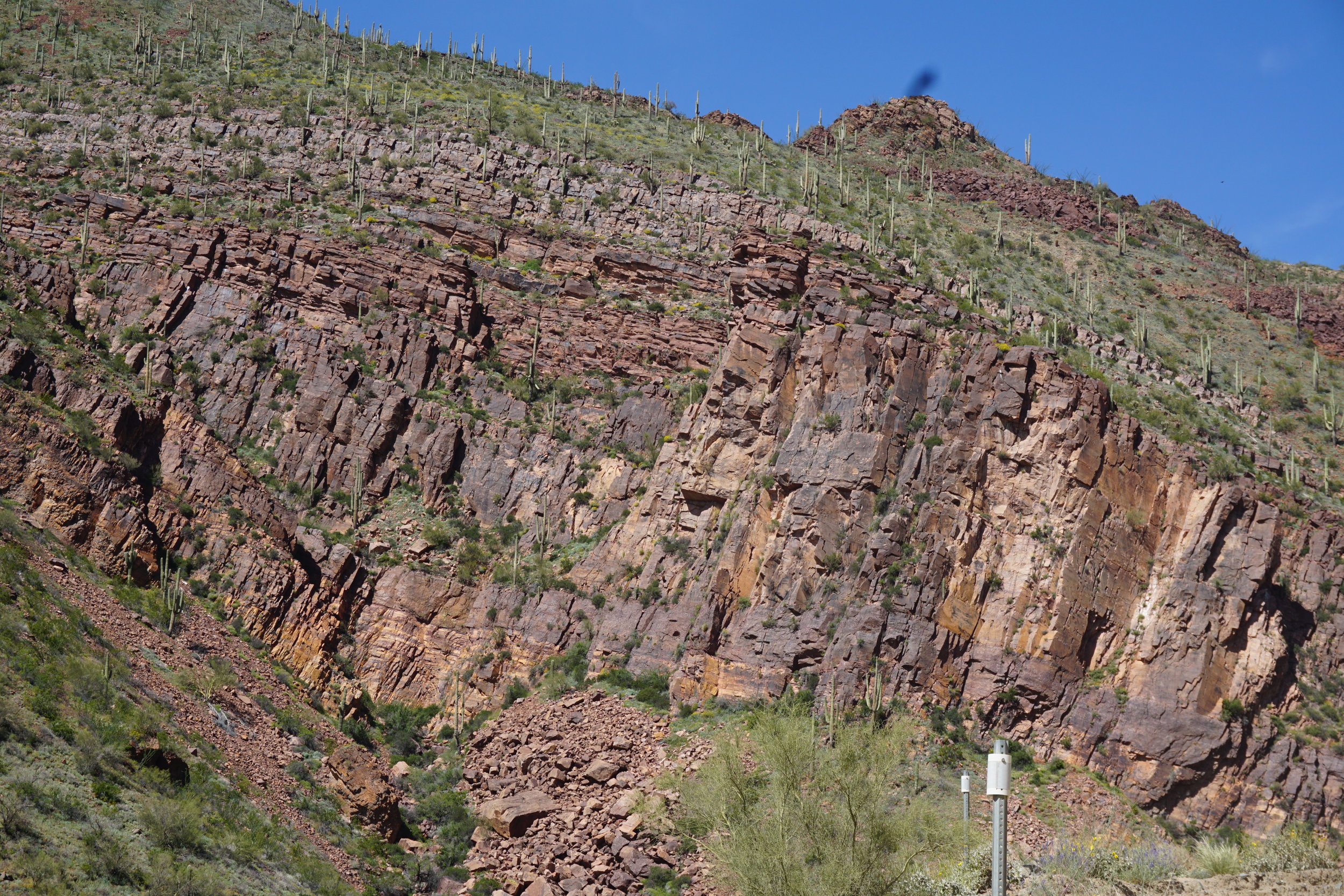
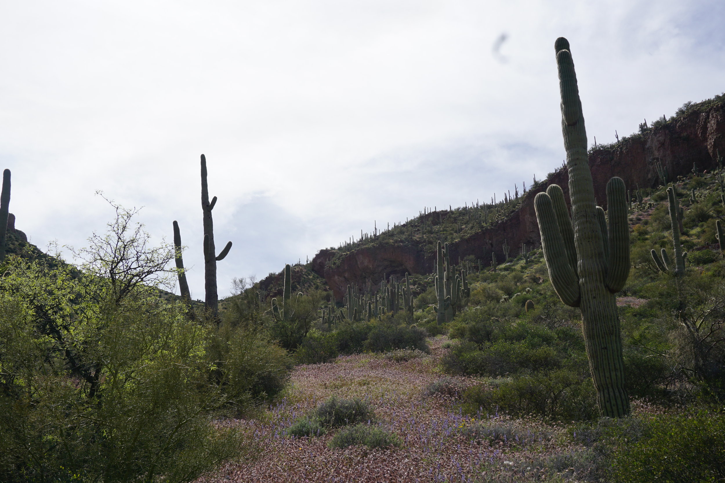
It’s a fairly easy drive, dusty as hell for a large part of it after you pass Tortilla Flats, the tourist trap/restaurant at the start of the drive to Roosevelt Dam and the lake. You follow, basically, the Salt River out to the lake. Along the way there is a smaller lake, Apache Lake, on the Salt River, at the bottom of a picturesque canyon. There are ample opportunities to take photos. Keep your eyes out. We found mountain sheep at the bottom of Fish Creek Canyon on our trip in 2018. This year we kept looking but no luck. We “found” them the last time because rocks were falling off the cliffs along the road as we drove through alongside the creek. As I slowed down we saw a sheep and a lamb in the road, but before I could get a photo they headed up the cliffs to the outcroppings above the road where the rest of the herd was standing, watching.

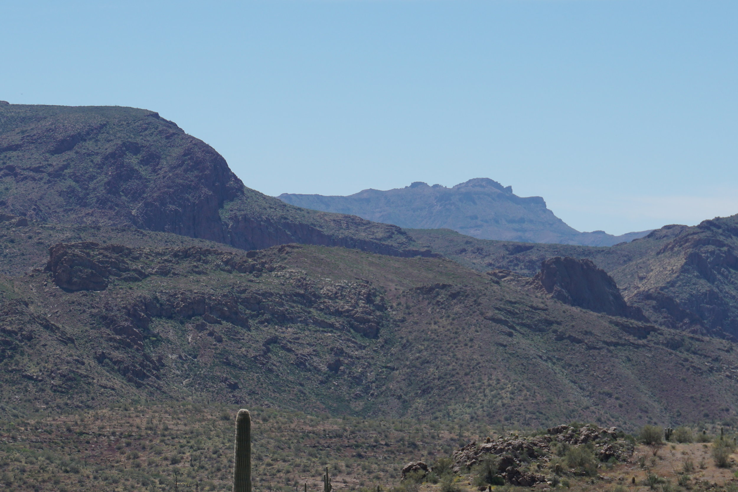

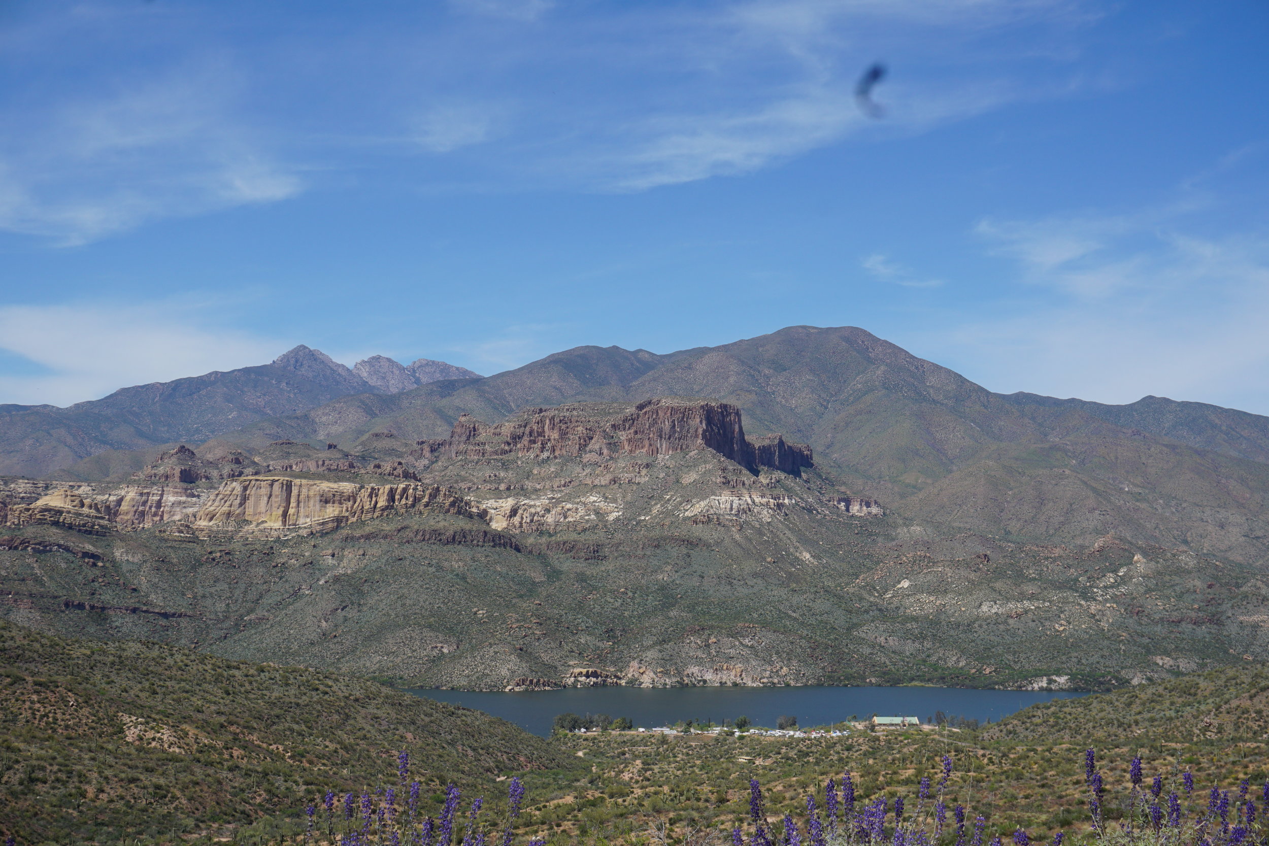
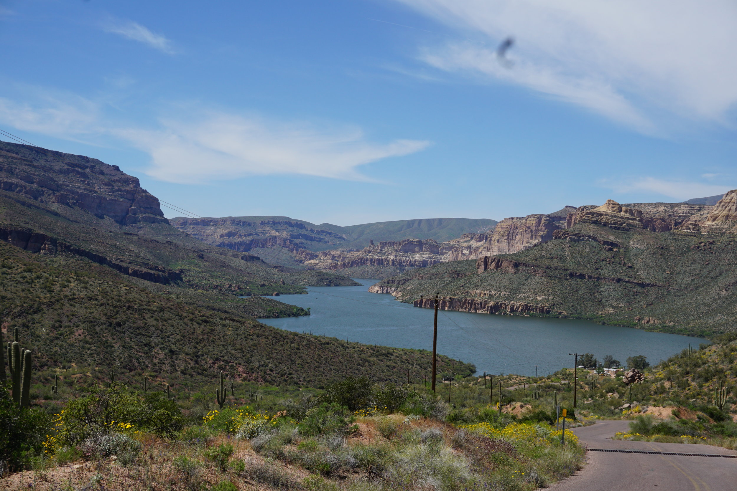

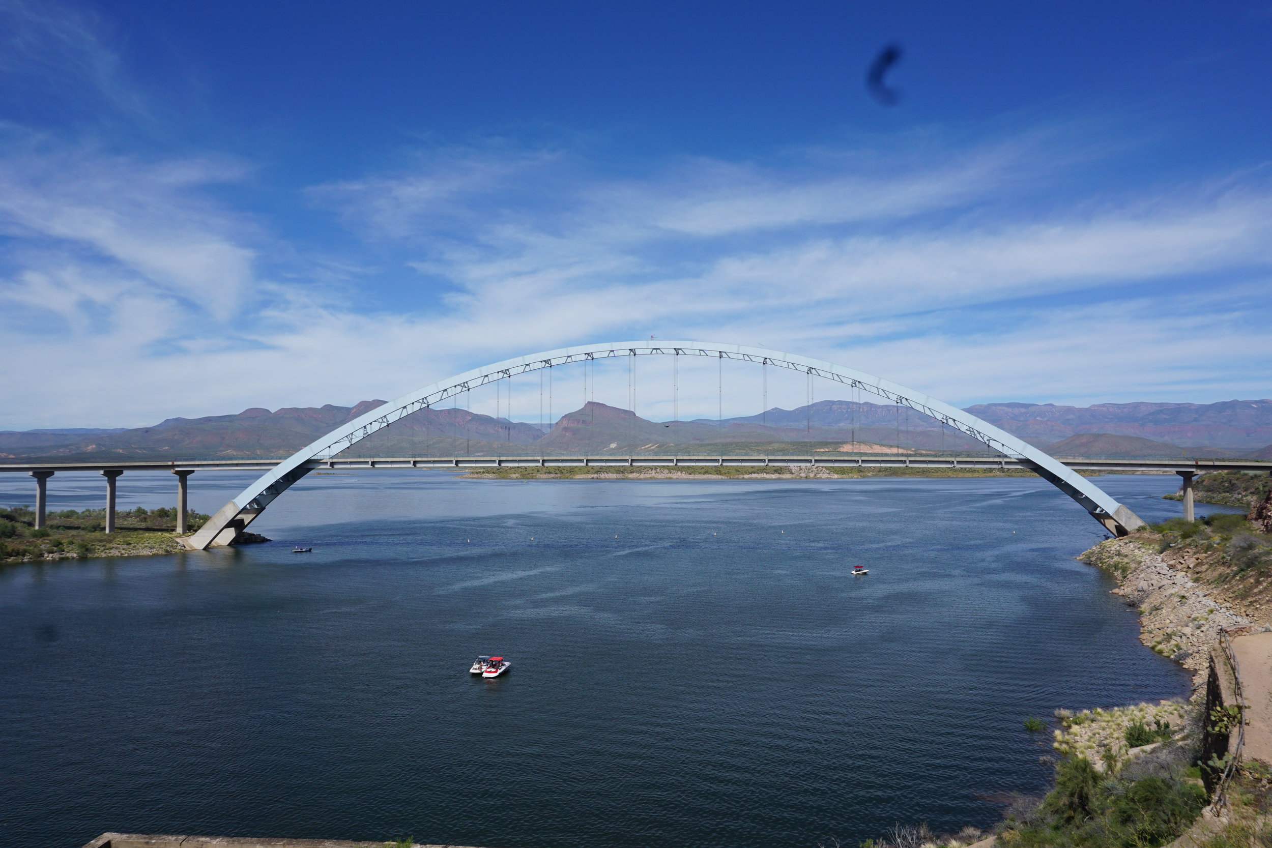

Roosevelt Lake from the Apache Trail highway
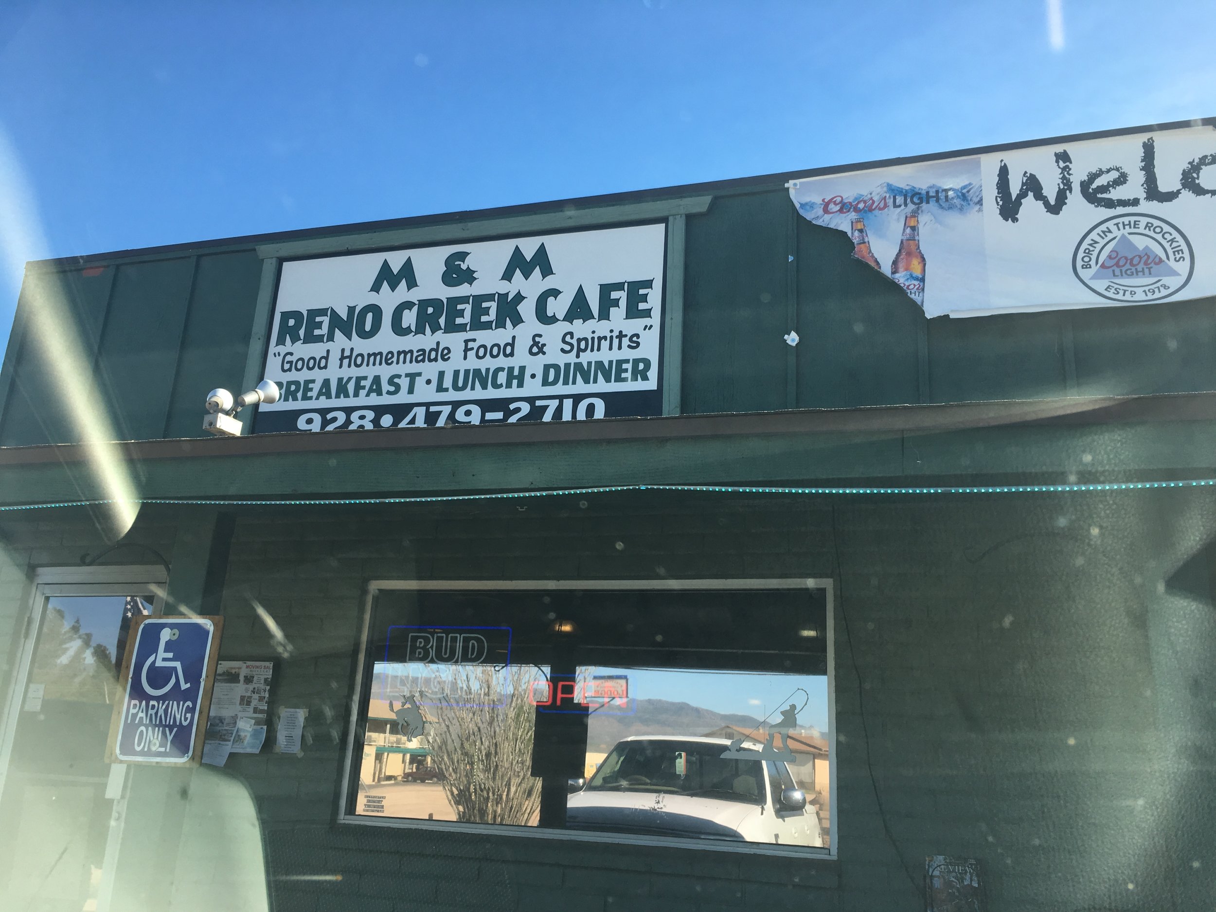
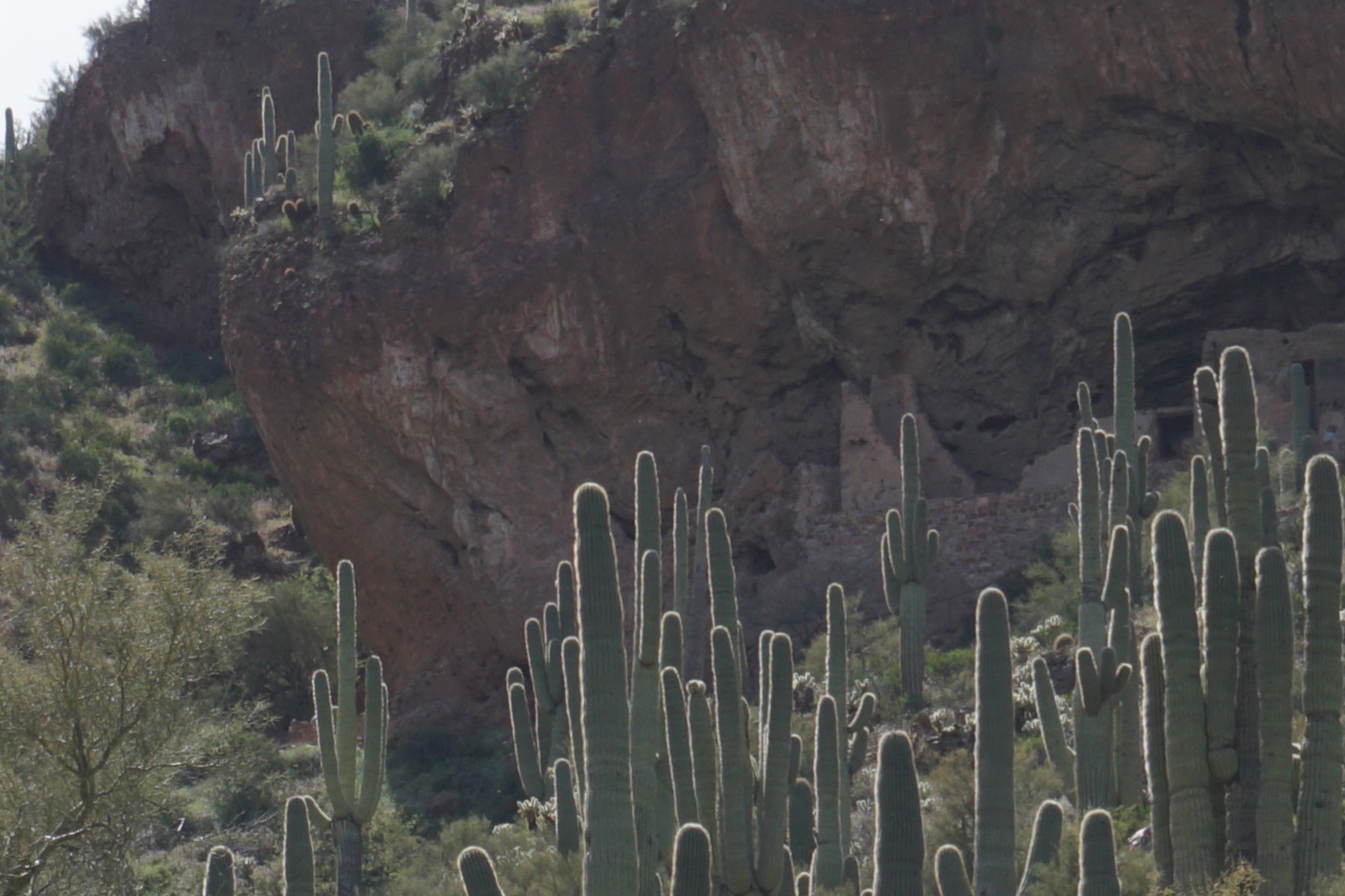
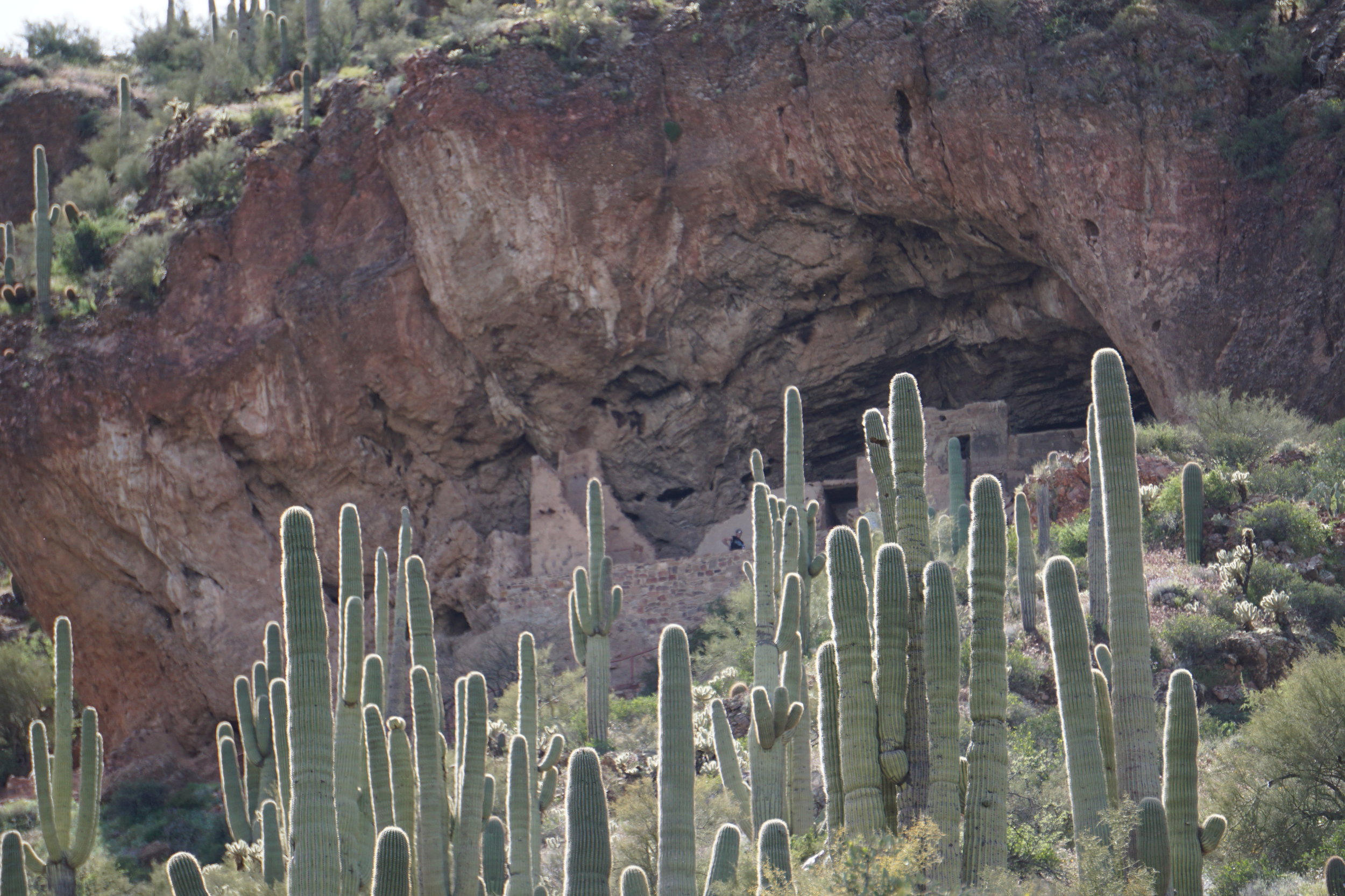
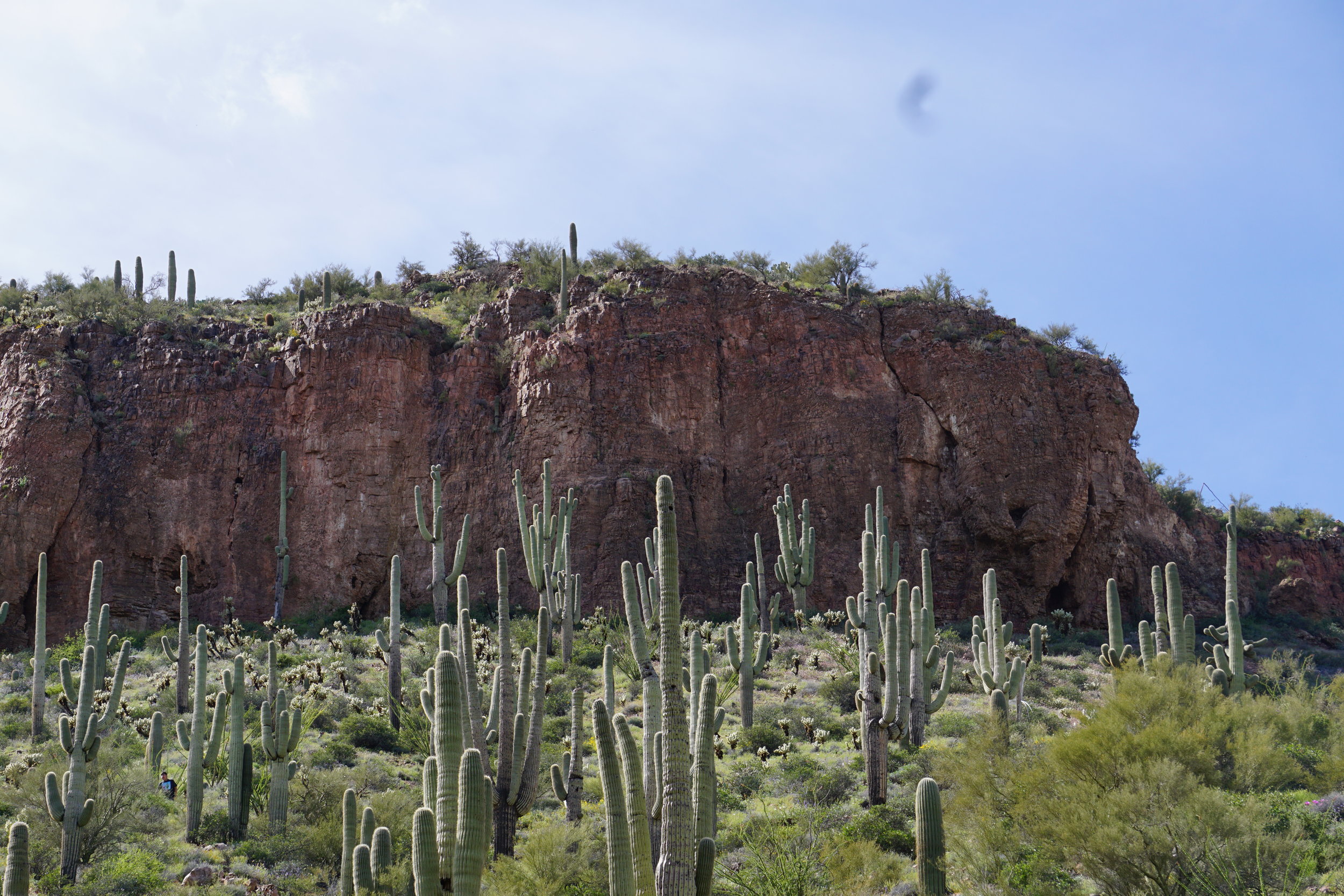
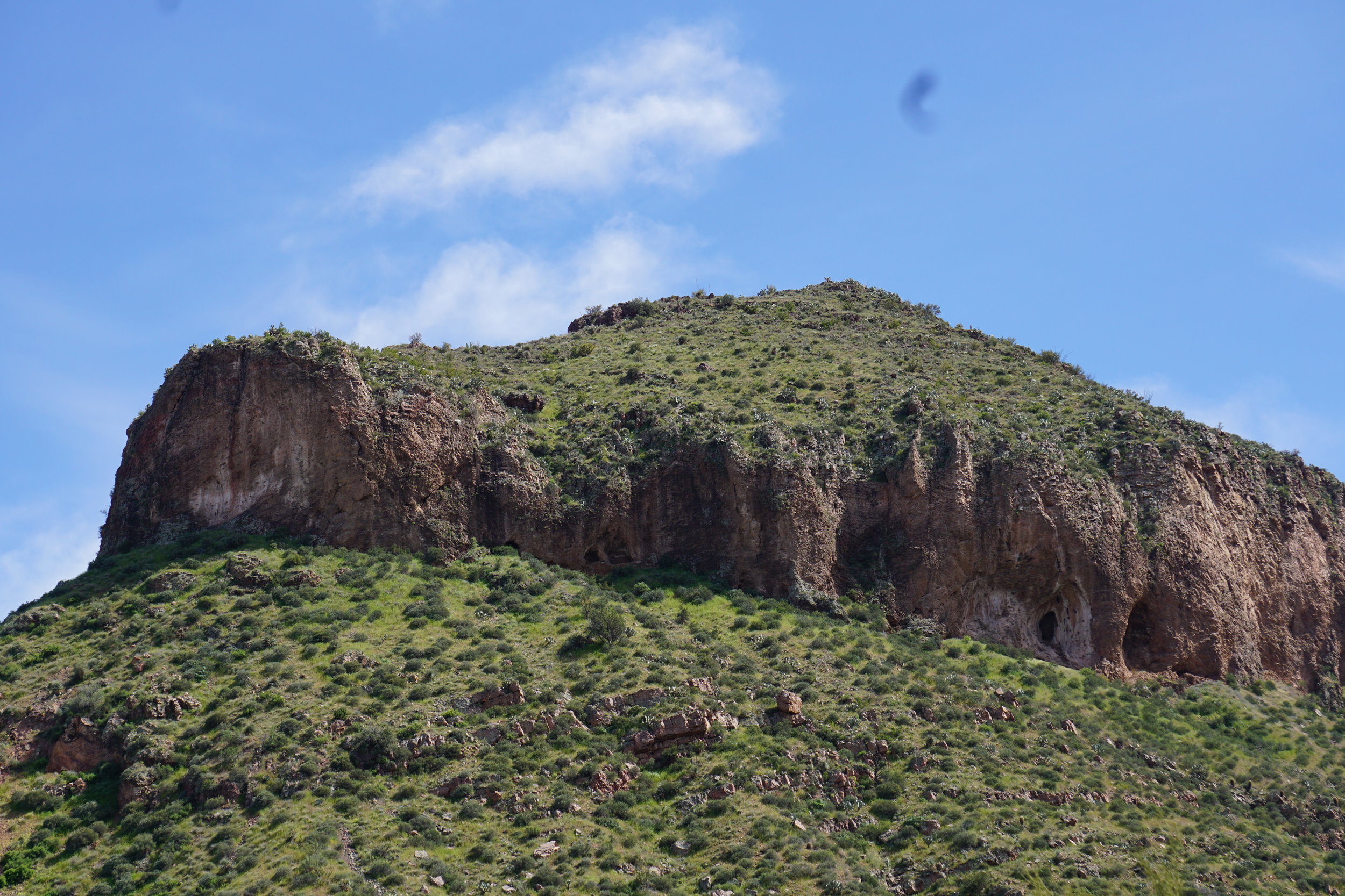
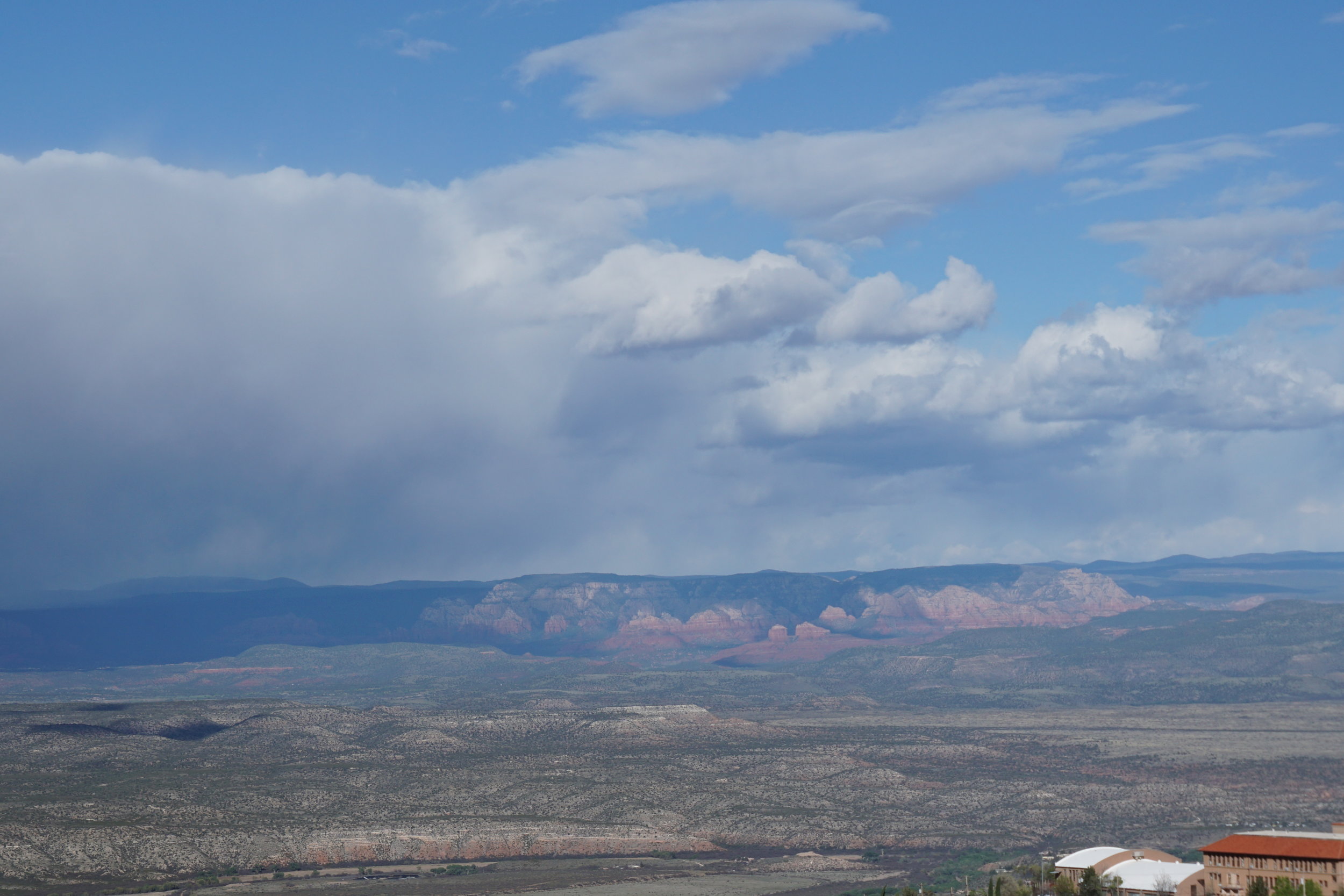
Last time here we went to Payson, the hometown of Zane Grey, the western author. His home is a museum now and, basically the only thing of note in the town. This time we headed back towards Phoenix before Payson, turning west on AZ 87, just north of Punkin Center, a little town at the north end of the Tonto Basin. We stopped at a small roadside cafe in Punkin Center, M&M Reno Creek Cafe. It’s a good place to stop and the food was tasty. Before heading north back to the valley we did go to the Tonto National Forrest site about 3 miles south of the bridge shown above. There are pueblo dwellings in the park, one about a mile from the visitors center, another about 3 miles up into the hills. We were not prepared to head up to either of them. I was wearing only sandals and so was Cathy. We had water and some hiking poles so we could have done it but for the footwear. The drive back on AZ 87 was scenic for most of the trip, but you find yourself in Fountain Hills really fast.


I’m going to add some photos from a trip to Lake Pleasant, just north of Phoenix. I believe it’s actually now within the city’s limits. Phoenix added to it’s boundaries to keep other cities in the valley from closing off it’s northern limits. We stopped for lunch at a local barbecue place, Dillons. It’s not bad, but we’ve definitely had better. It’s main claim is as a sports bar, and it does a good job of that.
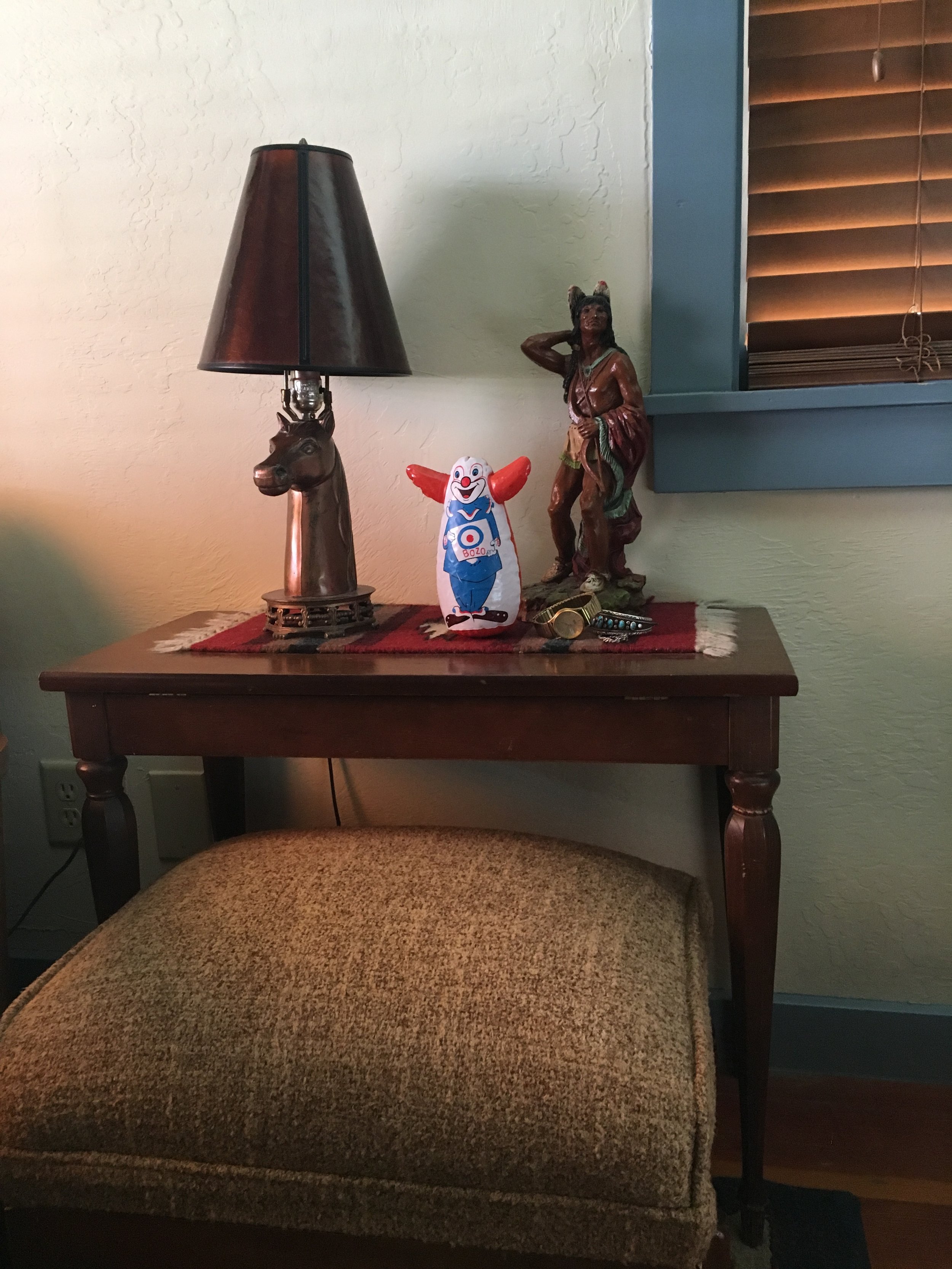
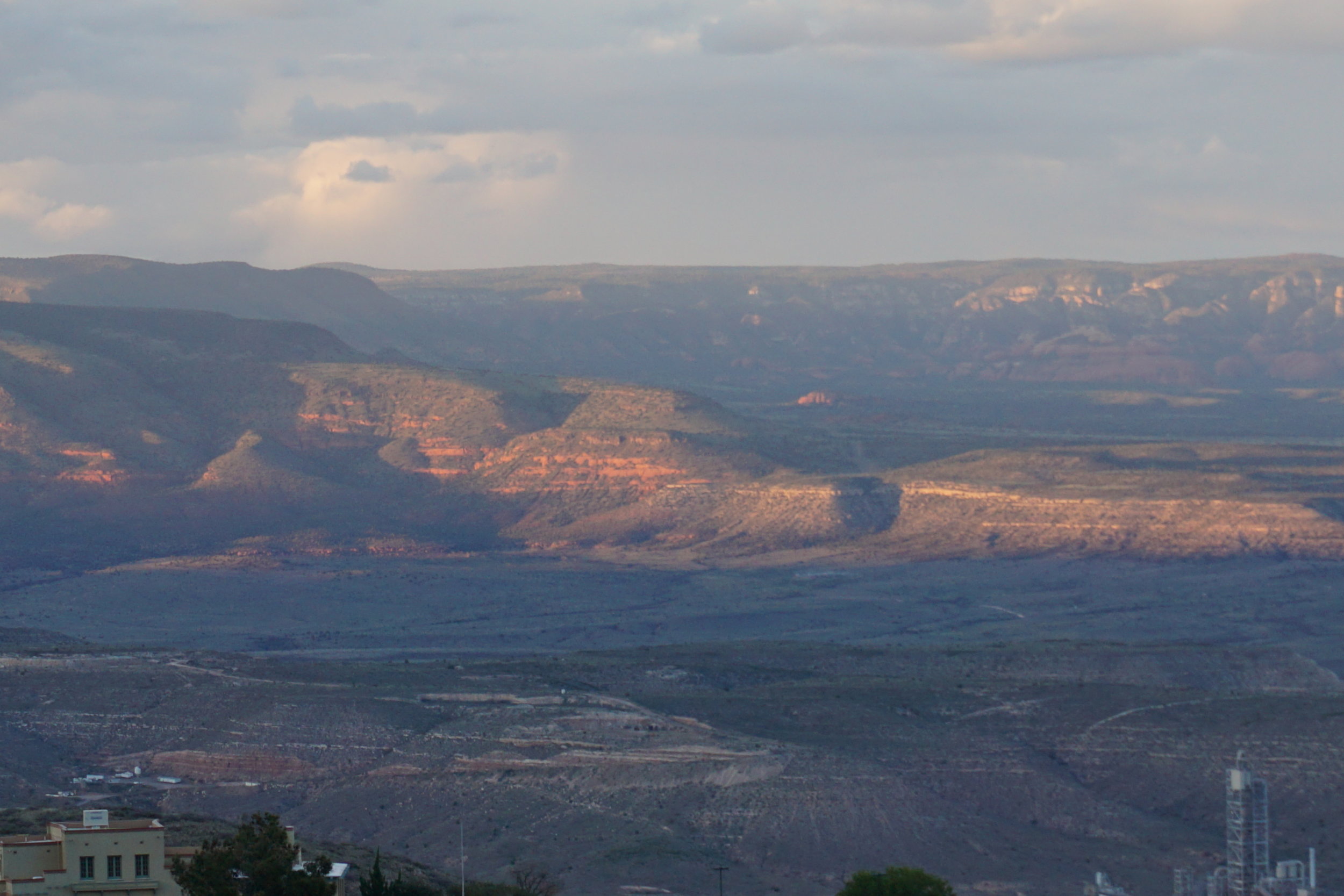
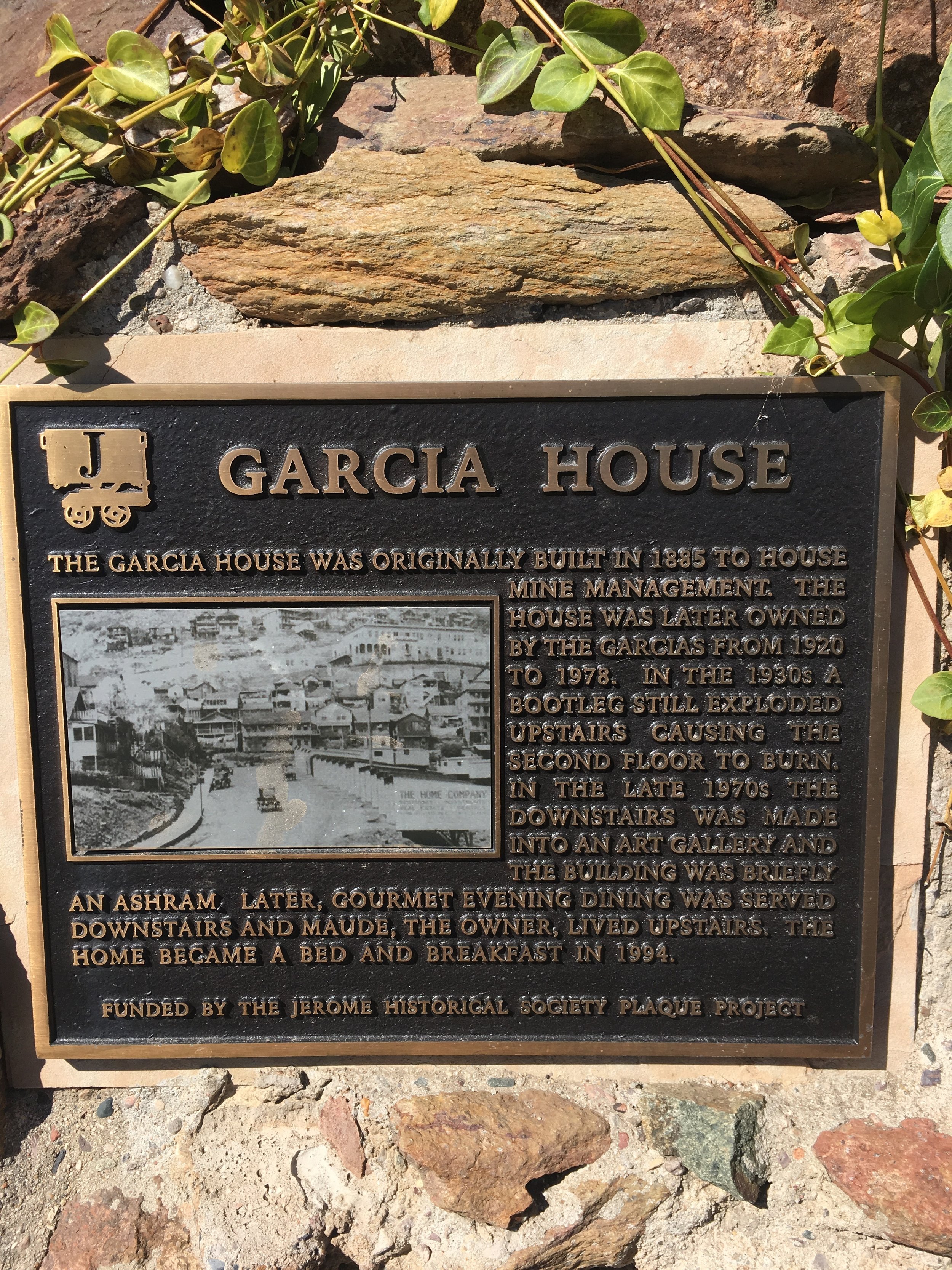
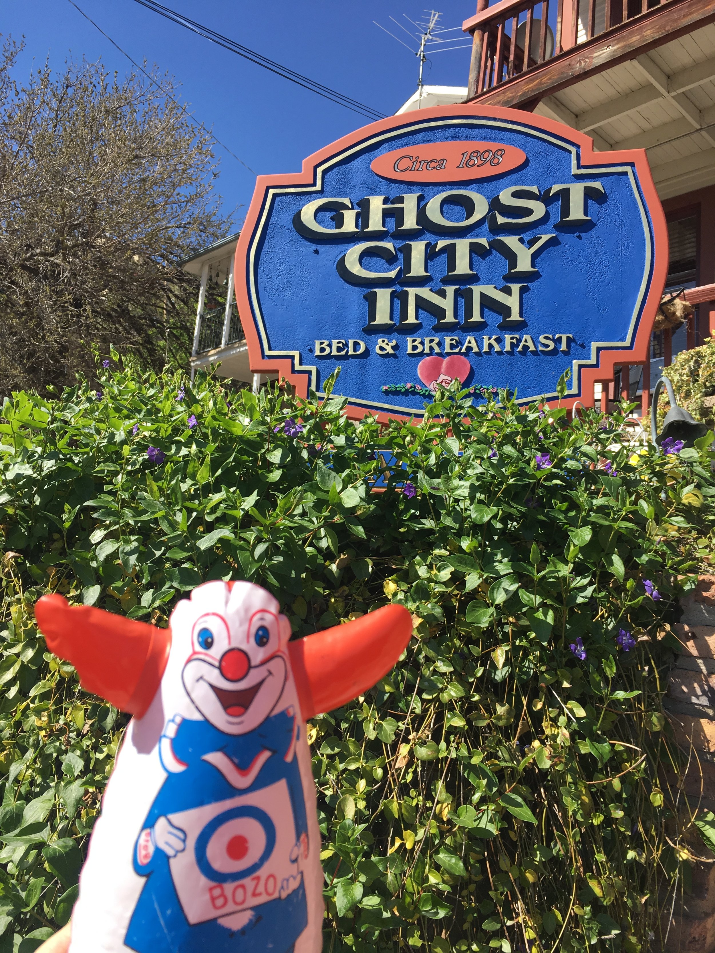
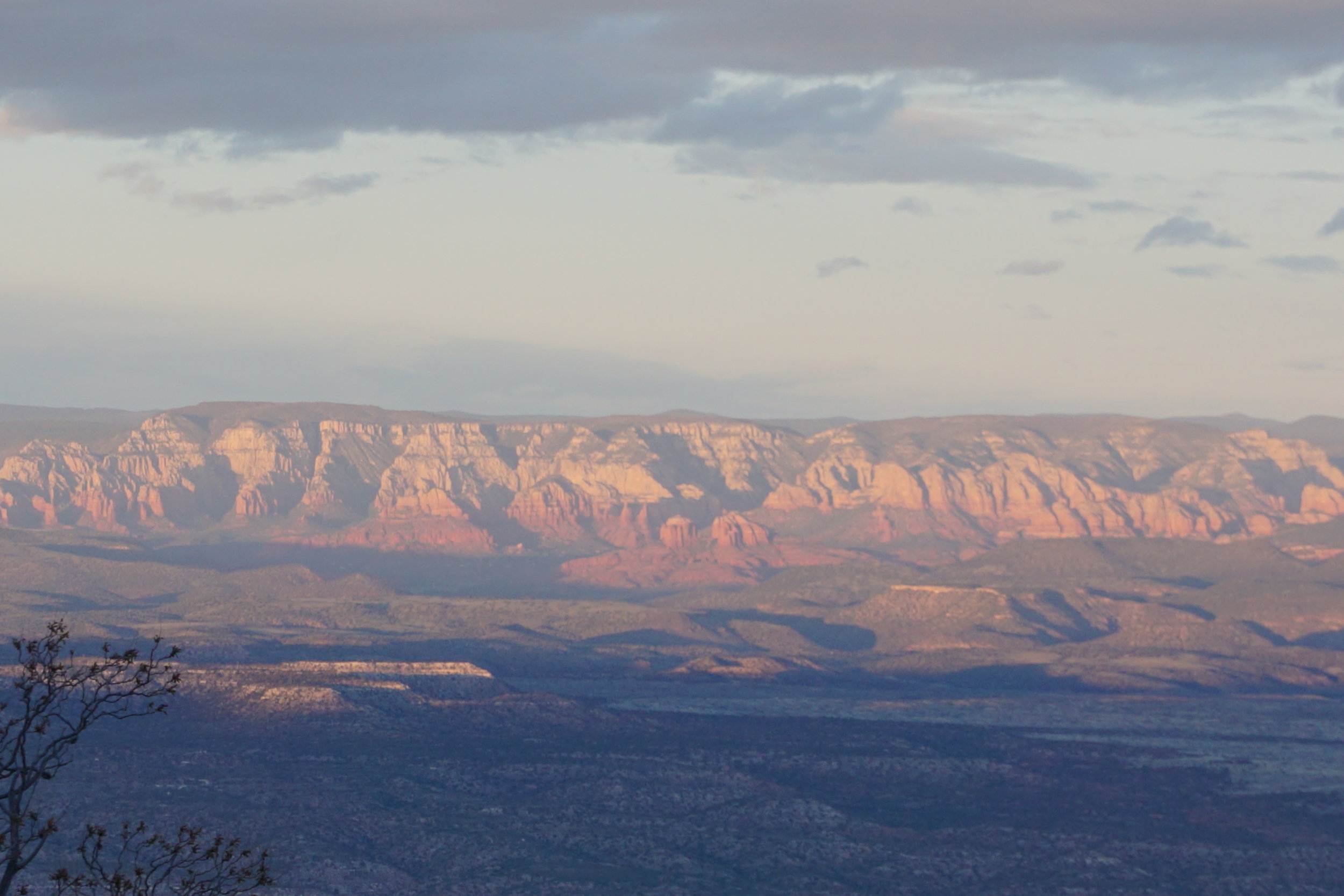
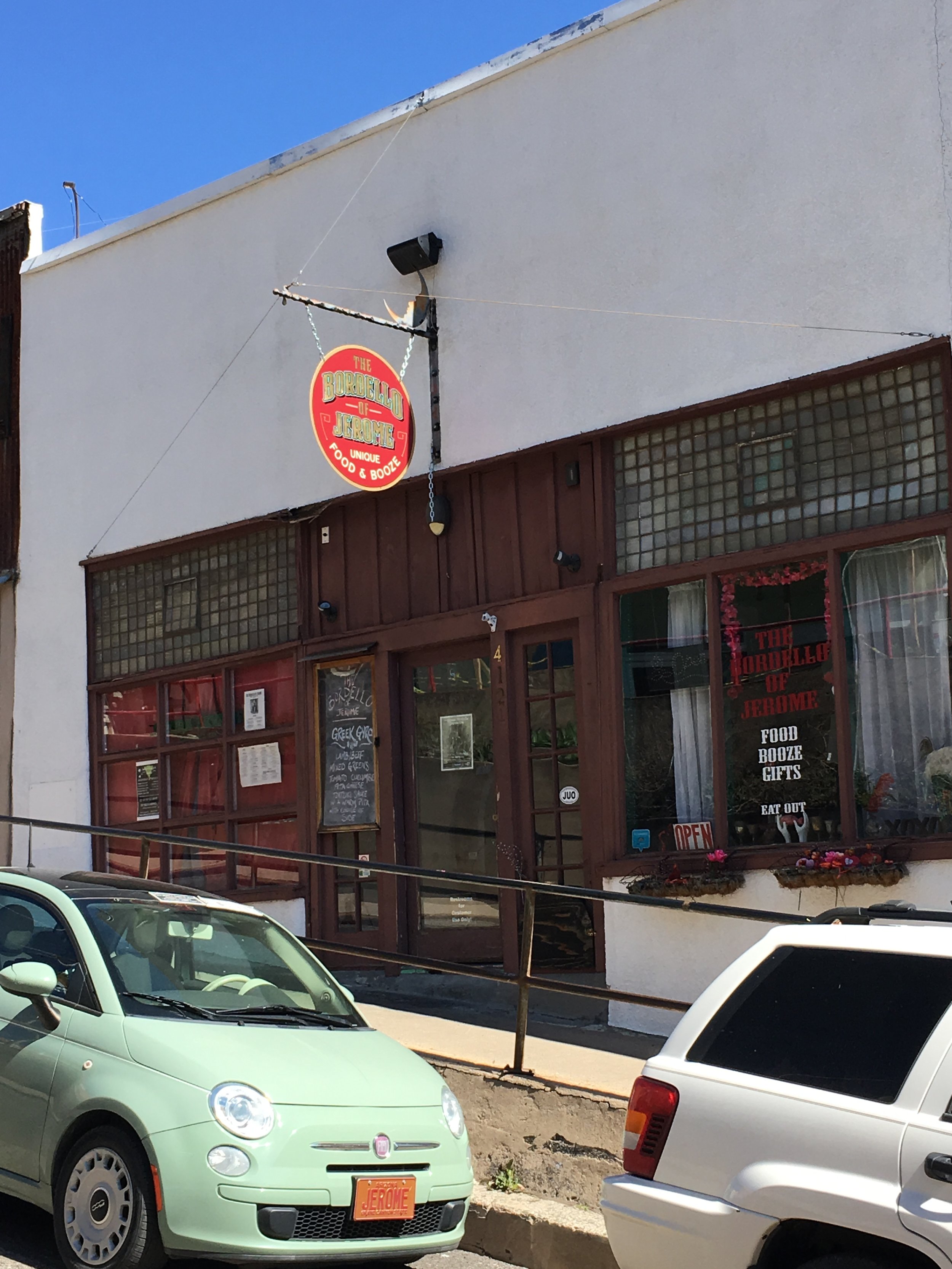
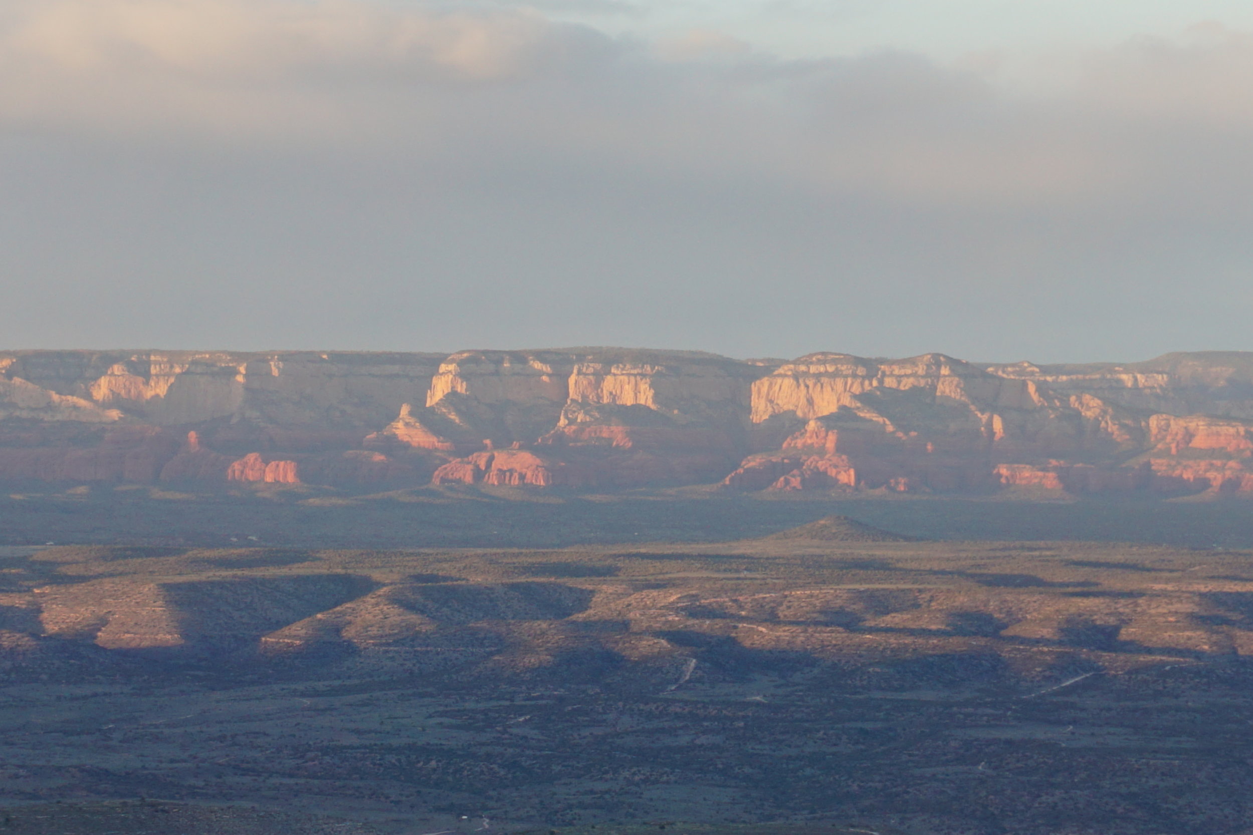
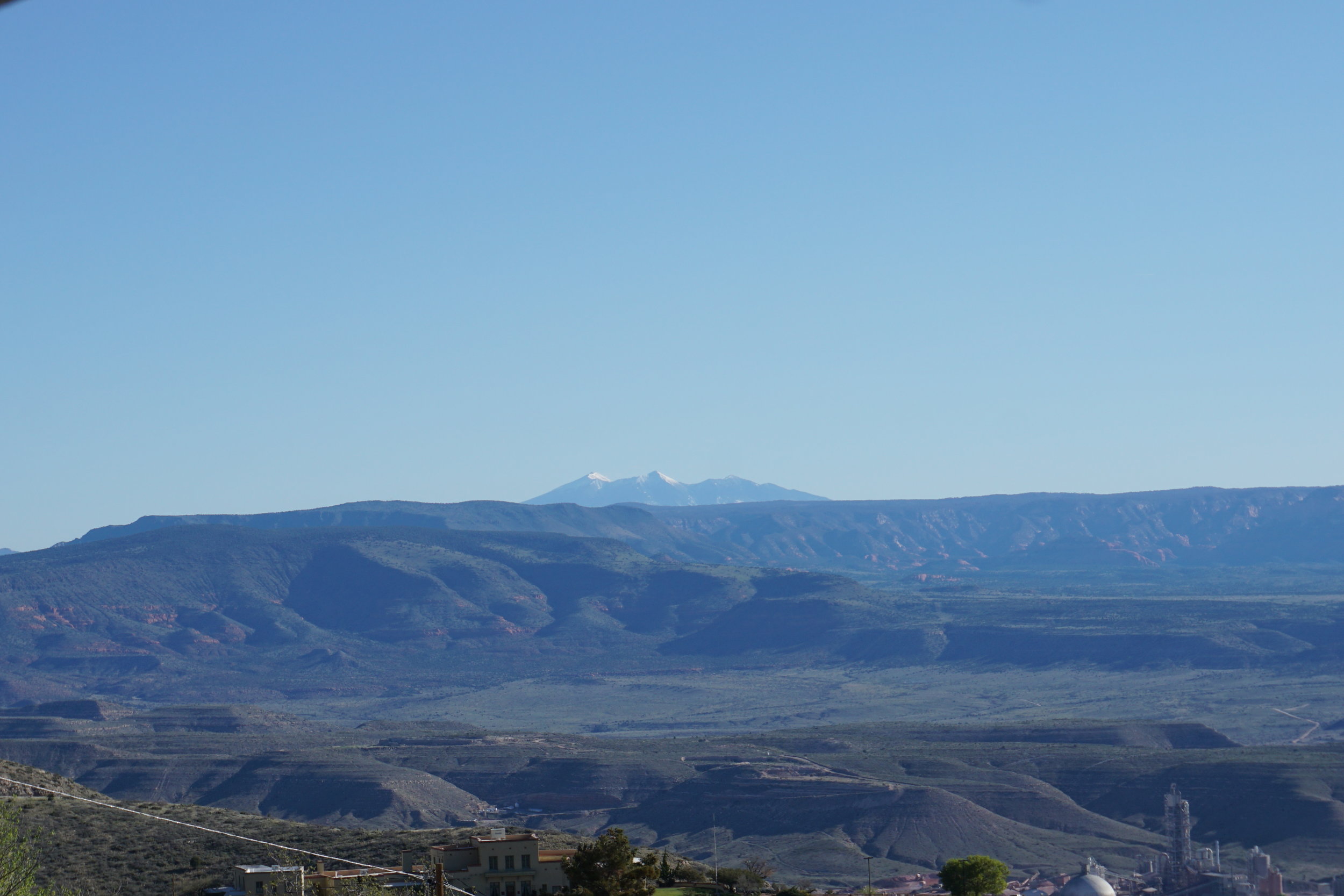
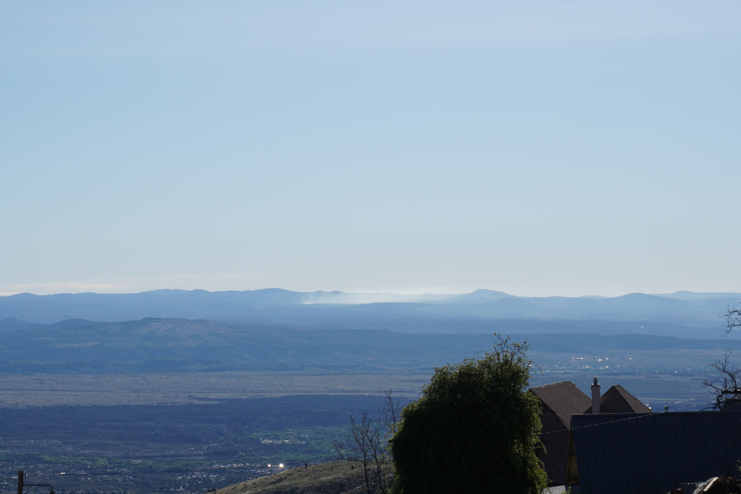
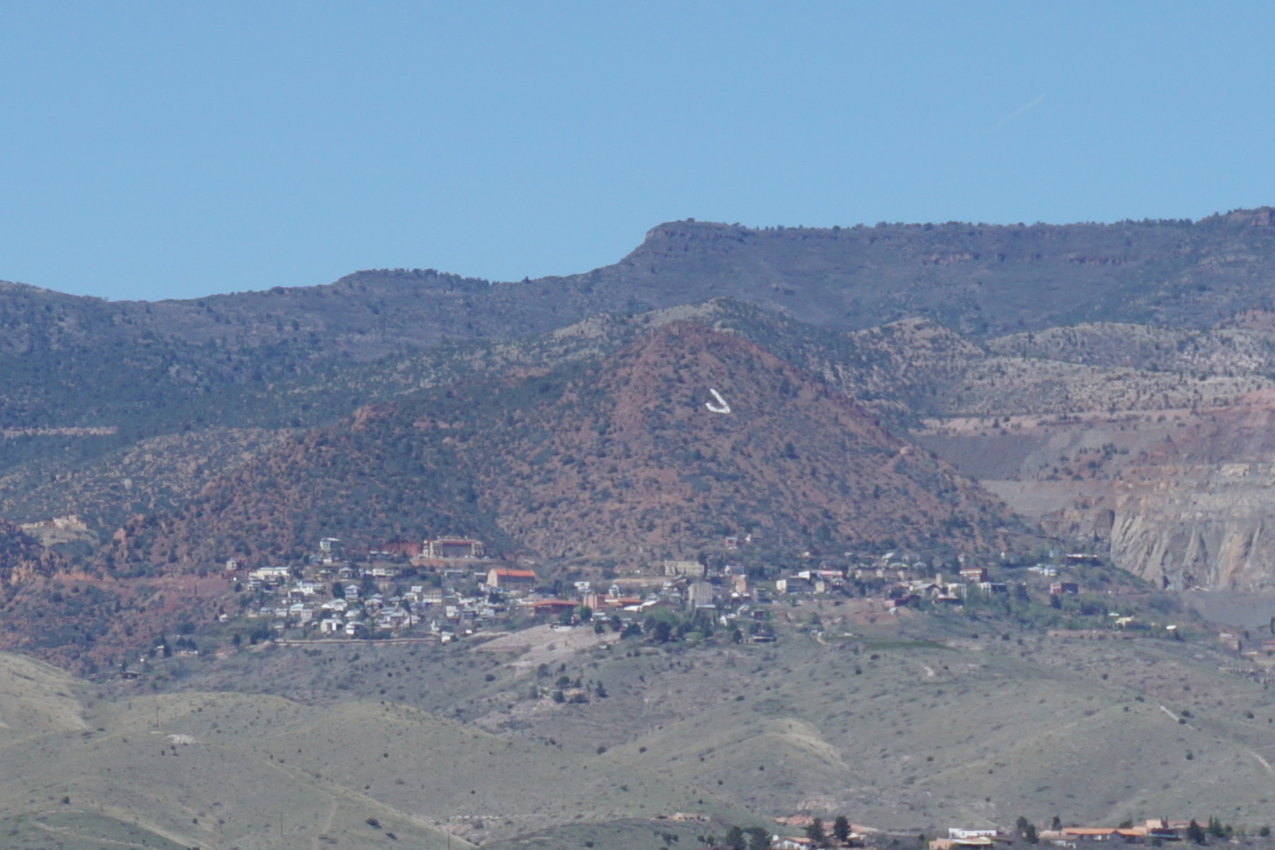
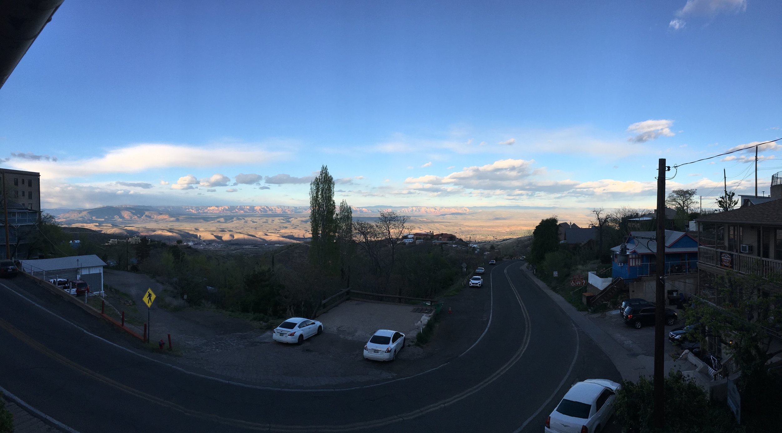
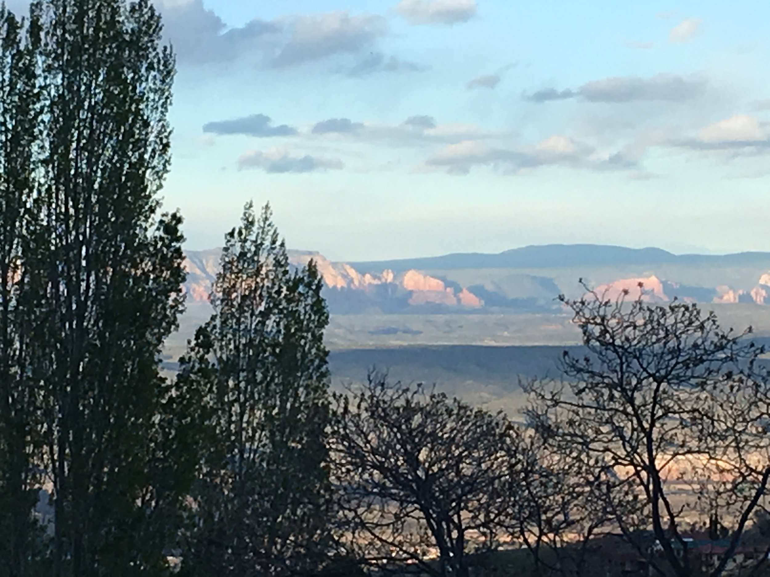
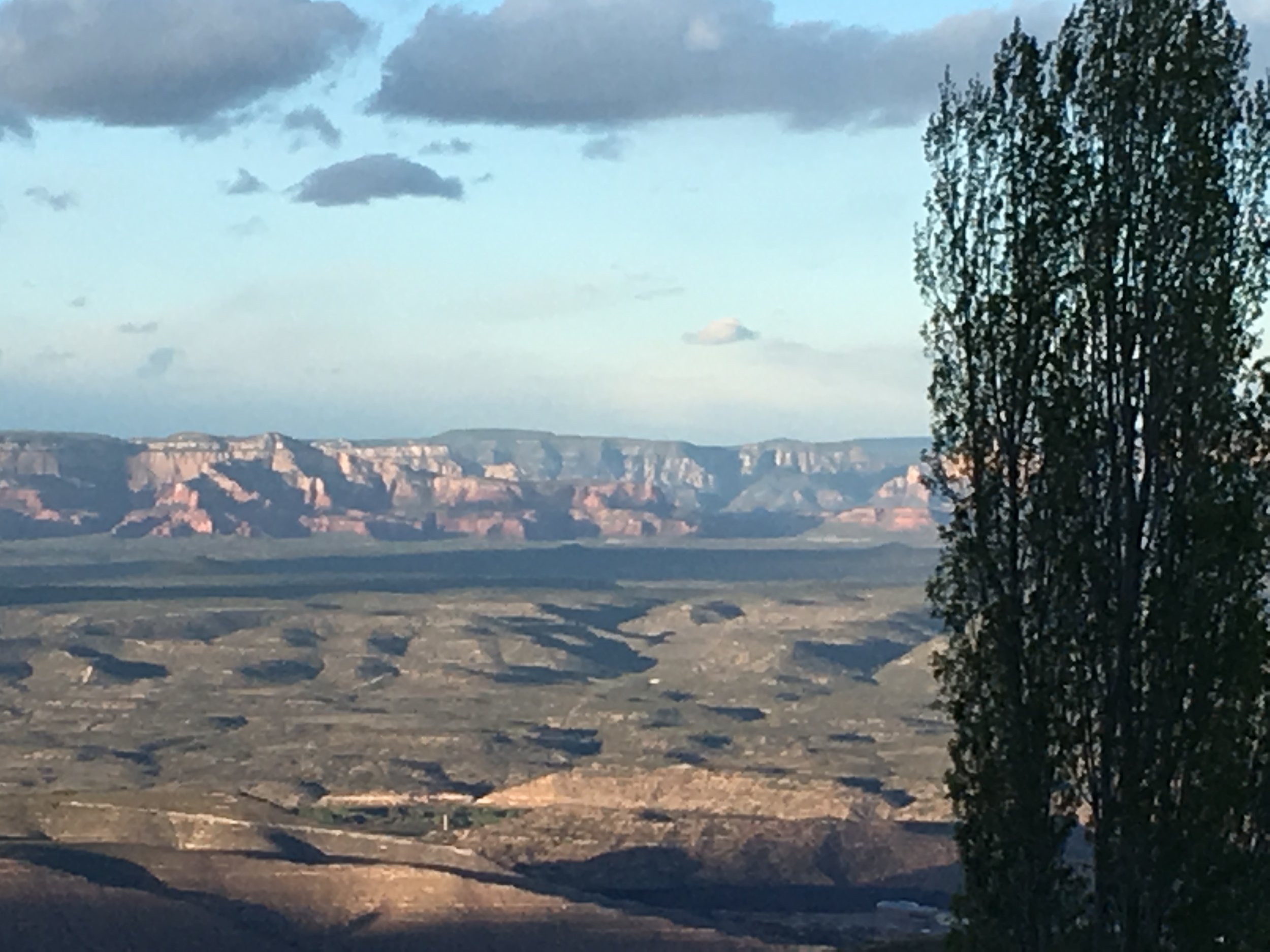
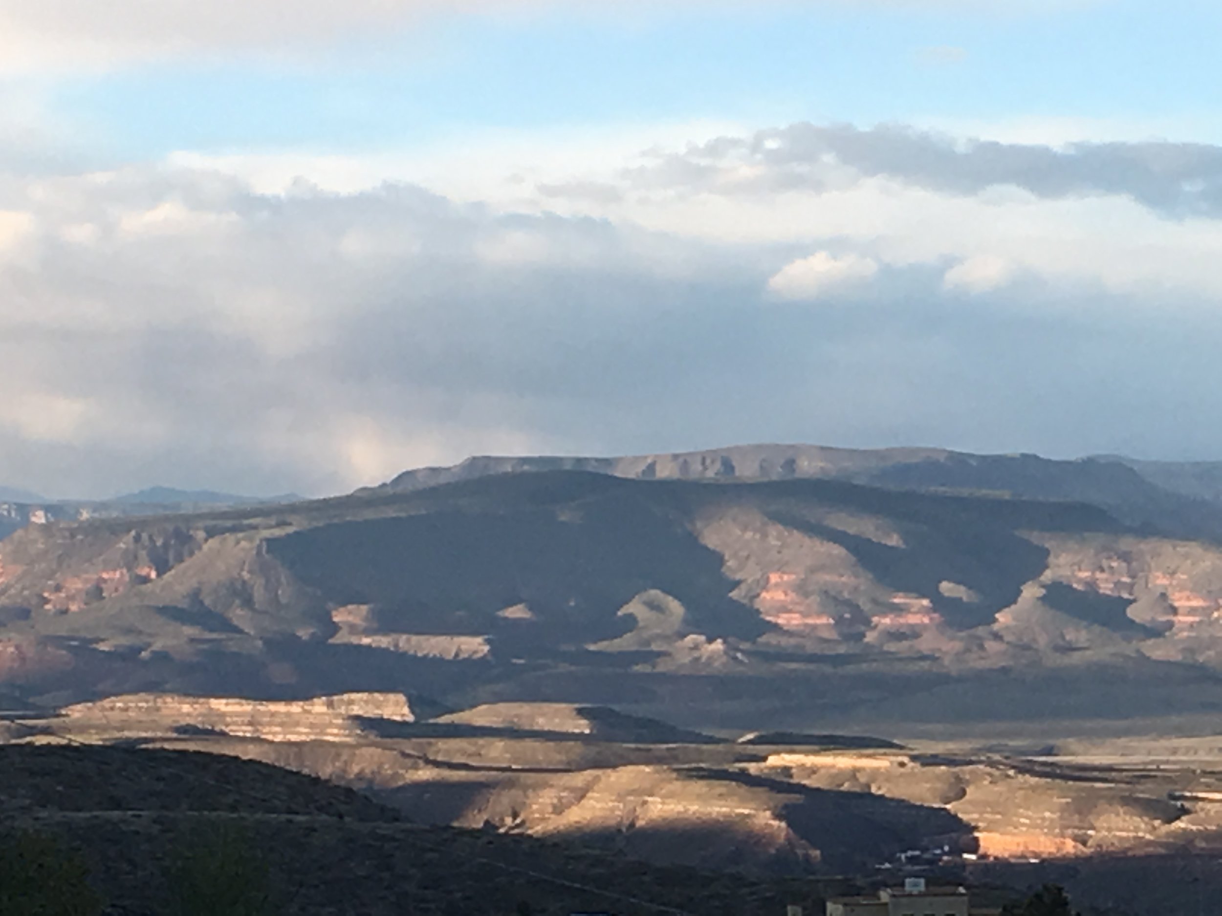
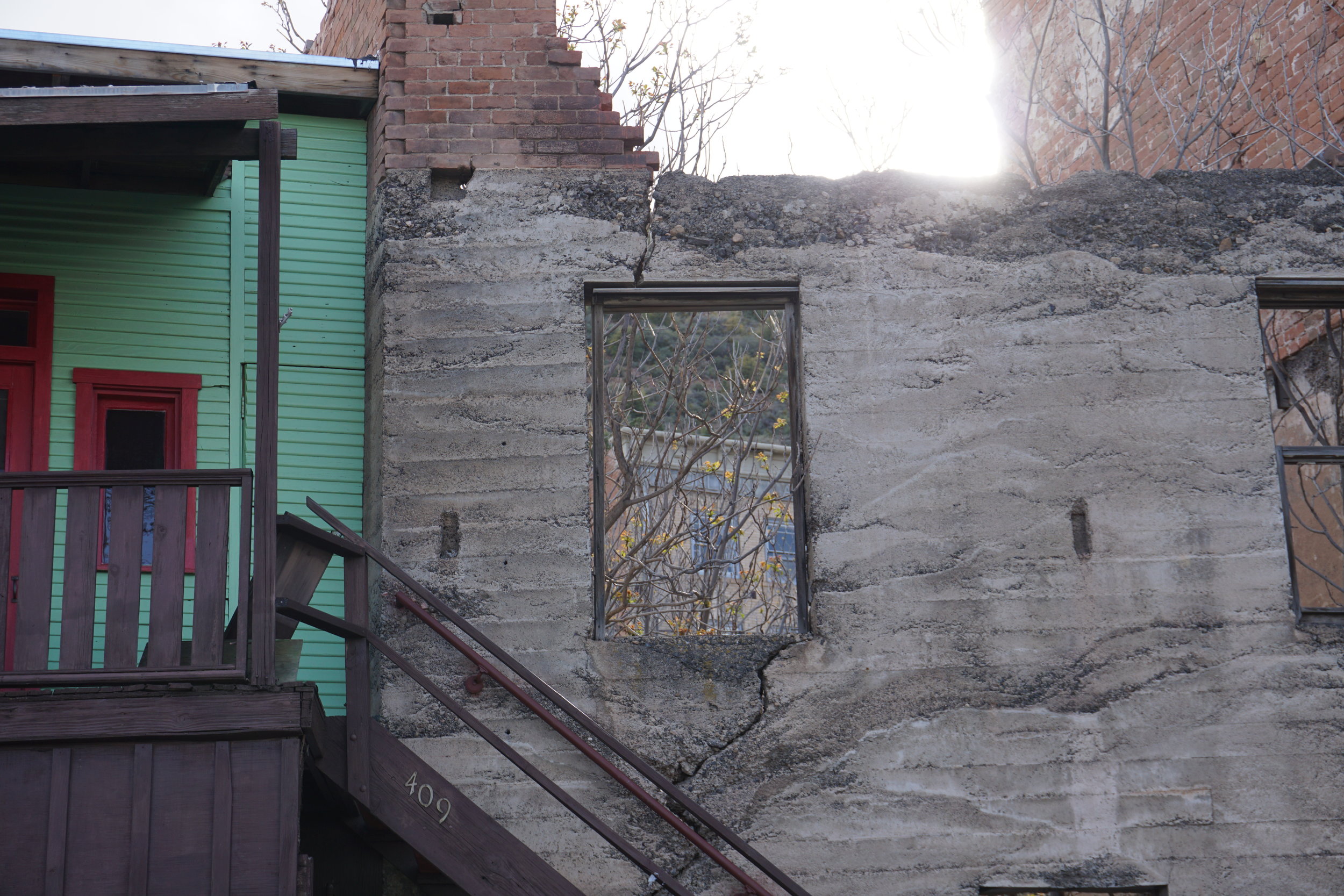
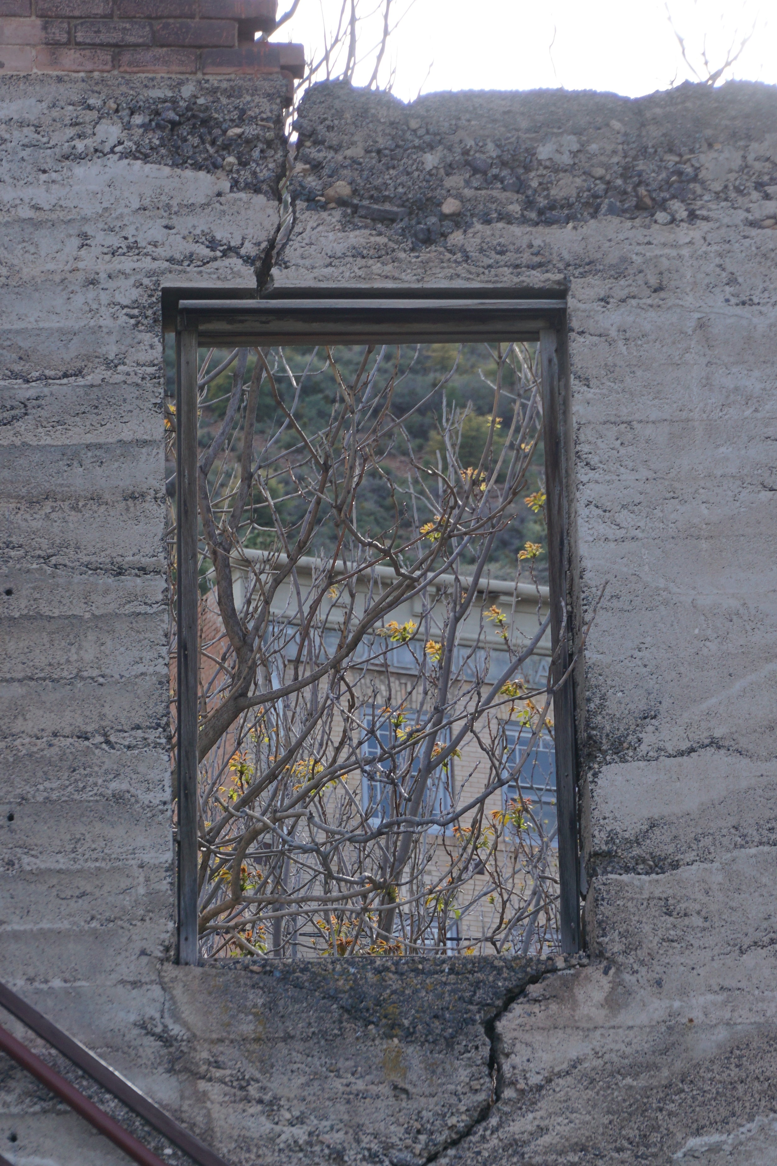
A couple days later we headed to Jerome, AZ, site of a major copper mine back in the early part of the 20th century. It was pretty much abandoned when the mine shut down in the 1930’s and taken over by artists and hippies in the late 1960’s. Today it’s a tourist attraction, set on the side of Mingo Mountain. We’ve done day trips but this time we wanted to stay overnight in order to better experience the town. We stayed at the Ghost City Inn, a bed and breakfast that was a housing site for mine managers. It’s got about 3-4 rooms and serves a good breakfast. The views are really good too. We had lunch at Grapes Restaurant and Bar, a place we’ve had lunch before. They have a good wine list and serve good Mediterranean dishes. The sauce on their Italian foods are excellent. There is a really good wine shop, Vino Zono, almost next door to the Ghost City Inn. You will find strictly Arizona wines. The owner will actually buy out a vintner’s entire production to ensure that she had the best. You will find coupons throughout the town that give you 50% off a tasting. If you have time, don’t miss it. We had dinner at the Bordello of Jerome. As it sounds it was a bordello at one time and it was one of the few places open after 7:30, and since we had a late lunch that worked out best for us. Good food and wonderful people. Feel free to try them out.

This will do for now. Next posting will be our trip to Clarkdale to ride the Verde Canyon Railroad. Clarkdale was the site of the smelter, after they moved it from Jerome because geologists found the mother lode of copper was UNDER the smelter. So the smelter got moved. The railroad was built to bring supplies for the mine and smelter down from the north.
So, Ciao for now.