
Arizona Fall'19: Into California
Well, blog fans, I’m trying to finish up our trip from last fall but it’s problematic. I lacerated the middle finger on my left hand on Christmas and spent several days into the new year at Urgent Care and Orthopedics since I nicked the tendon and it got infected. Needless to say it’s really hard to type with a splint on that finger so I’m going to upload photos of the final legs of this trip.
From Barstow we drove through the Mojave to Mariposa and spent a day in Yosemite before heading to San Francisco to get our Italian passports. We did make it to SPQR, the Michelin starred restaurant on Fillmore between Bush and Pine. Great food and the Executive Chef, Matthew Accarrino remembered us from 18 months earlier when we ate here after our citizenship appointments as a celebration. We got to speak with him for about 10 minutes as he was leaving. A nice person, unpretentious and a good boss. He doesn’t bark at his employees, he trains them. That’s unusual. You need to get reservations weeks to months in advance so plan your visit early. (https://www.spqrsf.com/)
From Mariposa we took CA 49 through the Bear Valley and Angel’s Camp, past Mark Twain’s camp where he was a gold prospector, and learned that writing was an easier occupation. After you leave Bear Valley, heading to Bagby you drop into the Merced River valley down an exquisite hillside road. From my previous posts you may be aware that we love long winding roads when we find them. There’s CA 1 from Leggett to the coast and the old Lewiston highway which we’ve driven several times, and the White Bird Grade which is on our to-do list.
After SF we drove US 101 to north of Geyserville to CA 128 down through the Anderson Valley to Mendocino and then up the coast on CA 1 to US 101 again and then home via Oregon and eventually at Reedsport took OR 38 to I-5 and home.


Now for the photos of our trip further towards SF via CA 49. Before dropping from the Bear Valley into Bagby there’s a parking spot at the top of the hill with a marker that describes how John Fremont had established a guard post there to protect his gold mine claims that had been taken over by a local group of miners when he was out of the state. That’s where we noticed the way the road wound it’s way down to the valley.


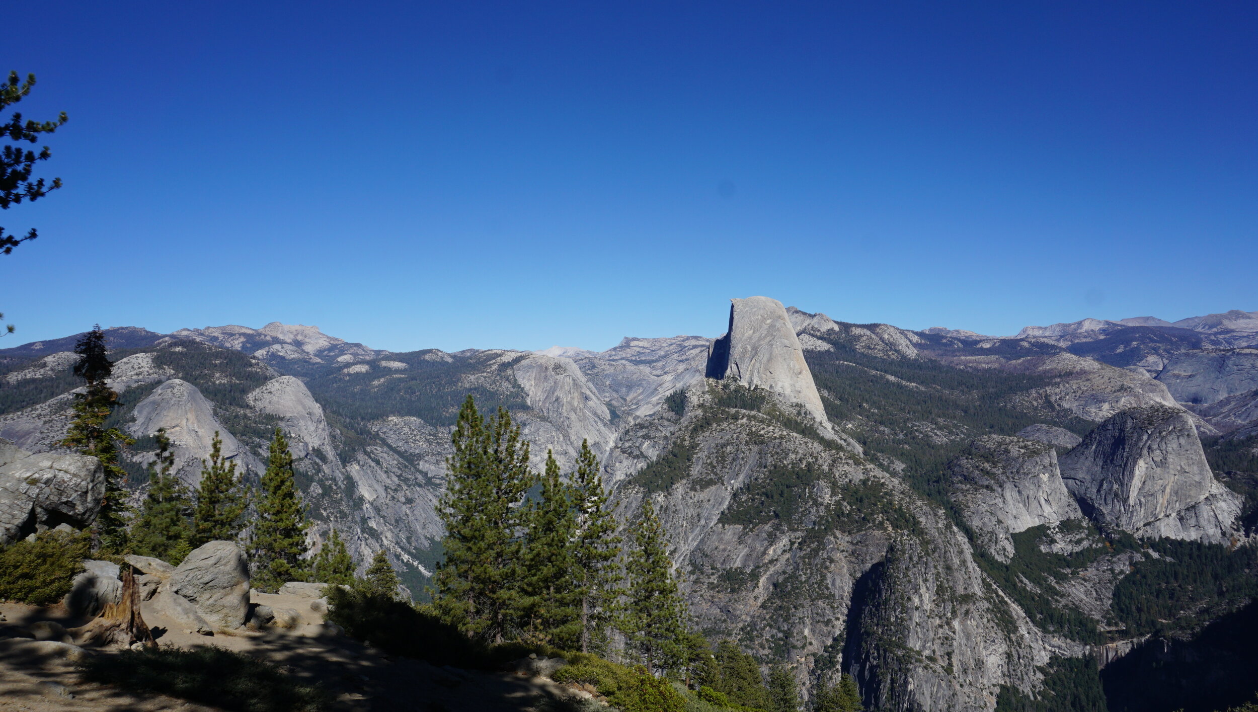
Yosemite and Half Dome from Glacier Point. The top photo below is the valley from Glacier Point road


In SF we stayed at the Queen Anne at Sutter and Octavia, only 4 blocks from Filmore and SPQR. It’s an old girls boarding school that was saved from the fire after the great earthquake. The fire department had started dynamiting entire blocks of houses to stop the fire’s spread and did so within a few houses from the site. It’s in Japantown and is a nice place. I’d be leary of staying when it’s hot, there’s no AC and the street noise is loud so you really can’t leave the windows open. Our first night we ate at Florio Cafe and Bar, next door to SPQR. Good food and not as expensive as SPQR. If you can’t get into SPQR it’s a good alternative.


Leaving SF for Fort Bragg and the Mendocino coast we drove up 101. The night before we left the Kincade fire had started and was at 400 acres, east of Geyserville. By the time we left SF the next morning it had grown to 10,000 acres and before we got to Geyserville later that morning it had exploded to 20,000 acres. As we neared the Napa valley wine area the smoke was real heavy and the fire’s column of smoke had become a mushroom cloud, signalling the fire’s explosion. By that evening it was over 40,000 acres. After we turned onto CA 128 at Cloverdale we pretty much left the smoke behind.
One of the first vineyards on your way into the Anderson Valley wine region at Yorkville is the Yorkville Cellars. Since it’s at the head of the valley and at a higher elevation they can grow a wider variety of grapes. Many of the lower elevation vineyards are heavy in with Pinot Noir, like the Willamette region outside of Portland. We stopped at Yorkville Cellars and enjoyed a tasting, picking up a bottle of Carmenere for the road. We stayed in Ft. Bragg and ate at Silvers at the Wharf. I’d recommend it. Decent food at a reasonable price and a great view of the harbor entrance.


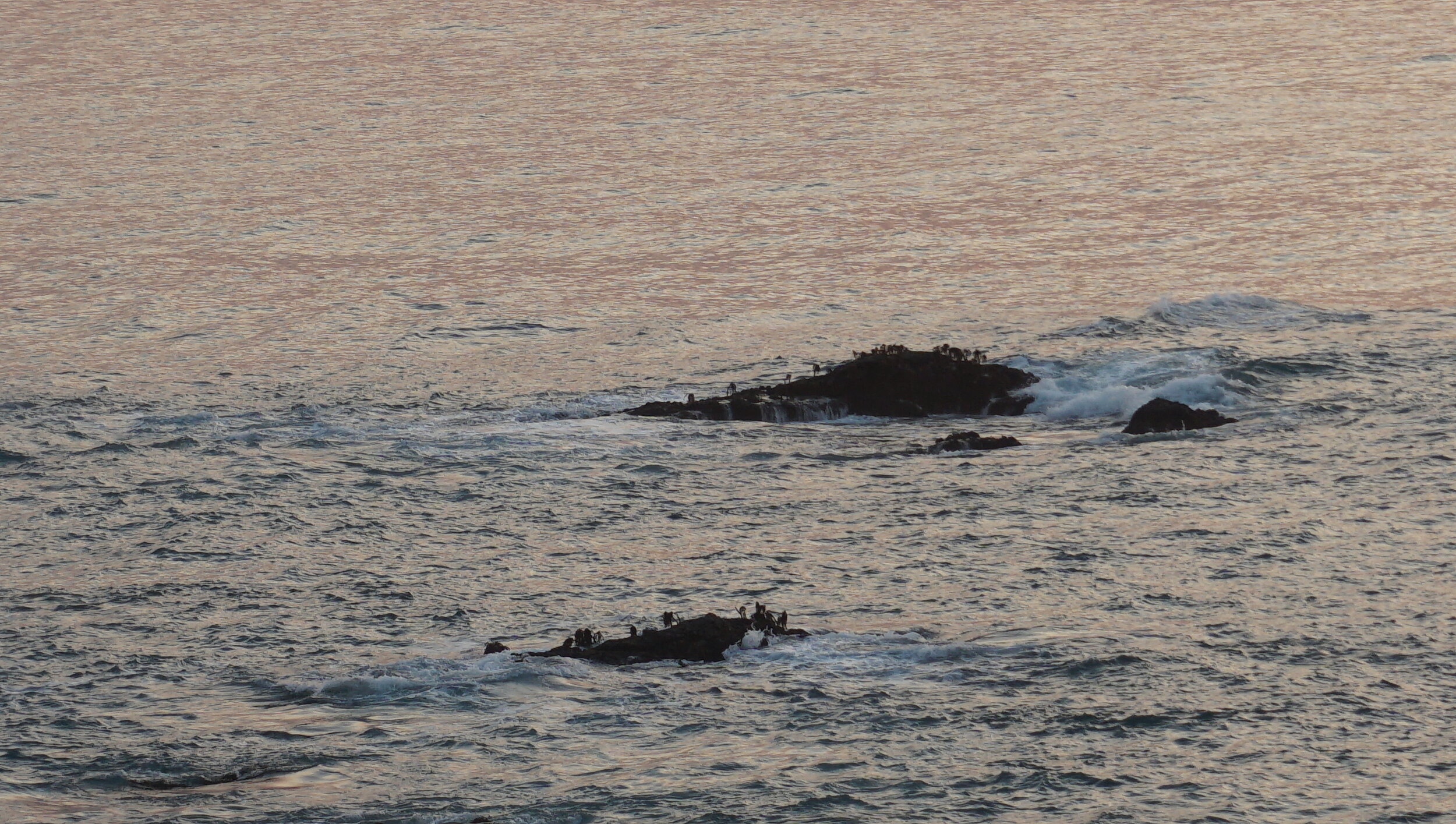


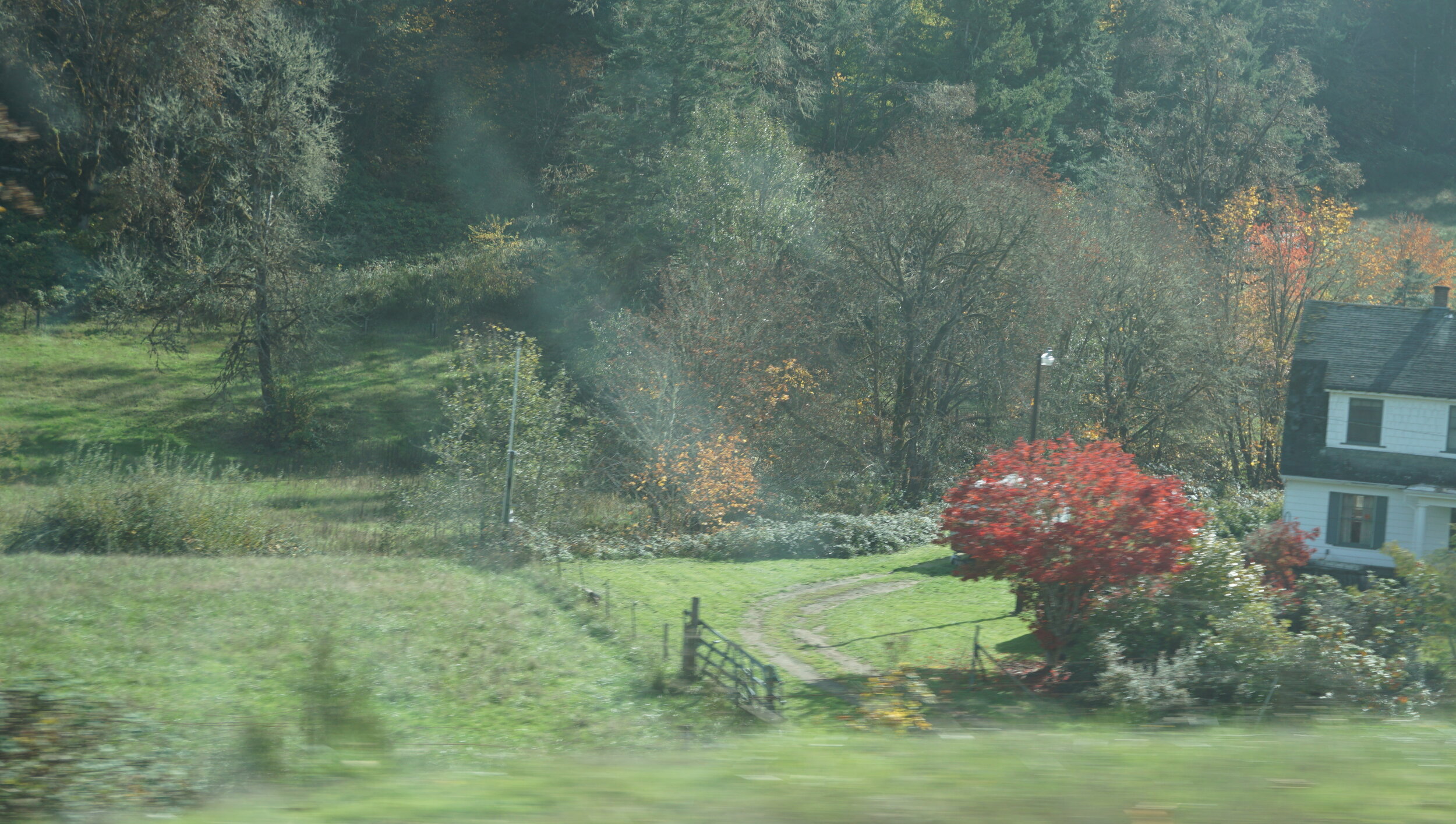
From FT. Bragg we headed up CA 1 to US 101 . The road from the coast up the coastal range is 28 miles of curves and switchbacks. Check it out on a map app like Google Maps. We followed 101 through the redwoods park and we like to stop in Elk Valley. We’ve almost always seen elk herds here and at this time of the year, late October, it was no exception. We drove to Coos Bay`and followed the Umpqua River from Reedsport up to I-5 and Seattle. The Umpqua Highway is a good drive. Just after you turn off 101 there’s a park where we, again, found elk settling in for the winter. The country is pretty and plenty of opportunities for scenic views of the river bottoms. The trees were just starting to change color but there hadn’t been a strong frost yet so the only reds were on the vine maples, everything else was only yellow or gold. This also gave us a chance to see Drain, OR. We’ve joked on every drive through OR about going down the “Drain” to the coast, and now we’ve gone up the “drain’.


Well, that covers our last road trip. Next is another Sicilian journey. Maybe I’ll hold off till I get all my fingers back. The splint I have to wear for another month makes typing a real pain in the ass.
Ciao for now.