
Arizona Fall '19: Desert Driving
Another trip to the desert for this year. We had a couple events to attend. Our great-nephew got married at Walnut Grove, outside of LA, early in October, a birthday party for Cathy’s cousin in Phoenix and our appointments for Italian passports in San Francisco near the end of the month. We also had another opportunity to try and drive the road through the Chiricahua Mountains. Previous attempts were thwarted by time, flash floods, road work, and late winter snows. Trying to do this in late summer and fall gets problematic because of the monsoon rains that fall brings. The one good result is that the desert gets green again.
We first did a return trip to the Boyce Arboretum out Route 60 towards Globe. Since we didn’t have a lot of new things to see we also took a drive out to Roosevelt Lake on the Salt River. It’s a couple hours drive out through Tortilla Flats on the Apache Trail hoping to see some of the wild horse herds or desert mountain sheep that populate the valley. We weren’t successful in either. We did get to see the sheep a couple trips ago, down in the bottom of Fish Creek but not this time.


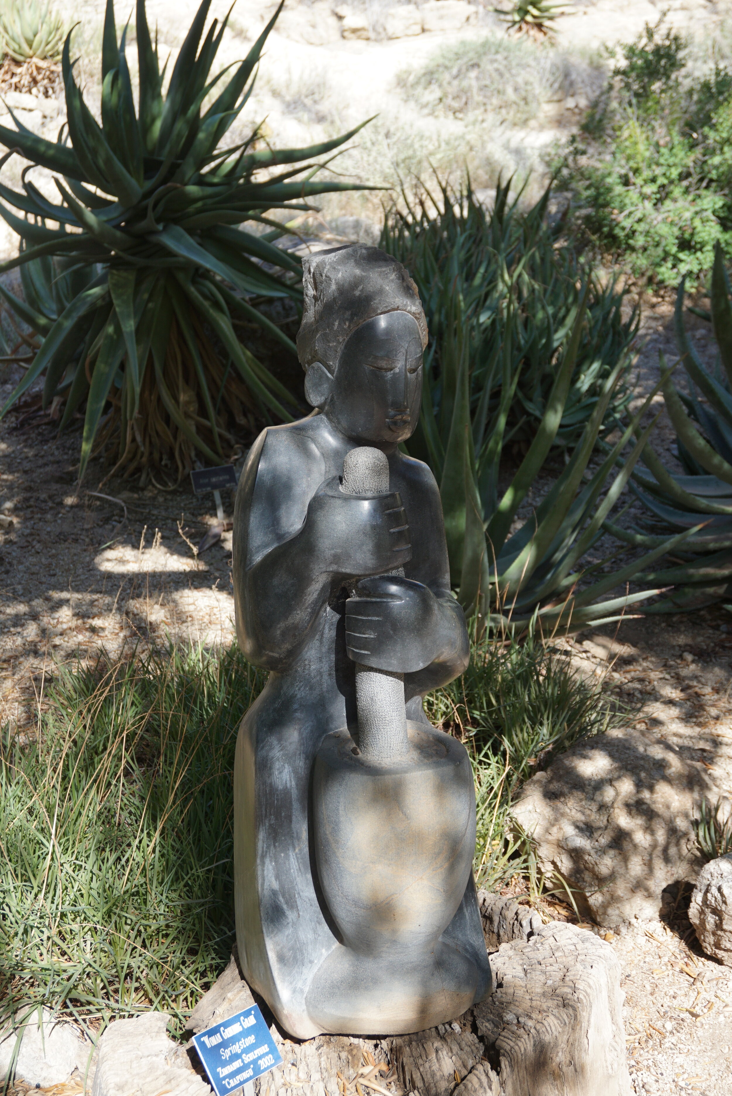
If you’re in the area take the time to see the Boyce Arboretum. The site exists because a copper baron, Boyce, took the Oak Creek Canyon and converted it to a wonderful display of desert flora. There is also, at the lower elevations of the entrance, a humming bird area that is alive with the little sugar seekers. We met an orchard owner there who comes to see the hummers that don’t frequent his property. Be sure to take a camera, especially in the spring when the cactus are all blooming. This late in the year the fall rains do bring out some more blooms, but not like earlier in the year.


One of the reasons for this trip was to attend a 50th birthday party for Cathy’s cousin, Donna.


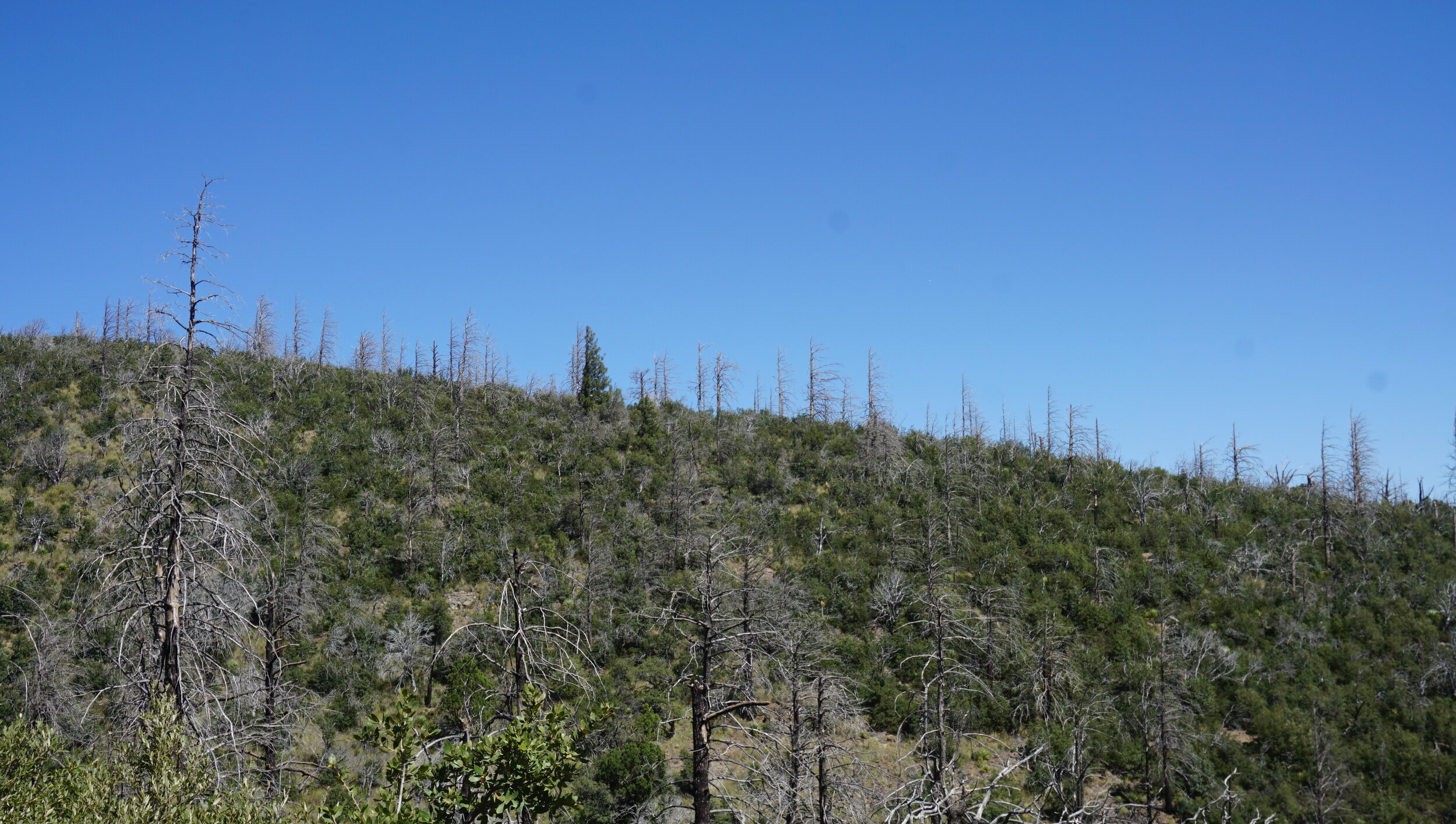
A few days after that we headed off to the Copper Horse vineyard to see our niece and her husband and, hopefully, get the opportunity to drive through the Chiricahua Mountains in the Coronado National Forest. It was worth the wait. The weather was beautiful, the road was open and dry. There were almost no other vehicles so the only dust we ran into was our own, if the wind was not in our favor. If it wasn’t and we wanted to stop to catch a really good vista we’d have to wait for the dust cloud to pass/settle before exiting the car. There were a lot of deer on the east side of the mountains, as you drive up Cave Creek Canyon. The lower elevations’ oak and pine forests are full of the Chiricahua deer, actually the Coues deer. They are a small sub-species of whitetail deer, short, only 32-34” at the shoulder and rarely over 100 pounds. Kind of the size of the inbred deer in the San Juan Islands. (A guy I know shot one in the San Juans, years ago, and referred to it as a “dog”. A German Shepherd is about that size so the description is apt.) They have a grey coat and really blend into the understory and background.


Overall, the road through the mountains was in really good condition and it’s a lot faster getting to the Monument from the east side, (its 45 minutes against having to drive a couple hours). There are some nice vistas, but what’s more interesting is that the Chiricahua Apaches moved through these mountains, and the other ranges in the Southwest, so easily and quickly. I purchased a book at the Cave Creek Canyon on the Apaches from Cochise to Geronimo 1874-1886, by Ed Sweeney, an expert historian and author of several books on the Apaches. This book covers the last decade of their battles against the US and Mexican forces. They roamed from Mexico to Taos, Arizona to Texas, and as this expanse was their ancestral homeland, they knew it well. It’s an excellent read, though a bit confusing due to the huge cast of characters and the internecine disputes between the multiple Apache tribes and clans. What it really points out is the overreaction of the settlers and harsh penalties the entire tribe paid for the raids by less than 10% of the tribe. There were serious masacres on both sides but the native tribes fared the worst. The Mexican authorities had a formal policy of trying to get the Apaches to come for talks and then attacking them. The US was only able to overcome the Chiricahuas by using Apache fighters, many from other tribes, and a lot of Chiricahuas from the reservations that were tired of war and thought that if they helped bring in the warriors that they would be allowed to live in peace, to no avail.
The highest elevation, via the road, in the Chiricahuas is almost 7600 feet. It’s really interesting that at this altitude, the same as many peaks in the Cascades that have snow most of the year, you’re in true high desert. There are many peaks around Arizona and New Mexico that are “sky islands, areas that are cool, forested and have deer, bear, cougar as resident fauna. Not much water up here. The valleys, like Cave Creek, Pinery, and in the Dragoon Mountains, have springs, Dragoon Spring, Apache Spring, etc where you find the wildlife and native plants that sustain life in this harsh environment.


After we traveled across the mountains we ended up at the entrance to the Chiricahua Monument. We only went in as far as the Visitors Center in order to use the facilities and stretch our legs. We were here in April of this year and that post has photos of the Monument. Since we were headed back to the 4 Bar Cottages outside of Portal we headed towards Wilcox, the last major town in Arizona before New Mexico, and where Copper Horse’s vintner has his winery.
As we headed up the highway we saw a sign for Fort Bowie, the one of western fame. Checking our maps we saw that the road led through the mountains to Bowie (naturally), AZ and, we came to find out, took the original Butterfield Stage Line route through Apache Pass. Yes, Virginia, there is an Apache Pass road and it runs between Dos Cabezas Peaks and the Dragoon Mountains, just north and west of the Chiricahuas. The national historic site is a 1.5 mile hike from Apache Pass road, but since we were not prepared to head into the desert this day we demurred for our next trip, which will be after we get back from Sicily next spring. Based on our past experiences we figured the actual distance was at least 2 miles, if not longer. “Ranger miles” are a common occurrence out here. Best be prepared for about a 30% longer walk than listed. Our host at the 4 Bar, Bill Cavaliere, told us that the hike is educational because there are signposts along the way describing the various “battles” during the Apache wars. There is a road back to the site but it’s listed for handicapped access only so be prepared to walk if you don’t have the placard. There is a visitors center and a ranger stationed there, as well as the Ft. Bowie cemetery. Google Maps has several photos taken at the site. Search for Ft. Bowie National Historic Site and then open the photos. Driving through the pass you can see the kinds of cliffs and narrow defiles that were always depicted in movies, maybe even used in some. Not hard to imagine Apaches attacking from the heights. It’s a good road. The main ones around here, like this, the State Line road from the AZ/NM border on NM88 runs north to the Portal Road, about 12 - 15 miles of gravel which is good enough to hold 40-50 MPH.


One of the funnier scenes we saw was on the way to Rodeo on NM 80 south of I-10. About 7-10 miles on the way to Rodeo we came upon a Border Patrol checkpoint. They place bump strips, really sharply pitched and narrow ones, on the road to slow traffic. If you don’t almost stop you could blow out a tire, or two on them. There were a half-dozen vehicles on both sides of the road, off in the desert. Under a large camo colored nylon tarp that supplied shade sat 8-10 BP agents and one poor agent standing in the sunlight in the middle of the road. They were stopping all cars northbound and we were forced to stop momentarily as we were headed south. I really wonder how effective this procedure could be. Stateline Road runs from the NM/AZ border north to NM 533, the “Portal Highway” as it is called once it hits AZ. About 10 miles east of that intersection, just east of Portal, you hit the Foothills Road that takes you to I-10 at San Simon, the last gas in AZ. If someone wanted to avoid the BP it would be easy. No self-respecting smuggler would use the highway. I figured it was a fine waste of taxpayers money. A dozen agents sitting in the shade all day on a road that has more semi trucks than anything else. A single vehicle would have been enough. I’m afraid that overreaction is the rule when it comes to the border.
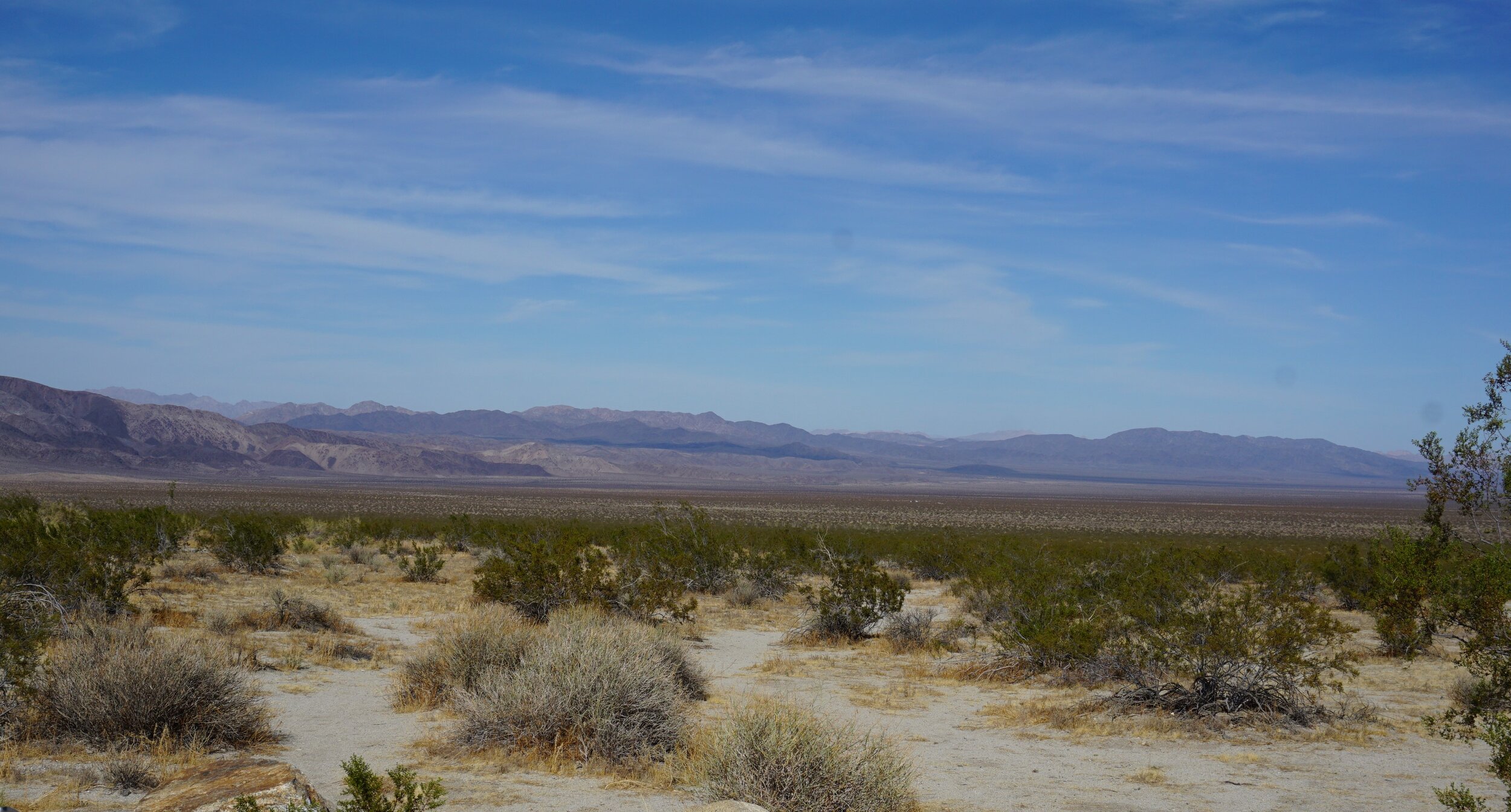
We spent a couple more days in Sun City before heading to San Francisco, doing some sightseeing along the way. Last fall we drove the eastern half of the Joshua Tree National Park, from 29 Palms to I-10 through the Cottonwood entrance. This time we drove the entire Park, from Cottonwood to Joshua Tree. We were headed to Barstow, then Mariposa with a day trip to Yosemite National Park. Taking advantage of the journey when we have time for these side trips is a great advantage. We had an appointment to make on the 23rd so we just left AZ a day early. It enabled us to see some country we would have not encountered otherwise.
The eastern half of Joshua Tree Park is largely the Pinto Basin, a large expanse where, believe it or not, someone tried to start a turkey farm in the middle of the desert out there. The western half of the park is where the large forests of the joshua trees are located, and some really interesting rock formations. There are a lot of campgrounds in the western half, and all were full when we drove through. I can see why, when trump shut down the government for his border wall demand, people could run rampant and destroy these trees. It’s a large expanse, and isolated. I’m glad we took the time. The road is paved and it takes only a couple hours to cover it. After the park we drove CA 247 through the Mojave to Barstow.


So that’s it for today. I had to redo the last half of the text here because of the touchpad. It’s easy to inadvertently highlight a complete block of text and then when you hit the space bar the block DISAPPEARS! Too common an occurrence.
The next post will be of our trip into Yosemite and the drive from Mariposa to San Francisco. We found another neat long, winding road into a valley that I’ll be sharing then.
Ciao for now.